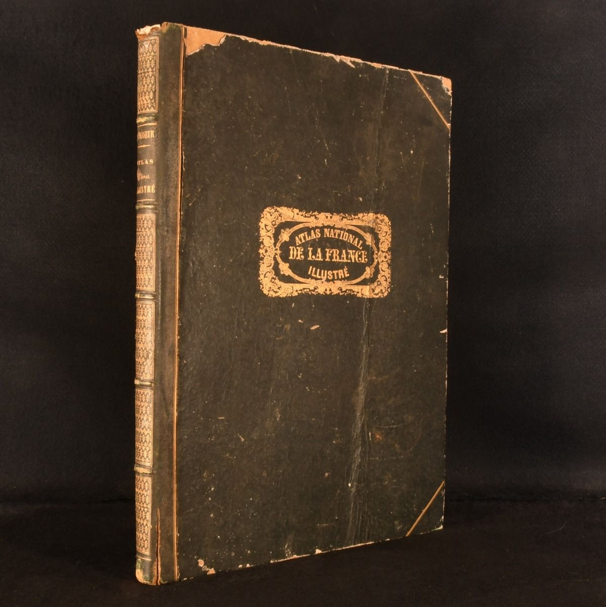
Victor Levasseur [Ed.] — Atlas National Illustre Des 89 Departements Et Des Possessions de la France Divise Par Arrondissements, Cantons Et Communes
Paris, Pelissier, 1861 . Leather. A sweeping 19th century French atlas, with one hundred and one colour tinted maps, renowned for Levasseur"s elaborate engraved borders. In a contemporary dark quarter morocco binding with cloth covered boards. A large illustrated mid 19th century French atlas, comprising decorative engraved maps of the French departments and wider world, embellished throughout with elaborate pictorial borders depicting regional industries, costume, agriculture, architecture, commerce, and historical figures. Illustrated with one hundred and ten engraved colour tinted map plates. Collated, complete. Compiled by Victor Levasseur (1800-1870), one of the most celebrated French cartographers of the nineteenth century, renowned for his highly decorative atlas maps. A striking French atlas, celebrated for Levasseur's elaborate engraved borders and vibrant hand coloured departmental maps. In a contemporary dark quarter morocco binding with cloth covered boards. Externally, a little worn. Rubbing and bumping to extremities resulting in slight loss to cloth and morocco, more so to upper extremities. Cracking to joints at lower extremities. Slight loss to head of spine. Boards and spine slightly faded with the odd scratch and handling mark. Front board split towards fore edge resulting in creasing, with this portion loose, but holding, also affecting the front paste down. Creasing to fore edge of front endpapers. Internally, firmly bound. Pages generally bright and clean if typically age toned with one or two spots to margins. Minor creasing with slight loss to fore edge of first few leaves from handling, notably to the title page, not affecting the contents. Good . Ill.: Victor Levasseur. Good .