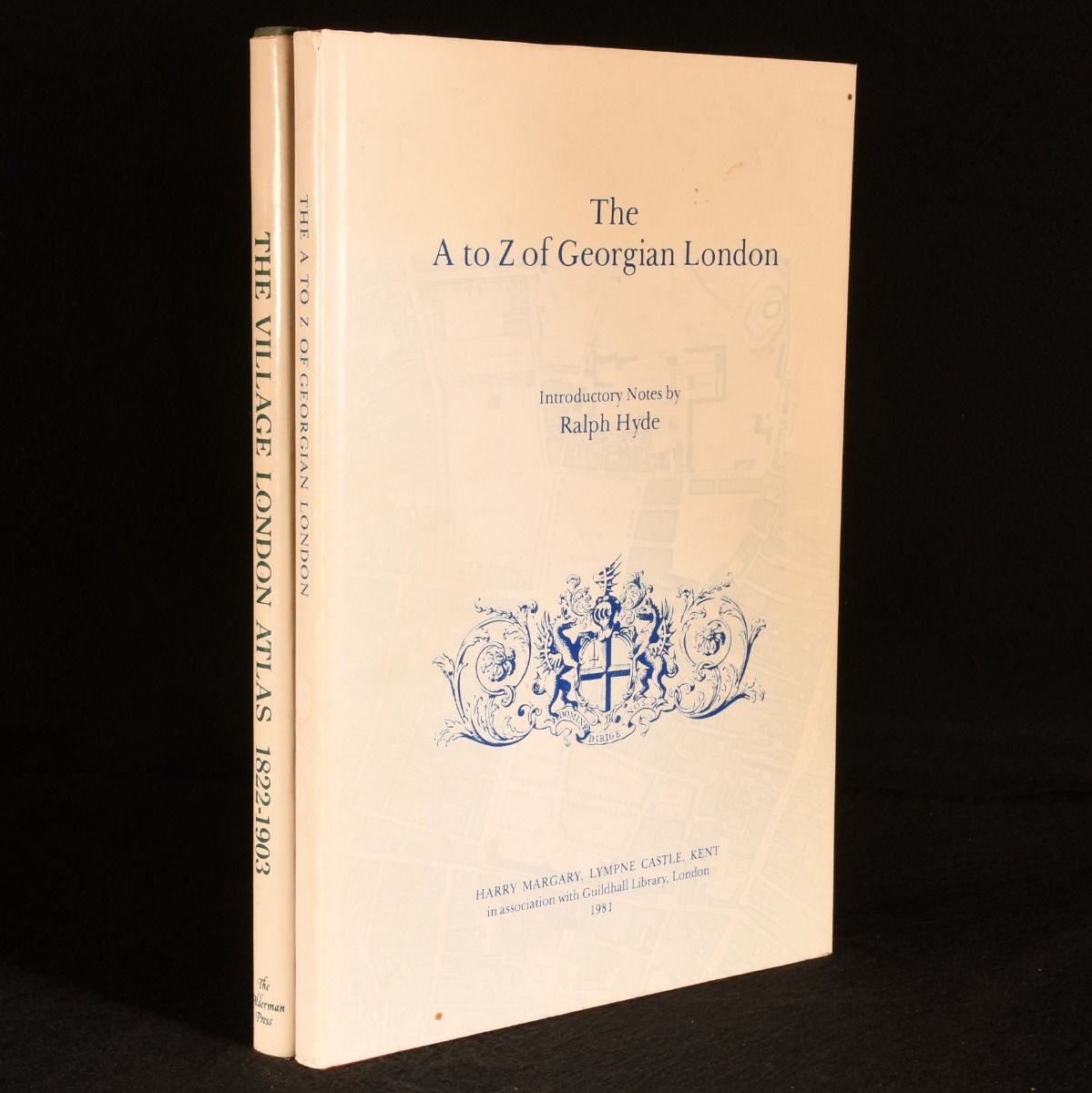
Ralph Hyde — The a to Z of Georgian London & the Village London Atlas: The Growth of Victorian London 1822-1903
London, Harry Margary in association with Guildhall Library; The Alderman Press, 1981. First edition. Cloth. Two volumes containing magnificent historical maps of London from the Georgian and Victorian periods. Two volumes. First edition. This set contains: The A to Z of Georgian London, 1981. Illustrated with twenty-four facsimile map sheets, the key map, and a reproduction of the original title page. Collated complete. A collection of twenty-four sheets of maps produced by French-born British cartographer John Rocque, which became the standard map of the Georgian period. With introductory notes about the making of the maps by Ralph Hyde. The Village London Atlas: The Growth of Victorian London 1822-1903, 1986. Illustrated with one hundred double-page maps. Collated complete. An exploration into the growth of London, dictated by the network of arterial roads built by the Romans and, much later, by the turnpike companies which radiated from the city. Providing a topographical history of the city of London and its massive expansion during the Victorian period. In the original full cloth binding. Externally, excellent. Original unclipped dust wrappers are very smart with light sunning and the odd mark. Internally, firmly bound. Pages are very bright and clean throughout. Fine . Ill.: Not Stated. Fine/Near Fine.