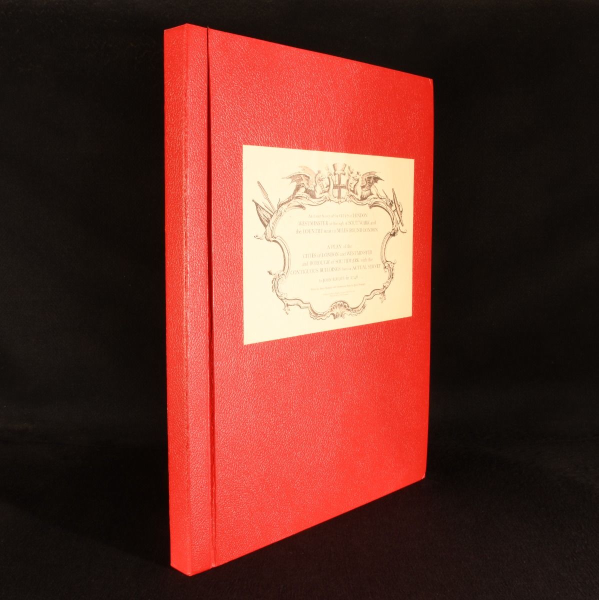
John Rocque; James Howgego [intro.] — An Exact Survey of the City&Apos;S of London Westminster Ye Borough of Southwark and the Country Near 10 Miles Round London
Kent and Chichester, Harry Margary; Phillimore & Co. Ltd. 1971 . Cloth. An fine example of the scarce facsimile edition of John Rocque's incredibly important eighteenth century map of London. The scarce 1971 facsimile of John Rocque"s 1746 map 'An Exact Survey of the City's of London Westminster ye Borough of Southwark' and his 1746 'A Plan of the Cities of London and Westminster and Borough of Southwark with the Contiguous Buildings from an Actual Survey&apos.Rocque, a French-born cartographer, created the survey over a ten-year period in collaboration with surveyor John Pine, and it remains one of the most significant cartographic records of pre-Victorian London.A plan of the cities of London and Westminster and Borough of Southwark with the Contiguous Buildings from an Actual Survey. The 'Exact Survey' in sixteen sheets to a scale of 5 1/2 inches to 1 mile, and the 'Plan of the Cities' in twenty-four sheets to a scale of 26 inches to 1 mile.Collated, complete. In the publisher's original cloth binding, with paper label to front board. Externally, fine. Light spotting to endpapers. Internally, firmly bound. Pages clean and bright. Fine . Ill.: John Rocque. Fine .