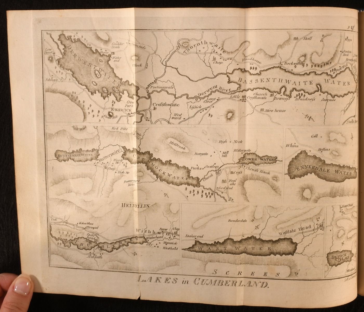
[John Housman] — A Topographical Description of Cumberland, Westmoreland, Lancashire and a Part of the West Riding of Yorkshire
[London], [Printed by Francis Jollie, and sold by C. Law, Ave-Maria-Lane, and W. Clarke], 1800. First edition. Cloth. A very scarce turn-of-the-19th-century topographical study of northern England, complete with folding maps. The very scarce first edition of this northern England topography from John Housman. Rebound in a navy cloth. Renewed endpapers. Lacking the title page, with bibliographical information obtained from numerous institutional copies. With a folding map frontispiece with outline hand-colouring, followed by twelve engraved plates, maps and plans, four of which are folding. Collated, complete. A celebration of the diverse landscapes found across Cumberland, Westmoreland, Lancashire and West Riding of Yorkshire, offering a descriptive tour of the soils, mountains, hills, minerals, agriculture, rivers and canals. John Housman's notes on the parishes of Cumberland were first published as footnotes in William Hutchinson's history of the county, published in 1794, Rebound in a navy cloth, with gilt to the spine. Externally, with only damp stains to the boards. Internally, firmly bound. Pages are generally bright and clean, with the occasional spot, typically more concentrated to the folding maps and plans. Contemporary ink inscription to reverse of last folding map. Loss caused by damp to the bottom corners of the rear endpapers, with tide mark lasting the few preceding leaves. Good . Ill.: Not Stated. Good .