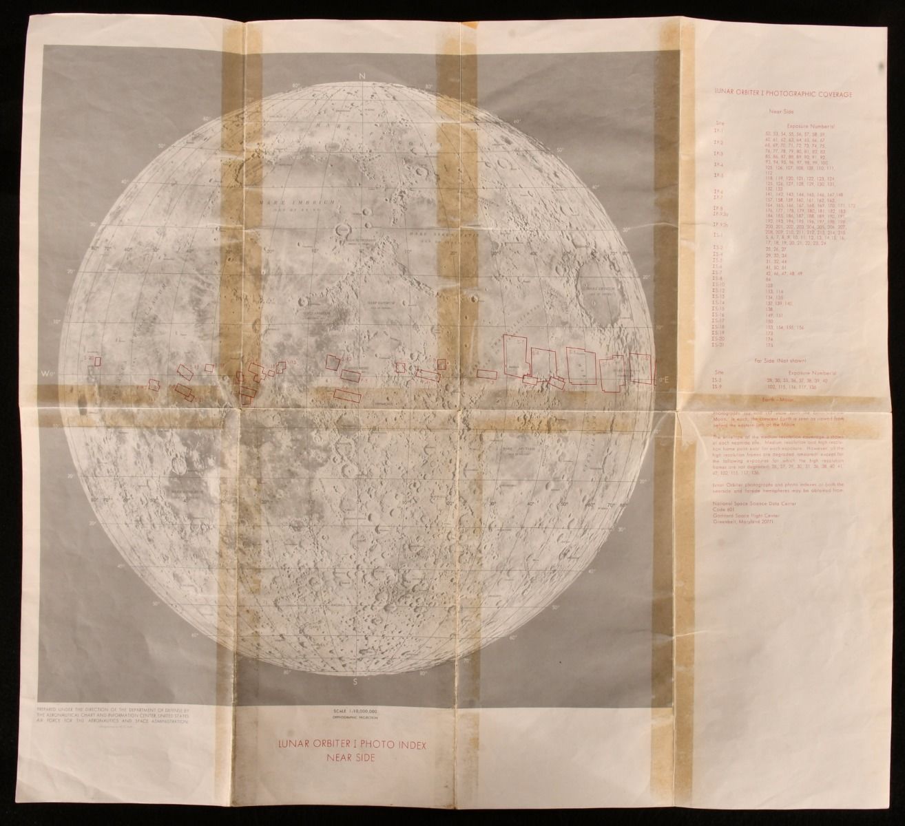
None — Lunar Orbiter Photo Index
United States, Aeronautical Chart and Information Centre; Aeronautics and Space Administration, 1969. Loose Pages, Articles. A very scarce collection of five maps showing the data of the Lunar Orbiter program, detailed maps of the moon surface taken ahead of the 1969 landing. A very scarce work.Five large folding map plates showing the data from the Lunar Orbiter program.The Lunar Orbiter program consisted of five spacecraft, which photographed 99% of the Moon's surface from 1966-1968. The program intended to get a better understanding of the moon ahead of the 1969 moon landing, finding suitable landing sites for Apollo. These five maps show the brilliant detail of the Lunar Orbiter photography, an exciting development at the time before man landed on the moon - these maps were printed and published in 1969.Unfolded the maps measure at 18" height by 20" width.Complete as five maps. Each map has tape to the folds to the reverse, resulting in offsetting to the maps. A few light spots to the maps. Only a very small amount of edge wear Very Good Indeed . Ill.: Not Stated. Very Good Indeed .