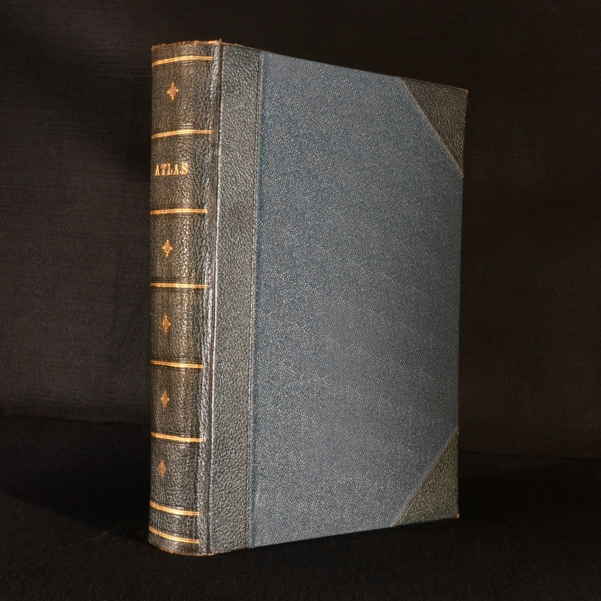
— Harmsworth Atlas and Gazetteer: 500 Maps in Colour, with Commercial Statistics and Gazetteer Index of 105,000 Names
London, Carmelite House [Amalgamated Press], c1910. First edition. Leather. The first edition of a charming atlas with numerous colour maps illustrating the globe before the First World War, an excellent source for historians. The first edition of The Harmsworth Atlas and Gazetteer, 500 Maps in Colour, with Commercial Statistics and Gazetteer Index of 105,000 Names. In half black crushed morocco, with blue cloth boards. Contains a colour frontispiece of British imperial flags, two colour plates of other flags of the world, and all two-hundred and ten colour maps across double-page spreads, and numerous in-text maps to the rear. Collated complete. Harmsworth's charming atlas is an excellent source for offering a visual portrait of the world before the First World War, including both topographical maps of Britain as well as charts and graphs illustrating global commerce. His Amalgamated Press was best known for publishing numerous children's encyclopedias of the era, and would become the largest publishing company in the world. In half black crushed morocco, with blue cloth boards. Externally, smart, with minimal rubbing and edgewear. A slight skew to rear joint. Minor browning to end papers. Bookseller's stamp to front pastedown. Internally, firmly bound. Pages are bright and clean. Near Fine . Ill.: Unknown. Near Fine .