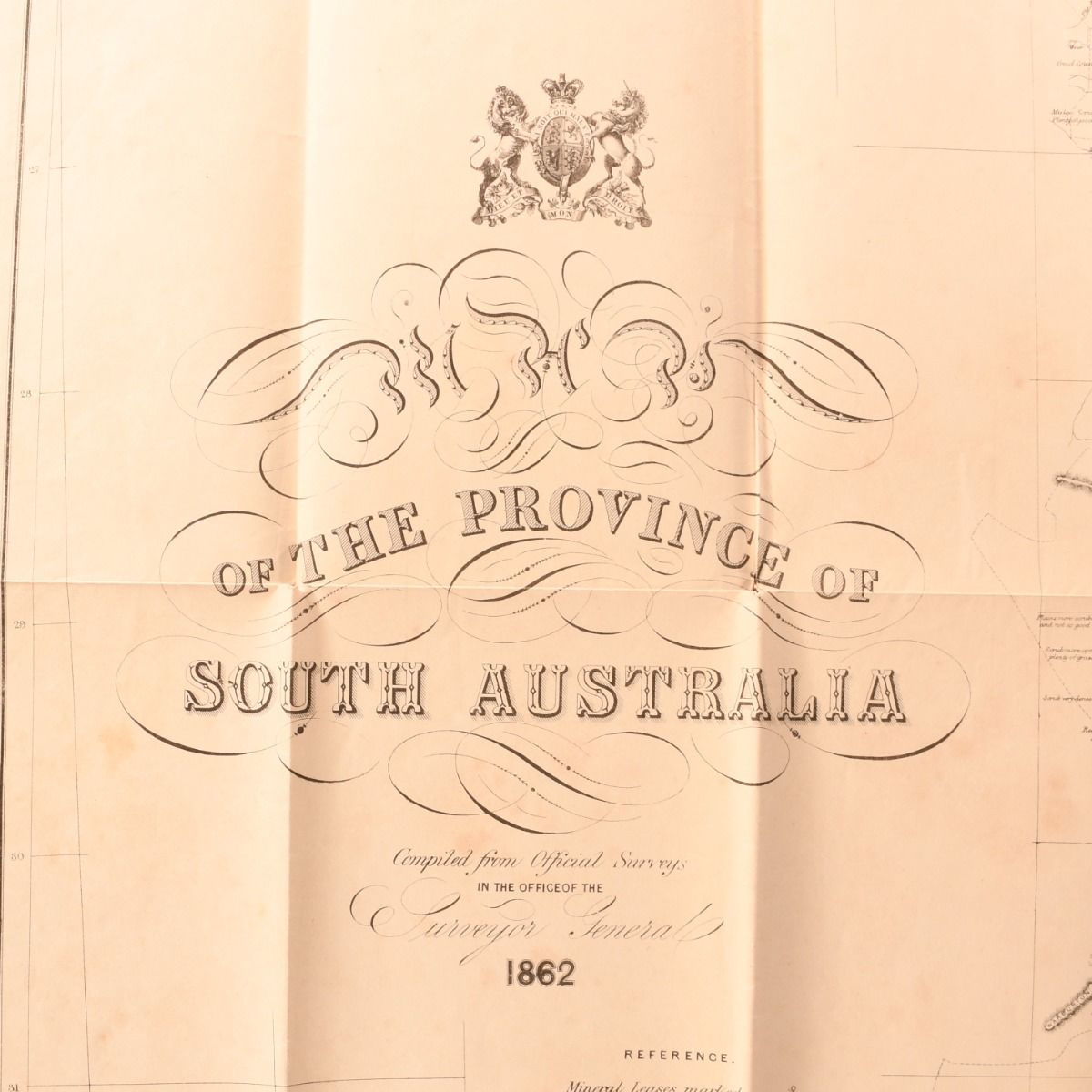
Office of the Surveyor General; W. G. Harris [Compiler] — Map of the Province of South Australia
London, R. K. Burt, 1862 . Disbound. A very scarce and very large folding map depicting the province of South Australia as is was in 1862, compiled from official surveys in the office of the Surveyor General. A large folding map of the Province of South Australia, 1862. Measuring 28" by 31".Compiled from Official Surveys in the office of the Surveyor General. Providing an impressive view of this region of Australia in the mid nineteenth century, covering areas including Lake Gairdner, Co. Frome, Nuyt's Archipelago, and much more. Compiled by W. G. Harris. With a large horizontal tear to the lower portion, an ideal candidate for restoration. Large folding map. Externally, the wrap is in two pieces due to a large horizontal tear across the lower portion. There are a few additional small closed tears to the folds and the odd small chip. Map is generally bright, with a few marks and spots. Good Only . Ill.: Not Stated. Good Only .