Charles Frederick Cliff — The Book of South Wales
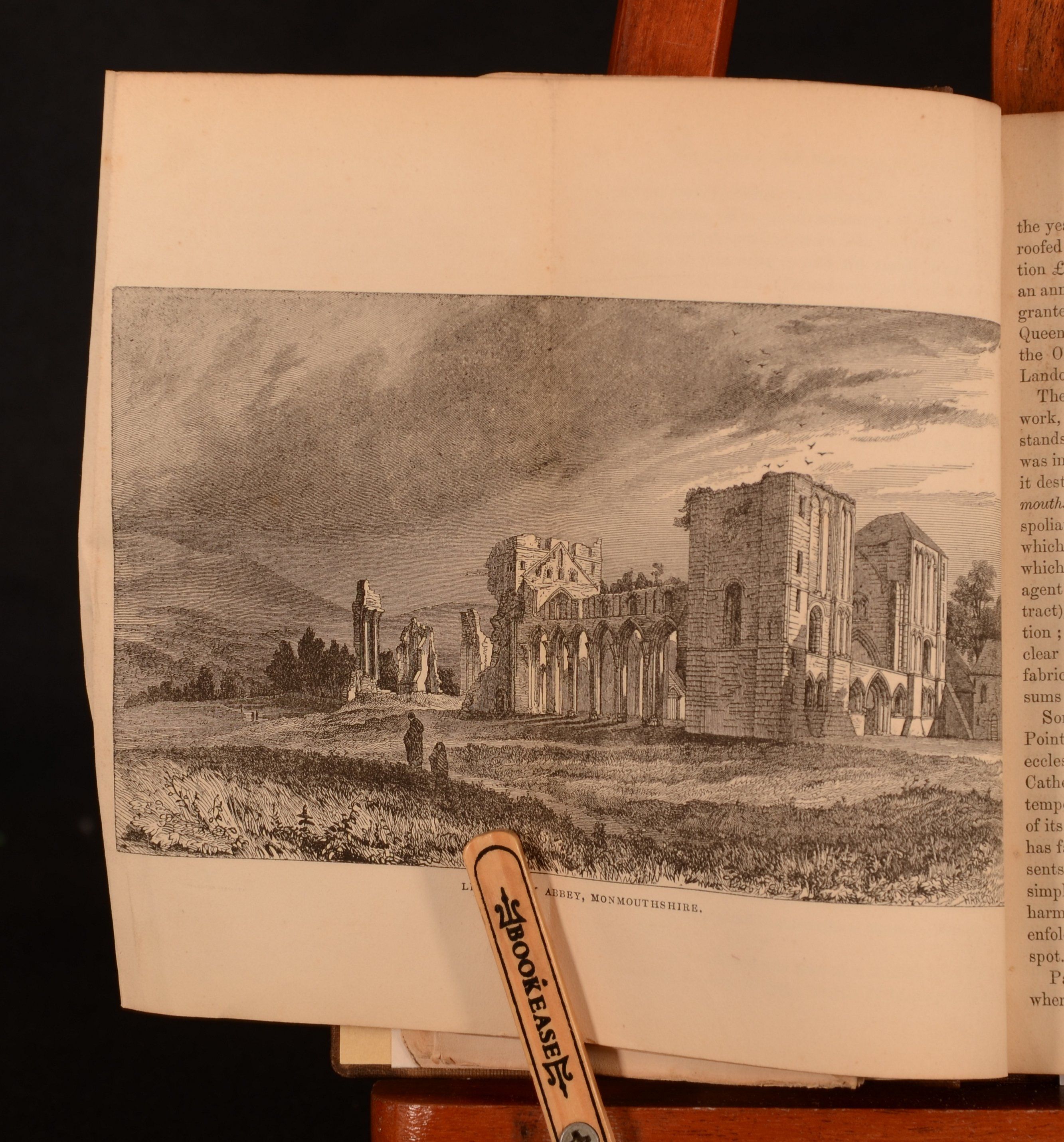
London, Hamilton, Adams, and Co, 1848. Cloth. A smart copy of this topographical study regarding south Wales, the Bristol channel, Monmouthshire and the Wye. Illustrated, with maps and engravings, this lovely work is a handy guide to this area of Britain. The second edition of this work, which has been enlarged. With a frontispiece of Tenby, a folding map of Monmouth, Glamorgan, Carmarthen and Pembroke, in addition to 31 further illustrations, some folding plates. Collated, complete. This topographical work was written by Charles Frederick Cliffe, who also penned a work on the North of Wales. This work looks at the iron trade of South Wales, the railway, a glossary of the Welsh language, rivers, and more. A truly fascinating guide to this area of Wales. In the publisher's original cloth binding. Imperceptibly rebacked, with the original spine laid on. Externally, very smart with light shelfwear to the spine and extremities. Small famp stain to the rear board. Prior owner's inscription to the recto of front endpaper, J Westcott 1853. Internally, firmly bound. Pages are generally bright. Tape repair to the rear of the large folding map. Occasional scattered spots to pages. Very Good . Ill.: None. Very Good .