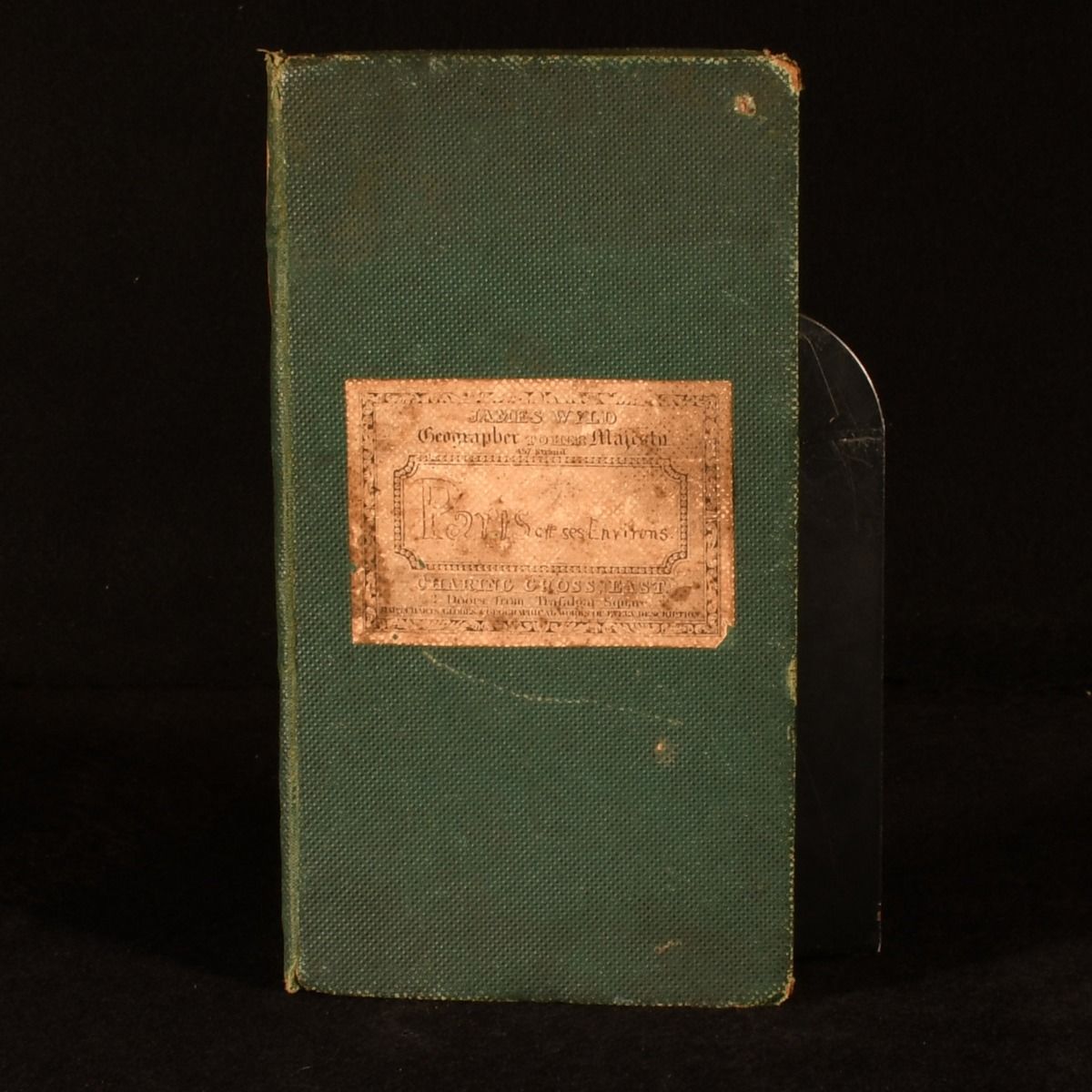
James Wyld — Environs de Paris de 130 Kiloms a la Ronde
Not Stated, Not Stated, 1855. Cloth. A very scarce folding map of the area surrounding Paris, rendered by James Wyld, Geographer to Queen Victoria. An extremely scarce folding map published in 1855, by James Wyld - Geographer to Queen Victoria and Prince Albert, who was appointed in 1839, and replaced his father in the role.Bound in the original green cloth, this work is decorated with marbled endpapers, and the sheets of the map are backed with linen.Features a pasted-in page of adverts for later maps by Wyld, including works published after the breakout of the Franco-Prussian War.Hand colouring to the folding map. Bound in original green cloth. Externally, slightly worn. Printed title label to spine mostly worn away. Title sticker to front board. Spotting to title sticker. Rubbing to extremities. Wear to head and tail. Small closed tears to joints. Occasional marks to boards. Marbled endpapers to internal spine significantly worn and chipped. Internally, firmly bound. Pasted page of later adverts to front free endpaper. Spotting to page of adverts. Spotting and age toning to linen. Hand colouring to map. Pages generally bright and clean, occasional spotting and age toning to map. Very Good . Ill.: James Wyld. Very Good .