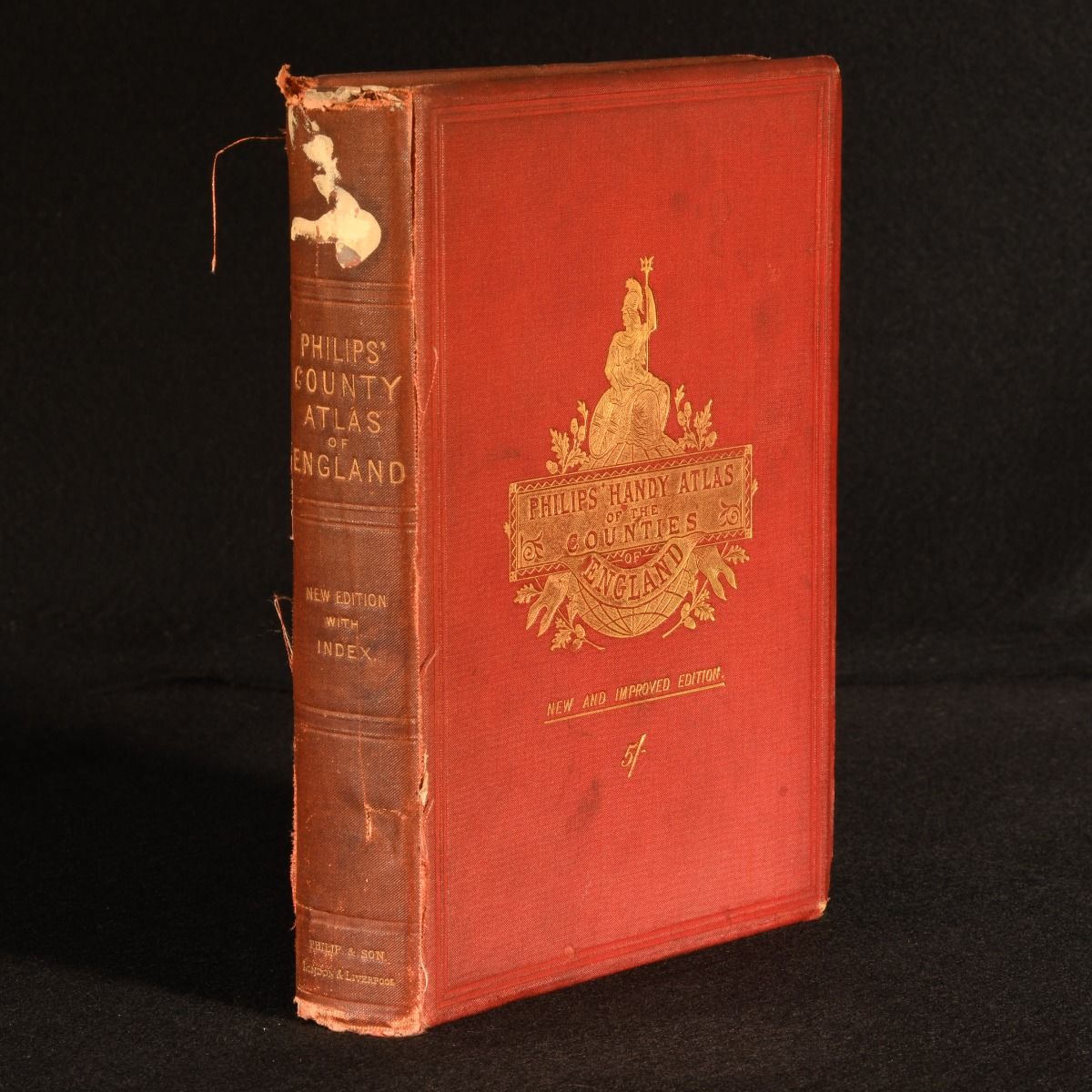
George Philip — Philips&Apos; Handy Atlas of the Counties of England
London, George Philip & Son, 1887. Cloth. A colourful atlas of the counties of England, a useful reference work. An atlas of the counties of England, including maps of Wales, the Channel Islands, and the Isle of Man.Illustrated with forty-five colour maps.The maps in this volume were reduced from the Ordnance Survey, and coloured to show parliamentary division according to the Redistribution Bill of 1885.By George Philip, a Scottish cartographer and map publisher. His publishing house ran independently for 140 years, before being sold in 1987.Collated, complete. In the original publisher's cloth binding. Externally, worn. Spine is discoloured. Minor bumping to the extremities bumping to the head and tail of the spine has resulted in a small amount of loss. light marks to the cloth. Torn label to the head of the spine. Front joint and hinge are tender. Fraying of cloth and a couple of tears to the rear joint. Rear hinge is starting but firm. Internally, firmly bound. Pages are bright and generally clean with scattered spots. Tape repairs to map 12. Tear to the tail of map 17. Good Only . Ill.: Not Stated. Good Only .