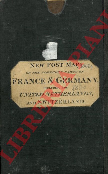
- — Map of the northern parts of France and Germany inclusing the whole of the United Netherlands and Switzerland. Particularly distinguishing the different travelling roads and the Post Stations with the number of Posts between each station.
London, C. Smith, 1825, carta telata e stampata a colori, con custodia in cartone rigido originale con etichetta all'esterno, cm. 143 x 45. Scala "60 in a degree", Italian and Geographical Miles.
Machine translation by Google. The original description of the seller is leading.
Log in or create an account to translate descriptions. Accedi
Numero libro:
3-36692
€300.00 ($329.06 | £251.43 | ¥52,189)