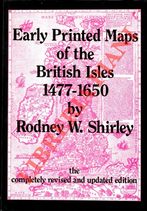
SHIRLEY Rodney W. - — Early Printed Maps of the British Isles 1477-1650.
Sovraccoperta
England, Antique Atlas Publications, 1991, 4to (cm. 30,5 x 21,5) legatura tutta tela con titoli dorati al piatto anteriore e al dorso e sovraccopertina illustrata a colori, pp. XX-233 con 160 carte nel testo.
Machine translation by Google. The original description of the seller is leading.
Log in or create an account to translate descriptions. Accedi
Numero libro:
2-74694
€96.00 ($105.34 | £80.11 | ¥16,787)