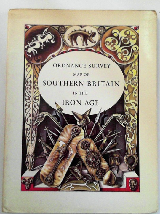
— Map of Southern Britain in the Iron Age (scale 1:625,000, about 10 miles to one inch)
Ordnance Survey, 1967. Used - Very Good. Reprint with minor changes, 1967. 55pp booklet + folding map in card folder. Slight browning to cover Photo:http://cibimages.blob.core.windows.net/img-1/orig_104387_jpg.jpg.
Machine translation by Google. The original description of the seller is leading.
Log in or create an account to translate descriptions. Accedi
Numero libro:
BOOKS326207I
£6.00 (€7.16 | $7.86 | ¥1,248)