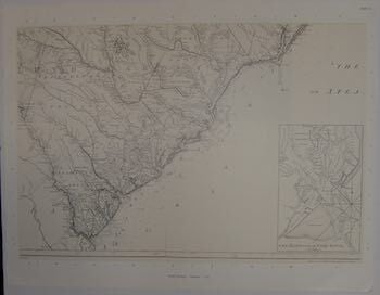
Henry Mouzon — An Accurate Map of North and South Carolina with Their Indian Frontiers, Shewing in a Distinct Manner All the Mountains, Rivers, Swamps, Marshes, Bays, Creeks, Harbours, Sandbanks and Soundings on the Coasts; with the Roads and Indian Paths; As Well As the Boundary or Provincial Lines, the Several Townships and Other Divisions of the Land in Both the Provinces
Washington DC, United States: US Government Printing Office, 1972. 46 x 59 cm B/W Print. Reproduction of late 18th c navigation map from William Faden's The North American Atlas, 1777. Map truncated; full map shown in miniature on obverse. Very Good; vertical crease from folding along middle. .
Machine translation by Google. The original description of the seller is leading.
Log in or create an account to translate descriptions. Accedi
Numero libro:
69-8846
$100.00 (€91.04 | £76.24 | ¥15,921)