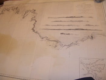
Ducos, Theodore (dir) — Carte de la Cote de Caramanie, 1850
Paris, France: Service Hydrographique De La Marine, 1917. Rolled B&W Map. 73.66 x 104.14 cm. (29" x 41"). Good with tears, some staining, minor losses. En Francais. Scarce. .
Machine translation by Google. The original description of the seller is leading.
Log in or create an account to translate descriptions. Accedi
Numero libro:
68-8514
$75.00 (€68.32 | £56.90 | ¥11,947)