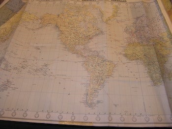
Blondel La Rougery — Carte Blondel Planisphere Politique Et Routes Aeriennes
Paris, France: Blondel La Rougery, 1956. Rolled Color Map. 99 x 63.5 cm. (39" x 25"). Good with tiny tears at edges. En Francais. .
Machine translation by Google. The original description of the seller is leading.
Log in or create an account to translate descriptions. Accedi
Numero libro:
68-8509
$75.00 (€68.37 | £57.27 | ¥11,912)