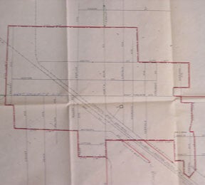
Southern Pacific Lines (San Francisco, Calif.) — Map of Manteca, San Joaquin County, California. Present and Proposed Delivery Limits
Sacramento, Calif.: Southern Pacific Company, 1952. Map. Blueline print 24" x 34" with red highlighting. From Durham Ferry Rd to Austin Rd, and County Road 01-159 to 0.7 mile south of City Limit. Including Western Pacific and Southern Pacific Railroad Lines, and Highway Route 99. Not drawn to scale. .
Machine translation by Google. The original description of the seller is leading.
Log in or create an account to translate descriptions. Accedi
Numero libro:
56-0262
$250.00 (€227.90 | £190.22 | ¥39,899)