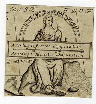
Wells, Edward (1667-1727) — Cartouche for Asia . . Scale of English Miles: According to Picart's Computation, According to Ricciolus's Computation
Prima edizione
Firmato
Oxford: circa 1700. Engraved cartouche only. 8.4 x 8 cm. This is a map of Asia covering the Mediterranean Sea in the west to the Pacific Ocean in the east. The map was designed as a teaching aid for Edward Well's lectures at Oxford University. Wells produced a lavish school atlas on the occasion of William Duke of Glouchester's schooling at Oxford. From the collection of Hon. Gerald Henry Brabazon Ponsonby (1829-1908), Private secretary to the Lord-Lieutenant of Ireland; son of 4th Earl of Bessborough. .
Machine translation by Google. The original description of the seller is leading.
Log in or create an account to translate descriptions. Accedi
Numero libro:
51-3067
$50.00 (€45.58 | £38.22 | ¥7,928)