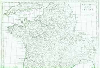
Rapin de Thoyras, Paul; Basire — A New and Correct Map of France. (18th Century Map of Central Europe)
[London]: James & Paul Knapton, [1745]. 15 x 18 inches. Very Good. Copper engraving. 18th Century, uncolored, folded map of France showing the Channel and a part of English coast. Title cartouche in top right. Text above the title cartouche saying: 'To be placed at the end of Rapin's Hist. Vol.1.' The map was drawn & engraved by Basire for "The History of England" Written in French by Mr. Rapin de Thoyras. Scarce. .
Machine translation by Google. The original description of the seller is leading.
Log in or create an account to translate descriptions. Accedi
Numero libro:
18-0861
$75.00 (€68.37 | £57.33 | ¥11,891)