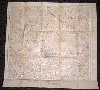
U.S. Geological Survey — Map of the Warm Springs Creek Mining District and Adjoining Parts of Alta and Little Wood River Mining Districts, Showing Principal Claims
Washington, D.C.: U.S. Geological Survey, 1930. Bulletin 814, Plate 10. From Hailey Quadrangle, surveyed 1894-95. Map measuring 23 x 25 inches when unfolded. Near fine. .
Machine translation by Google. The original description of the seller is leading.
Log in or create an account to translate descriptions. Accedi
Numero libro:
12-0026
$100.00 (€91.16 | £76.36 | ¥15,883)