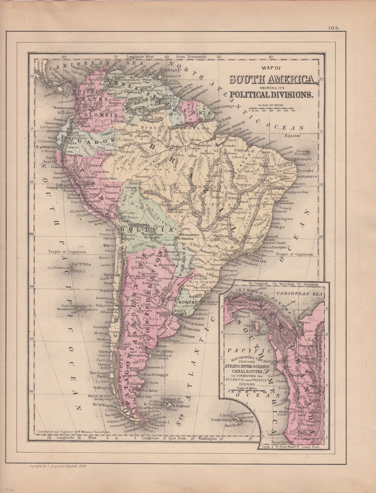
Mitchell, S. Augustus, Jr. — Map of South America, Showing Its Political Divisions [with Inset] Map Showing the Proposed Atrato-Inter-Oceanic Canal Routes for Connecting the Atlantic and Pacific Oceans [Verso with] Map of New Granada, Venezuela and Guiana [and] Map of Peru, and Equador [and] Map of the Argentine Confederation
Philadelphia, W.M. Bradley, 1886. Hand colored map. Plate 103: Map of South America, Showing Its Political Divisions, with inset of Map Showing the Proposed Atrato-Inter-Oceanic Canal Routes for Connecting the Atlantic and Pacific Oceans. Constructed & Engraved by W. Williams, Philadelphia. Copyright by S. Augustus Mitchell 1884. 12 x 9.25 inches. [On verso] Plate 104: Map of New Granada, Venezuela and Guiana (with) Map of Peru, and Equador (with) Map of the Argentine Confederation. Copyright by S. Augustus Mitchell 1884. 14 x 10.5 inches. From: Mitchell's New General Atlas, Containing Maps Of The Various Countries Of The World, Plans Of Cities, Etc. Embraced In Ninety-Three Quarto Maps, Forming A Series Of One Hundred and Forty-seven Maps and Plans, Together With Valuable Statistical Tables. Also, A List Of Post-Offices Of The United States And Territories, And Also Census Of 1880 For States, Territories And Counties, Also Of Cities Of Over 10,000 Inhabitants. Philadelphia: Published By Wm. M. Bradley & Bro. No. 1026 Arch Street. 1886. Very good, light browning and soiling, mostly to margins.