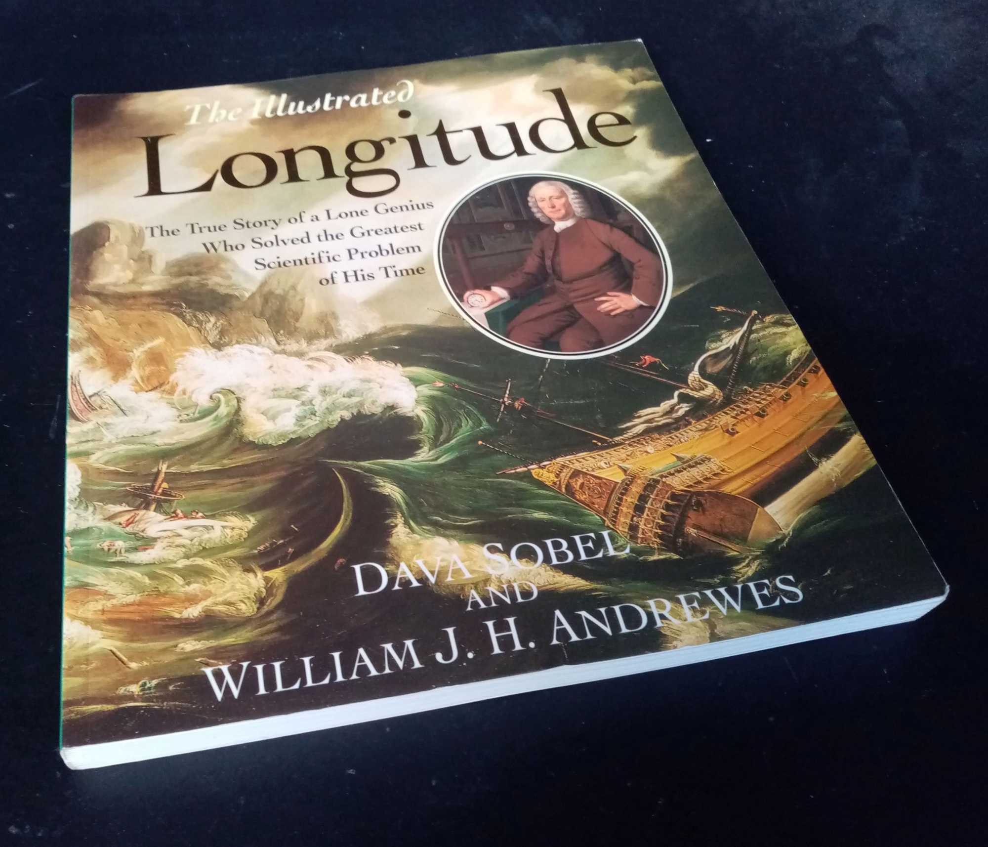
Sobel, Dava; Andrews, William J. H. — The Illustrated Longitude
Fourth Estate, 1998. 1st Edition, Softcover. Very Good/No Dust Jacket. 9781857027143 Firmly bound, clean unmarked pages, feint written price indent on top corner of front cover. The Illustrated Longitude is a fascinating history of astronomy, navigation and clockmaking. Lavishly produced with over 200 illustrations, The Illustrated Longitude has much new material to help the reader learn more of John Harrison's extraordinary story and his times. There are biographical articles on all the major characters added; boxed information on the important scientific, nautical, historical and artistic background to the extraordinary story, time lines, and diagrams to explain the geography, horology and astrology of the Longitude problem. 216 pages. Quantity Available: 1. Shipped Weight: 1-2 kilos. Category: Geography & Maps; ISBN: 1857027140. ISBN/EAN: 9781857027143. Inventory No: dscf11676.