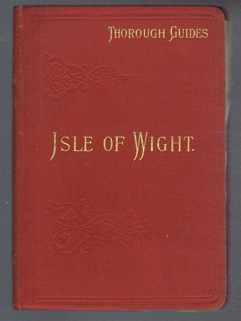
C S Ward — The Isle of Wight with Notes for Geologists and Cyclists. Through Guide Series
Dulau & Co. London, 1906. New Edition, Revised, Hardcover, Illustrated by: Maps & Plans by Bartholomew. Very Good Condition/No Dust Jacket. Clean red covers with blind printing and gilt lettering. Rounded corners, marbled block edges, sound binding, clean end-papers, pages and fold-out maps. Publisher's correction slip bound in at the front, Through Guide Advertiser - advertisements on blue paper are bound in at rear, also Advertisement for Bartholomew's Maps Maps are: Index Map (inside cover); Ryde; Cowes, Ryde, Bembridge, Sandown and Newport; Ventnor and Bonchurch; Sandown, Shanklin, Ventnor and Brightstone; Freshwater, Newport and Cowes; Cowes, Newport and Blackgang; General Map showing cyclist routes and steep hills. No dust-jacket. Illustrator: Maps & Plans by Bartholomew. Quantity Available: 1. Shipped Weight: under 1 kg. Pictures of this item not already displayed here available upon request. Inventory No: 53717021041. ISBN: 0901388580