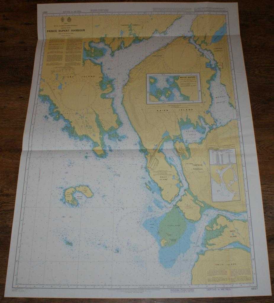
Admiralty — Nautical Chart No. 4937 Canada - British Columbia, Chatham Sound, Prince Rupert Harbour
Map Admiralty, 2005. Revised Edition, Softcover. Very Good Condition/No Dust Jacket. Crisp and clean colour chart with single vertical and two horizontal folds. Nautical Chart No. 4937 Canada - British Columbia, Chatham Sound, Prince Rupert Harbour. Published 2005. Scale 1:20,000. Sheet contains inset plan of Butze Rapids at scale 1:5,000. Area Covered: North America (part), Kaien Island, Prince Rupert, Tsimpsean Peninsula, Watson Island, Ridley Island, Digby Island, Lelu Island, Kinahan Islands, Smith Island. Chatham Sound, Delusion Bay, Fern Passage, Morse Basin, Wainwright Basin, Porpoise Harbour, Inverness Passage. Size: 119x84. Item Type: Map. Single sheet map/chart which is suitable for framing and will be shipped rolled and in a cardboard tube. Quantity Available: 1. Shipped Weight: under 1 kg. Pictures of this item not already displayed here available upon request. Inventory No: 45517104070. ISBN: 1870141156