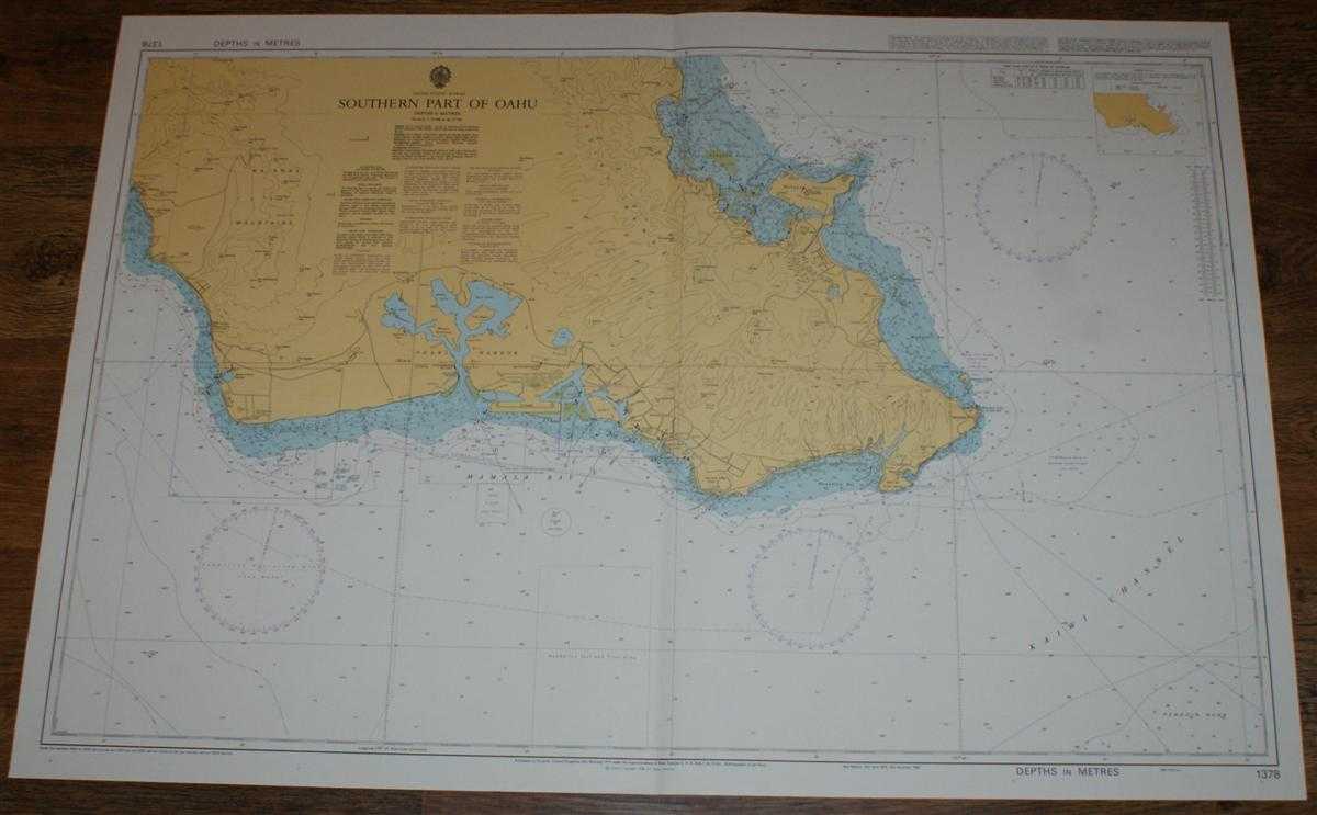
Admiralty — Nautical Chart No. 1378 United States - Hawaii, Southern Part of Oahu including Pearl Harbour
Map Admiralty, 2004. Revised Edition, Softcover. Very Good Condition/No Dust Jacket. Crisp and clean colour chart with single vertical fold. Some minor faint pencil marks. Nautical Chart No. 1378 United States - Hawaii, Southern Part of Oahu. Copyright 1998 with small corrections to 2004. Scale 1:75,000. Area Covered: Hawaii (part), Oahu (part), Waianae Mountains, Ewa, Pearl Harbour, Waipahu, Pearl City, Sand Island, Honolulu, Mamala Bay, Maunalua Bay, Waimanalo Bay, Kailua, Mokapu Peninsula, Koolau Range. Size: 72x104cm. Item Type: Map. Single sheet map/chart which is suitable for framing and will be shipped rolled and in a cardboard tube. Quantity Available: 1. Shipped Weight: under 1 kg. Pictures of this item not already displayed here available upon request. Inventory No: 45517104062. ISBN: 1870141156