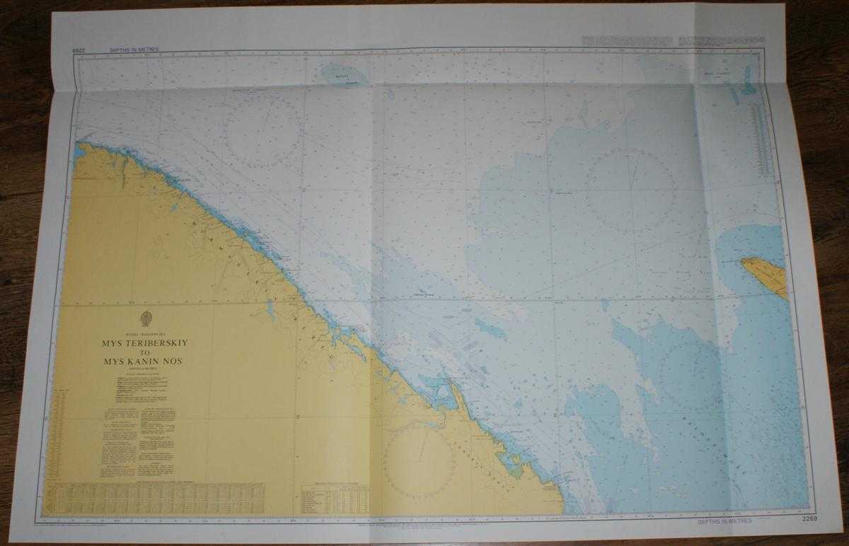
Admiralty — Nautical Chart No. 2269 Russia - Barents Sea, Mys Teriberskiy to Mys Kanin Nos
Admiralty, 2005. Revised Edition, Softcover. Very Good Condition/No Dust Jacket. Crisp and clean colour chart with two vertical folds and one horizontal fold. Nautical Chart No. 2269 Russia - Barents Sea, Mys Teriberskiy to Mys Kanin Nos. Copyright 1997 with small corrections to 2005. Scale 1:300,000. Area Covered: Russia (part), Murmanskiy Bereg, Terskiy Bereg, Mys Teriberskiy, Mys Dernistyy, O. Kharlov, Mys Chernyy, Mys Svyatoy Nos, Svyatonosskiy Poluostrov, O. Lumbovskiy, Poluostrov Kanin. Barents Sea (part), White Sea or Beloye More (part), Kanin Current, Murmansk Current. Size: 84x119cm. Single sheet map/chart which is suitable for framing and will be shipped rolled and in a cardboard tube.. Quantity Available: 1. Shipped Weight: under 1 kg. Pictures of this item not already displayed here available upon request. Inventory No: 45517074043. ISBN: 0304355410