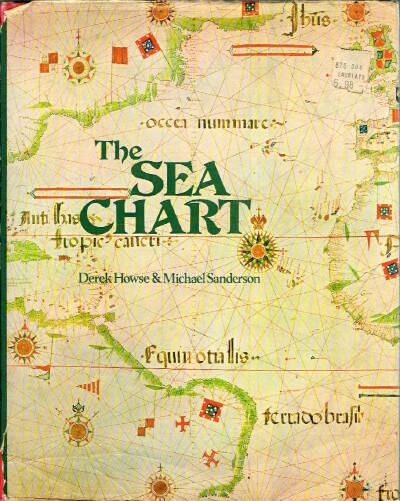
HOWSE DEREK, M. SANDERSON — The Sea Chart an Historical Survey Based on the Collections in the National Maritime Museum
Prima edizione
Sovraccoperta
New York: Mcgraw Hill, 1973. First Edition. 1. . Maps and charts. 4to 11" - 13" tall. 144 pp. Very Good+ in Very Good dust jacket .
Machine translation by Google. The original description of the seller is leading.
Log in or create an account to translate descriptions. Accedi
Numero libro:
15505
$70.00 (€63.81 | £53.26 | ¥11,172)