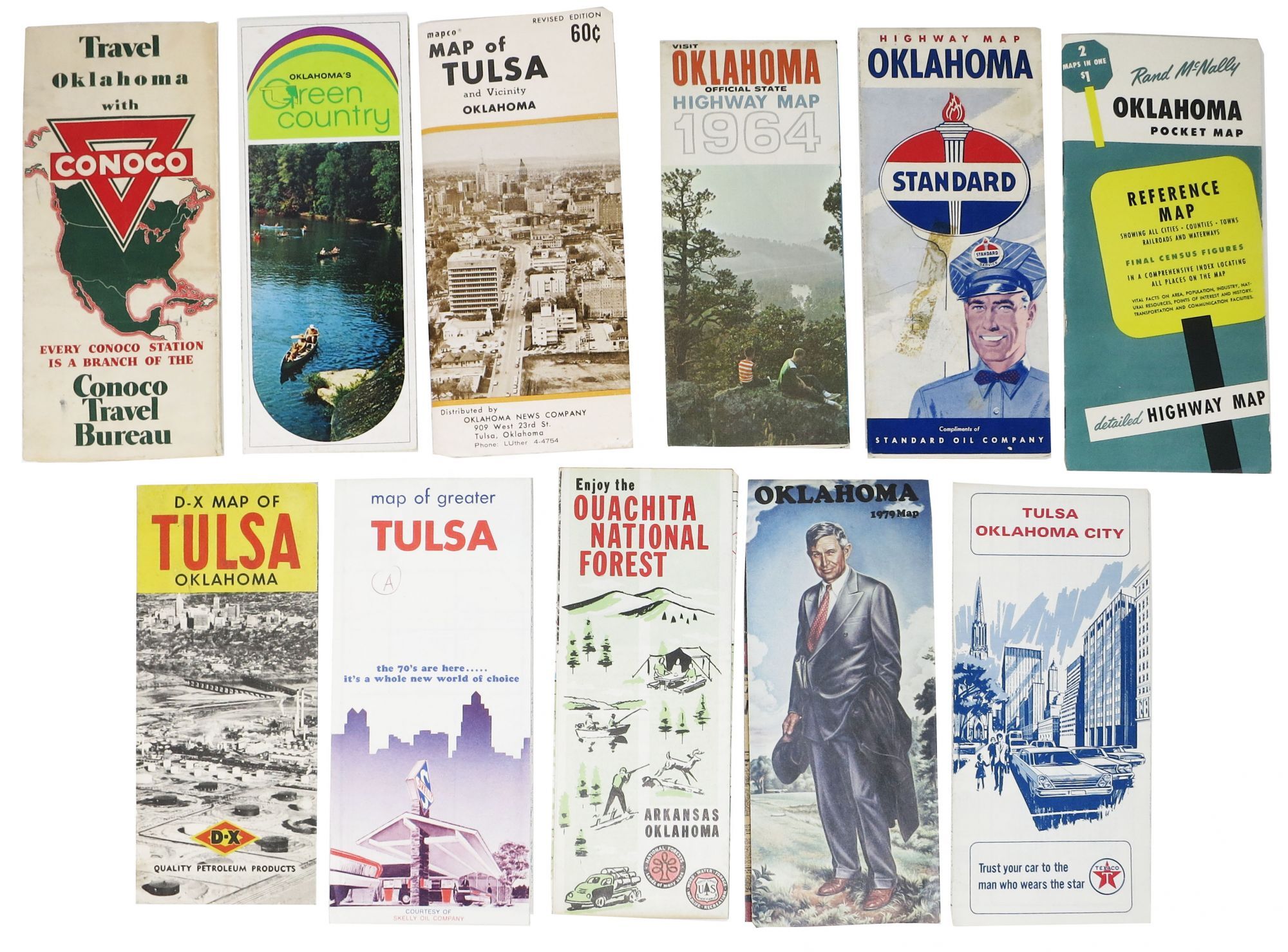
[Travel] — LOT Of OKLAHOMA ROAD, HIGHWAY And AREA MAPS. 1940s - 1979
: , 1979. Printed paper. 16 individual titles, some duplicates; 25 maps total. Sizes vary. ~9" x 4" folded; on average ~18" x 24" opened. Occasional light soil and edgewear to exterior panels; few scattered slight separations at folds; evidence of tape removal to front panel of one map; horizontal crease to one map. Some ink and pencil markings to blank verso or guide, not affecting maps. Overall, in VG condition or better. Maps include: - TRAVEL OKLAHOMA With CONOCO. [Oklahoma State Highway Map]. Ca. 1965. - OKLAHOMA'S GREEN COUNTRY. Ca 1979. - ENJOY OKLAHOMA. Official Oklahoma State Highway Map. 1961. (2 copies) - VISIT OKLAHOMA. Official State Highway Map. 1964. - STANDARD OIL COMPANY OKLAHOMA HIGHWAY MAP. Ca 1960s. - DIAMOND ROAD MAP. Oklahoma and United States. Ca 1940s. (4 copies) - OKLAHOMA OFFICIAL STATE TRANSPORTATION MAP. 1979. - ENJOY The OUACHITA NATIONAL FOREST. Arkansas. Oklahoma. Ca. 1970. - RAND MCNALLY OKLAHOMA POCKET MAP. Reference Map; Highway Map. Plus 28 pp guide. 1952. - PHILLIPS PETROLEUM COMPANY OKLAHOMA HIGHWAY MAP. Ca. 1960s. (2 copies) - OKLAHOMA OFFICIAL STATE HIGHWAY MAP. 1965. (3 copies). - TEXACO TULSA And OKLAHOMA CITY STREET MAP. 1967. - TULSA CITY MAP. Compliments of National Bank of Tulsa. 1955. (3 copies) - Mapco MAP Of TULSA And VICINITY. Oklahoma. Revised edition. [1956]. - MAP Of GREATER TULSA. Skelly Oil Company. Ca. 1970. - D-X MAP Of TULSA OKLAHOMA. D-X Quality Petroleum Products. 1948.