
Wittenborn Art Books
Libri
41435 libri di Wittenborn Art Books
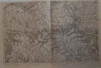
Diedenbofen, Metz. Series: Carte de L'Empire D'Allemagne
[20th Century French Cartographer] · 1900
$150.00 (€136.71 | £114.66 | ¥23,784)
[Paris], France: [20th Century French Publisher], [ca 1900]. Map. 57 x 74 cm. Very Good. Scale: 1:80,000. On verso, number in black: 18, 1. Text in French. .
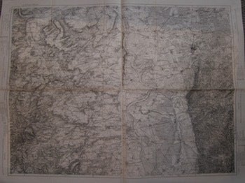
Mainz, Kirchheimbolanden, Worms, Darmstadt. Series: Carte de L'Empire D'Allemagne
[20th Century French Cartographer] · 1900
$150.00 (€136.71 | £114.66 | ¥23,784)
[Paris], France: [20th Century French Publisher], [ca 1900]. Map. 74 x 92 cm. Very Good. Scale: 1:80,000. On verso, number in black: 16. Text in French. .
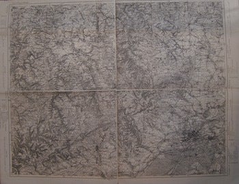
Lindburg, Friedberg, Wiesbaden, Frankfurt. Series: Carte de L'Empire D'Allemagne
[20th Century French Cartographer] · 1900
$150.00 (€136.71 | £114.66 | ¥23,784)
[Paris], France: [20th Century French Publisher], [ca 1900]. Map. 74 x 92 cm. Very Good. Scale: 1:80,000. On verso, number in black: 11. Text in French. .
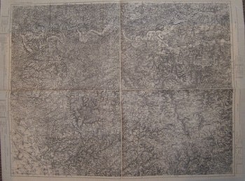
Elberfeld, Iserlohn, Solingern, Ludenscheid. Series: Carte de L'Empire D'Allemagne
[20th Century French Cartographer] · 1900
$150.00 (€136.71 | £114.66 | ¥23,784)
[Paris], France: [20th Century French Publisher], [ca 1900]. Map. 74 x 92 cm. Very Good. Scale: 1:80,000. On verso, number in black: 3. Text in French. .
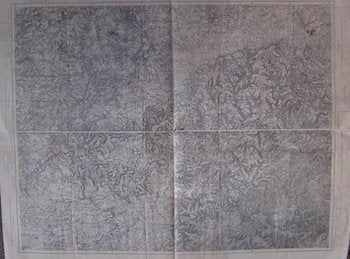
Pirmasens, Kaiserlauten, St. Wendel, Saarbrucken. Series: Carte de L'Empire D'Allemagne
[20th Century French Cartographer] · 1900
$150.00 (€136.71 | £114.66 | ¥23,784)
[Paris], France: [20th Century French Publisher], [ca 1900]. Map. 74 x 92 cm. Very Good. Scale: 1:80,000. On verso, number in red: 19. Text in French. .
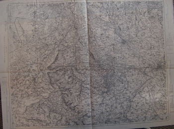
Kaldenkirchen, Erhelenz, Dusseldorf, Krefeld. Series: Carte de L'Empire D'Allemagne
[20th Century French Cartographer] · 1900
$150.00 (€136.71 | £114.66 | ¥23,784)
[Paris], France: [20th Century French Publisher], [ca 1900]. Map. 74 x 92 cm. Very Good. Scale: 1:80,000. On verso, number in red: 2. Text in French. .
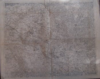
Cleve, Geldern, Wesel, Bochoh. Series: Carte de L'Empire D'Allemagne
[20th Century French Cartographer] · 1900
$150.00 (€136.71 | £114.66 | ¥23,784)
[Paris], France: [20th Century French Publisher], [ca 1900]. Map. 74 x 92 cm. Very Good. Scale: 1:80,000. On verso, number in red: 1. Text in French. .
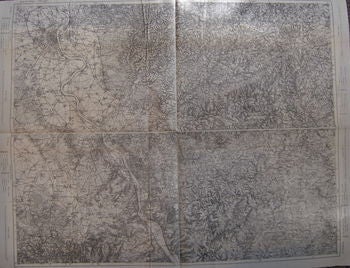
Altenkirchen, Waldbrol, Koln, Bonn. Series: Carte de L'Empire D'Allemagne
[20th Century French Cartographer] · 1900
$150.00 (€136.71 | £114.66 | ¥23,784)
[Paris], France: [20th Century French Publisher], [ca 1900]. Map. 74 x 92 cm. Very Good. Scale: 1:80,000. On verso, number in red: 6. Text in French. .
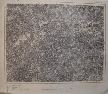
Allendorn. Series: Carte de L'Empire D'Allemagne
[20th Century French Cartographer] · 1900
$100.00 (€91.14 | £76.44 | ¥15,856)
[Paris], France: [20th Century French Publisher], [ca 1900]. Map. 42 x 50 cm. Very Good. Scale: 1:80,000. On verso, number in red: 4. Text in French. .
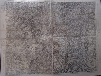
Schluchtern, Orb, Budigen, Hanau. Series: Carte de L'Empire D'Allemagne
[20th Century French Cartographer] · 1900
$150.00 (€136.71 | £114.66 | ¥23,784)
[Paris], France: [20th Century French Publisher], [ca 1900]. Map. 74 x 92 cm. Very Good. Scale: 1:80,000. On verso, number in red: 12. Text in French. .
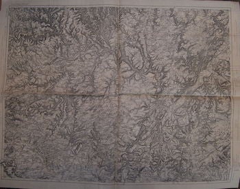
Mettendorf, Ewirngen, Saarburg,Trier. Series: Carte de L'Empire D'Allemagne
[20th Century French Cartographer] · 1900
$150.00 (€136.71 | £114.66 | ¥23,784)
[Paris], France: [20th Century French Publisher], [ca 1900]. Map. 74 x 92 cm. Very Good. Scale: 1:80,000. On verso, number in red: 14. Text in French. .
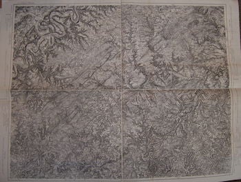
Berncastel, Birkenfeld, Kasel, Simmern. Series: Carte de L'Empire D'Allemagne
[20th Century French Cartographer] · 1900
$150.00 (€136.71 | £114.66 | ¥23,784)
[Paris], France: [20th Century French Publisher], [ca 1900]. Map. 74 x 92 cm. Very Good. Scale: 1:80,000. On verso, number in red: 15. Text in French. .
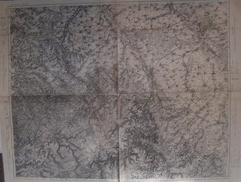
Euskirchen, Düren, Aachen, Eupen. Series: Carte de L'Empire D'Allemagne
[20th Century French Cartographer] · 1900
$150.00 (€136.71 | £114.66 | ¥23,784)
[Paris], France: [20th Century French Publisher], [ca 1900]. Map. 74 x 92 cm. Very Good. Scale: 1:80,000. On verso, number in red: 5. Text in French. .
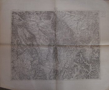
Glatz (Schweidnitz). Series: Allemange
[20th Century French Cartographer] · 1900
$150.00 (€136.71 | £114.66 | ¥23,784)
[Paris], France: [20th Century French Publisher], [ca 1900]. Map. 74 x 92 cm. Very Good. Scale: 1: 1000,000. Text in French. .
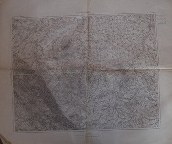
Schweidnitz (Breslau). Series: Allemange
[20th Century French Cartographer] · 1900
$150.00 (€136.71 | £114.66 | ¥23,784)
[Paris], France: [20th Century French Publisher], [ca 1900]. Map. 74 x 92 cm. Very Good, some tearing at edges. Scale: 1: 1000,000. Text in French. .
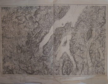
Uberlingen, Konstanz. Series: Carte de L'Empire D'Allemagne
[20th Century French Cartographer] · 1900
$150.00 (€136.71 | £114.66 | ¥23,784)
[Paris], France: [20th Century French Publisher], [ca 1900]. Map. 57 x 74 cm. Very Good. Scale: 1:80,000. On verso, number in red: 30. Text in French. .
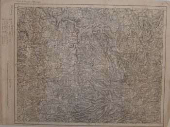
Grünberg. Series: Carte de L'Empire D'Allemagne
[20th Century French Cartographer] · 1900
$100.00 (€91.14 | £76.44 | ¥15,856)
[Paris], France: [20th Century French Publisher], [ca 1900]. Map. 39 x 54 cm. Very Good. Scale: 1:80,000. On verso, number in red: 8. Text in French. .
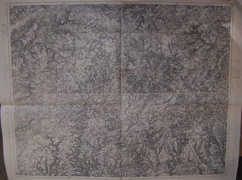
Malmedy, Neuerburg, Pram, Hillesheim. Series: Carte de L'Empire D'Allemagne
[20th Century French Cartographer] · 1900
$150.00 (€136.71 | £114.66 | ¥23,784)
[Paris], France: [20th Century French Publisher], [ca 1900]. Folded Map. 76x97 cm. Very Good. Scale: 1:80,000. On verso, number in red: 9. Text in French. .
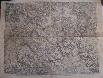
Boppard, Coblentz, Mayon, Cochem. Series: Carte de L'Empire D'Allemagne
[20th Century French Cartographer] · 1900
$150.00 (€136.71 | £114.66 | ¥23,784)
[Paris], France: [20th Century French Publisher], [ca 1900]. Folded Map. 76x97 cm. Very Good. Scale: 1:80,000. On verso, number in red: 10. Text in French. .
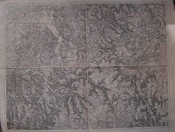
Aschaffenburg, Miltenberg, Tauberbischofsheim, Lohr. Series: Carte de L'Empire D'Allemagne
[20th Century French Cartographer] · 1900
$150.00 (€136.71 | £114.66 | ¥23,784)
[Paris], France: [20th Century French Publisher], [ca 1900]. Folded Map. 76x97 cm. Very Good. Scale: 1:80,000. On verso, number in red: 17. Text in French. .