
Antiquariaat Goltzius
Libri
1109 libri di Antiquariaat Goltzius

Beschrijving van de provincie Noord Holland. Behorende bij de waterstaatskaart. 1950.
1950
€34.50 ($37.87 | £28.73 | ¥6,033)
's-Gravenhage, Staatsdrukkerij, 1950, xvi,385pp. with 4 original maps and one map (V) in photocopy.
Oude kaarten en de geschiedenis van de kop van Noord-Holland. Verhandelingen der Koninklijke Nederlandse Akademie van Wetenschappen, Afd. Natuurkunde
WESTENBERG, J., · 1961
€40.25 ($44.18 | £33.52 | ¥7,038)
Amsterdam, Noord-Hollandsche Uitgevers Maatschappij, 1961, 68pp. and further plates, original softcover illustrated binding, some wear and tear. Bookplate of Prof. G.P. van de Ven.

Topographical map of The Netherlands, topografische kaart van Nederland. Military map of the Netherlands. Bonnebladen.
1919
€40.25 ($44.18 | £33.52 | ¥7,038)
One page printed chromo topographical map paper on linen, 50x80cm. a so called bonneblad, based on the projection of Bonne. Attractive topographical maps in colour. scale 1:50000. The following maps are present: Heerlen 1919/1930; Oost Tiel 39 Oost 1977; Gennep 46 west 1978; G...

Topographical map of The Netherlands, topografische kaart van Nederland. Military map of the Netherlands. Bonnebladen.
1953
€40.25 ($44.18 | £33.52 | ¥7,038)
One page printed chromo topographical map paper on linen, 50x80cm. a so called bonneblad, based on the projection of Bonne. Attractive topographical maps in colour. scale 1:25000. The following maps are present: Oosterbeek 40A: 1953-1957; Biesbosch 44B 1956; Oosterhout 44D 195...
Geschiedenis van de kartografie van Nederland. Zes eeuwen land- en zeekaarten en stadsplattegronden.
KOEMAN,C., · 1983
€34.50 ($37.87 | £28.73 | ¥6,033)
Alphen aan de Rijn, Canaletto, 1983, 1st edition, 274pp. excluding index,, ills, original linen binding, gilt lettering on front and spine. original illustrated dustjacket with usual wear and tear.
Pannerden (prov.Gelderland). Origineel gelithografeerd kaartje uit de Gemeenteatlas ca. 1867, 25x19 cm.folded, hand coloured boundary.
Kuyper, J. · 0
€57.50 ($63.12 | £47.89 | ¥10,055)
Published by Hugo Suringar, Leeuwarden.
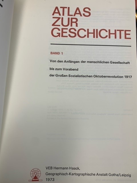
Atlas zur Geschichte .1 & 2., Von den Anfängen der menschlichen Gesellschaft bis zum Vorabend der Großen Sozialistischen Oktoberrevolution 1917/Von der GroBen Sozialistischen Oktoberrevolution 1917 bis 1972.
1973
€57.50 ($63.12 | £47.89 | ¥10,055)
Gotha/Leipzig, Hermann Haack/Goegrapish-Kartograpische Anstalt, 1973-1975, 256+232pp. fold out chart in each volume, original linen bindings, gilt lettering on front and spines, original dustjackets, interesting atlas printed in the German Democratic Republic (DDR). This atlas...
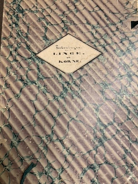
Set of 18 original maps of the river De Linge. \"Profielteekeningen van de rivier de Linge vanaf de groote brug, in de weg van Tiel naar Amerongen, tot de Lingesluis te Asperen.\"
0
€575.00 ($631.20 | £478.89 | ¥100,548)
18 handdrawn maps 51x51cm, each with handwritten note by Griffier of Staten van Gelderland Bauw on reverse, showing the stretch of the river De Linge in profile. In original half linen folder with title on front and marbled boards. Unique document.
Flugbild Europas
EGLI, E., · 1958
€28.75 ($31.56 | £23.94 | ¥5,027)
Artemis Verlag, Zürich, 1958, 225pp. original linen binding. many aerial photographs of Europe.
Militaire topografische kaarten en stadsplattegronden van Nederland 1579-1795. / Military topographical maps and town plans of the Netherlands, 1579-1795.
SCHOLTEN,F.W.J., · 1989
€40.25 ($44.18 | £33.52 | ¥7,038)
Alphen aan den Rijn, Canaletto, 1989. 248 pp. B./w. iIlls. Orig. hardcover (gilt lettered green cloth), d./j. - Dustjacket in good state. Dutch text. With a summary in English.

Chromolithograph map of Stroomgebied van den Roosendaalschen en Steenbergschen Vliet.
1920
€57.50 ($63.12 | £47.89 | ¥10,055)
Large fold out chromolithograph map by Pistoor 's-Hertogenbosch, [1920] 60x60cm, from the notulen of Provinciale Staten Noord-Brabant najaarszitting 1920.
Handleiding voor de studie van de topografische kaarten van Nederland 1750-1850 / Guide to the study of topographical mapping in the Netherlands 1750-1850. [1e druk].
KOEMAN,C., · 1963
€28.75 ($31.56 | £23.94 | ¥5,027)
Groningen, J.B. Wolters, 1963. 120 pp. B./w. ills 7 7 loose fold. (index) maps in rear pocket. Orig. hardcover (gilt lettered dark blue cloth). - Small piece of first free endpaper cut out; cover with light shelfwear; cover sl. warped..With a summary in English.
Beschrijving behorende bij de 5e editie van de waterstaatskaart Limburg.
1990
€28.75 ($31.56 | £23.94 | ¥5,027)
Delft, Rijkswaterstaat, 1990. 61 pp., fp., veel fign. & foto's, 5 gekleurde en gevouwen kaarten in achterflap. Orig. omslag,
De Mieden / een landschap in de Noorddelijke Friese Wouden
JAGER, S., · 2009
€28.75 ($31.56 | £23.94 | ¥5,027)
Matrijs, 2009, hardcover, 176pp, original illustrated hardcover binding. De Mieden. Een landschap in de Noordelijke Friese Wouden geeft voor het eerst een uitgebreid beeld van de Miedengebieden bij Surhuizum, Buitenpost, Twijzel en Zwaagwesteinde. Zowel historische, geografisc...

Historische topografische atlas 1843-1845 Achterhoek, Liemers, Rijk van Nijmegen.
2008
€80.50 ($88.37 | £67.05 | ¥14,077)
Tilburg, Nieuwland, 2008, 17pp text and reproductions of the maps from 1843-1845. Half linen binding, pictorial boards. Treasure trove for enthousiasts of this region. Bookplate of Prof. G.P. van de Ven.
De atlas van Huguenin. Militair-topografische kaarten van Noord-Nederland.
VERSFELT, H.J.; SCHROOR, M., · 2005
€51.75 ($56.81 | £43.10 | ¥9,049)
Heveskes, 2005, Hardcover. 34x24 cm.good and clean copy, minor fading of spine, bookplate of G.P. van de Ven.
Paysages de Frontieres. Tracés de limites et levés topographiques XVIIe-XIXe siècle.
WATELET, M., · 1992
€46.00 ($50.50 | £38.31 | ¥8,044)
Tielt / Paris / Louvain-la-Neuve, Lannoo / Duculot, 1992 .Original cloth, with dustjacket. 200 pp.; many color illustrations, 33.5x26 cm. \"Patrimoine Cartographique de Wallonie. Monumenta Cartographica Walloniae I\". Text in French. new state.
Beschrijving van de provincie Overijssel.
1963
€57.50 ($63.12 | £47.89 | ¥10,055)
's Gravenhage, Staatsdrukkerij, Rijkswaterstaat, 1963, 77pp and appendices, original softcover binding.
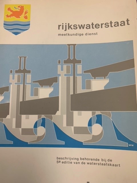
Beschrijving van de provincie Zeeland, behorende bij de 5e editie van de waterstaatskaart.
RIJKSWATERSTAAT, · 1984
€46.00 ($50.50 | £38.31 | ¥8,044)
Delft, Rijkswaterstaat Meetkundige dienst, 1984, 47 pp., original softcover binding, many ilustrations, 5 fold out maps.
Beschrijving van de provincie Zeeland, behorende bij de waterstaatskaart.
RIJKSWATERSTAAT, · 1971
€28.75 ($31.56 | £23.94 | ¥5,027)
1971. SDU, 's-Gravenhage. 139 pp., original linen binding, with original dustwrapper, many ilustrations, 16 fold out maps.