
Bailgate Books Ltd
Libri
8001 libri di Bailgate Books Ltd

Map of "Lower Egypt" from the 1920 Times Survey Atlas (Plate 79) including Suez Canal and plans of Cairo, Port Said and Suez and environs
The Times and J. G. Bartholomew · 1920
£22.00 (€26.37 | $29.04 | ¥4,631)
Map The Times, London, 1920. First Edition, Softcover. Very Good Condition/No Dust Jacket. Disbound single sheet with vertical centre fold from the 1920 "The Times Survey Atlas of the World". Map is in colour and suitable for framing. Map at scale 1:1,000,000 with two inset co...
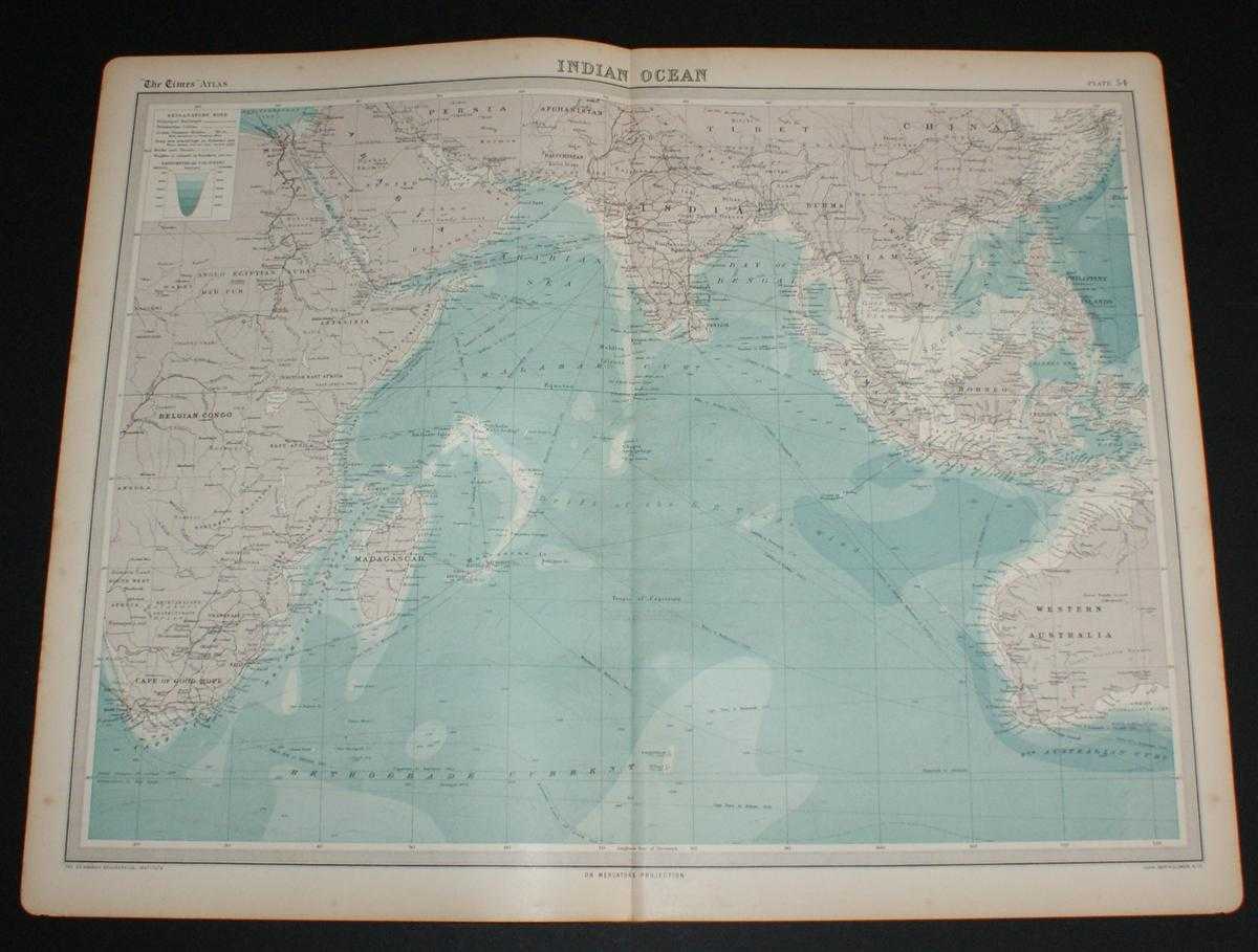
Map of the Indian Ocean from the 1920 Times Survey Atlas (Plate 54) including currents and shipping routes
The Times and J. G. Bartholomew · 1920
£26.00 (€31.16 | $34.32 | ¥5,473)
Map The Times, London, 1920. First Edition, Softcover. Very Good Condition/No Dust Jacket. Disbound single sheet with vertical centre fold from the 1920 "The Times Survey Atlas of the World". Map is in colour and suitable for framing, land is grey and seas are shades of blue a...

Map of Eastern China from the 1920 Times Survey Atlas (Plate 64) including Hankow, Anking, Nanking, Hangchow, Shanghai, Ningpo, Foochow, Canton, Hong Kong, Peking, Tientsin, Tsinan, Amoy and Taiwan (Formosa)
The Times and J. G. Bartholomew · 1920
£20.00 (€23.97 | $26.40 | ¥4,210)
Map The Times, London, 1920. First Edition, Softcover. Very Good Condition/No Dust Jacket. Disbound single sheet with vertical centre fold from the 1920 "The Times Survey Atlas of the World". Map is in colour and suitable for framing. Province boundaries are marked in differen...
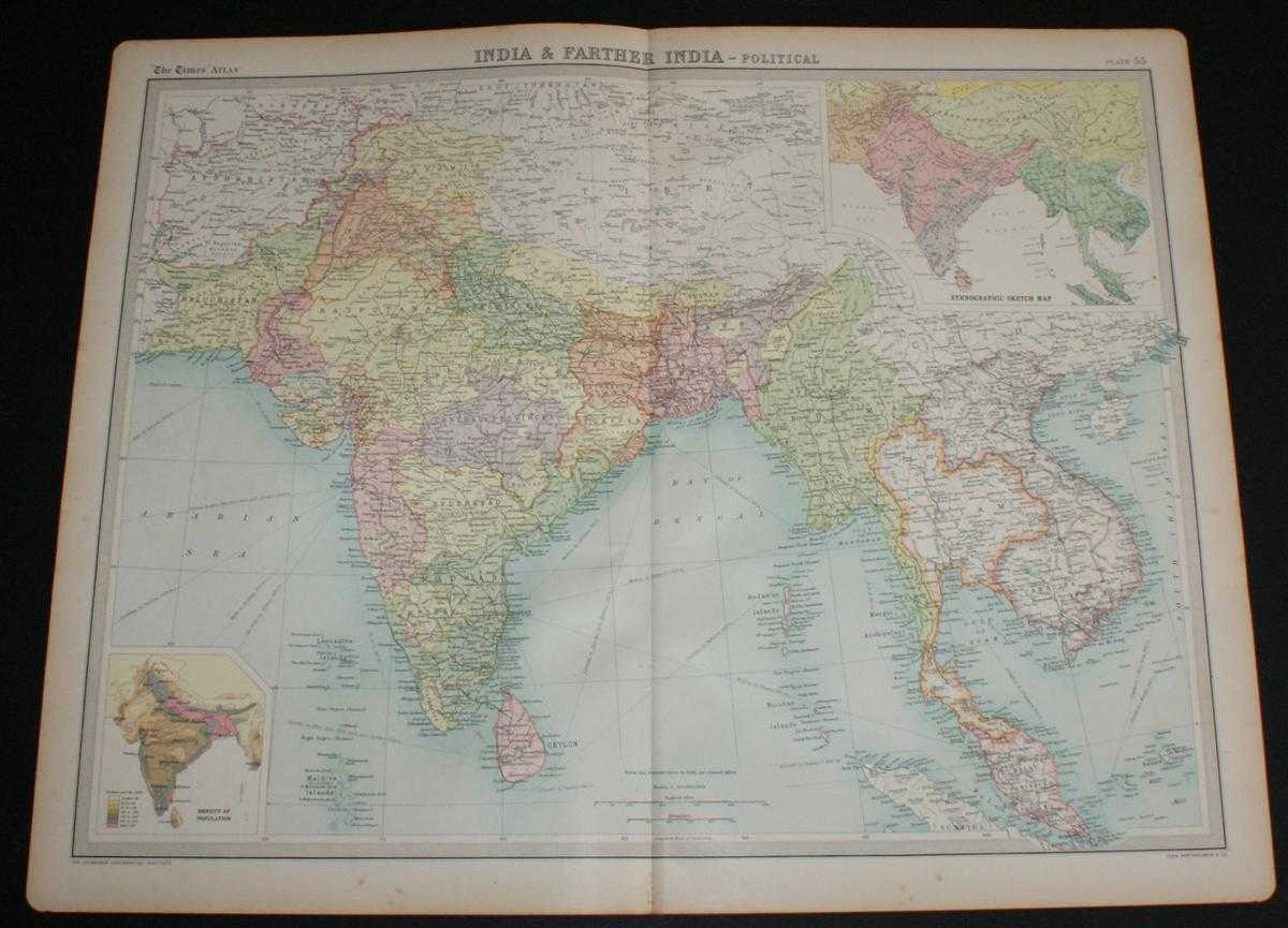
Map of "India & Farther India" from the 1920 Times Survey Atlas (Plate 55) covering modern day India, Pakistan, Afghanistan, Nepal, Tibet, Thailand, Bangladesh, Myanmar, Cambodia, Laos, Vietnam, Sri Lanka and Malaysia
The Times and J. G. Bartholomew · 1920
£26.00 (€31.16 | $34.32 | ¥5,473)
Map The Times, London, 1920. First Edition, Softcover. Very Good Condition/No Dust Jacket. Disbound single sheet with vertical centre fold from the 1920 "The Times Survey Atlas of the World". Map is in colour and suitable for framing. Country or state boundaries are marked in ...

Map of India "Provinces of the Lower Ganges" or "The Ganges Valley from Delhi to Calcutta" from the 1920 Times Survey Atlas (Plate 59) including Bihar and Orissa, Bengal, United Provinces, Chota Nagpur, Allahabad, Benares, Lucknow,and Agra
The Times and J. G. Bartholomew · 1920
£24.00 (€28.77 | $31.68 | ¥5,052)
Map The Times, London, 1920. First Edition, Softcover. Very Good Condition/No Dust Jacket. Disbound single sheet with horizontal centre fold from the 1920 "The Times Survey Atlas of the World". Map is in colour and suitable for framing. State boundaries are marked in different...

Map of "Malay Archipelago" from the 1920 Times Survey Atlas (Plate 61) covering Siam (Thailand), Cambodia, Laos, Annam (Vietnam), Hainan, Malaysia, Sumatra, Java, Borneo, Philippines, Indonesia and Papua
The Times and J. G. Bartholomew · 1920
£24.00 (€28.77 | $31.68 | ¥5,052)
Map The Times, London, 1920. First Edition, Softcover. Very Good Condition/No Dust Jacket. Disbound single sheet with vertical centre fold from the 1920 "The Times Survey Atlas of the World". Map is in colour and suitable for framing. Colour on both land and sea according to c...

Map of "India - North-Eastern Section" from the 1920 Times Survey Atlas (Plate 57) covering parts of modern day India, Bangladesh, Nepal, Tibet, Bhutan, Myanmar, etc.
The Times and J. G. Bartholomew · 1920
£20.00 (€23.97 | $26.40 | ¥4,210)
Map The Times, London, 1920. First Edition, Softcover. Very Good Condition/No Dust Jacket. Disbound single sheet with vertical centre fold from the 1920 "The Times Survey Atlas of the World". Map is in colour and suitable for framing. Colour on both land and sea according to c...
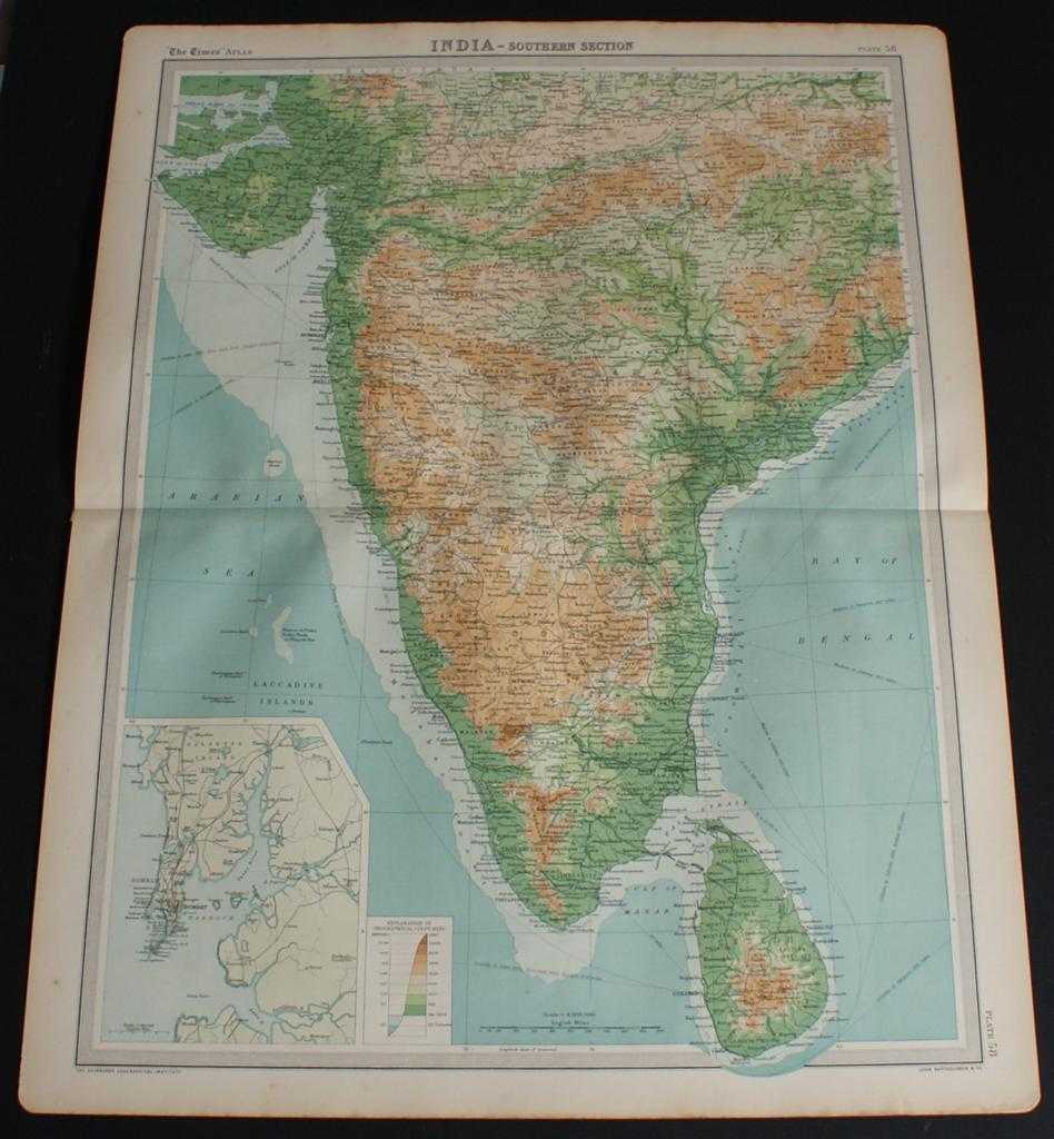
Map of "India - Southern Section" from the 1920 Times Survey Atlas (Plate 58) covering Mysore, Hyrerabad, Central Provinces, Ceylon (Sri Lanka), Kathainwar, Bombay, Baroda, Chota, Laccadive Islands, etc.
The Times and J. G. Bartholomew · 1920
£20.00 (€23.97 | $26.40 | ¥4,210)
Map The Times, London, 1920. First Edition, Softcover. Very Good Condition/No Dust Jacket. Disbound single sheet with horizontal centre fold from the 1920 "The Times Survey Atlas of the World". Map is in colour and suitable for framing. Colour on both land and sea according to...

Map of West Africa from the 1920 Times Survey Atlas (Plate 76) including Ivory Coast, Liberia, Gold Coast Colony, Dahomey, Upper Volta, Upper Senegal and Niger, French Guinea, French West Africa (part), Sierra Leone, etc.
The Times and J. G. Bartholomew · 1920
£22.00 (€26.37 | $29.04 | ¥4,631)
Map The Times, London, 1920. First Edition, Softcover. Very Good Condition/No Dust Jacket. Disbound single sheet with vertical centre fold from the 1920 "The Times Survey Atlas of the World". Map is in colour and suitable for framing. Colour on both land and sea according to c...
Map of Central Africa - Eastern Section from the 1920 Times Survey Atlas (Plate 75) including Lake Victoria, Uganda, Kenya Colony, Tanganyika Territory, Belgian Congo (part), Northern Rhodesia (part), Nyasaland Protectorate, etc.
The Times and J. G. Bartholomew · 1920
£24.00 (€28.77 | $31.68 | ¥5,052)
Map The Times, London, 1920. First Edition, Softcover. Very Good Condition/No Dust Jacket. Disbound single sheet with horizontal centre fold from the 1920 "The Times Survey Atlas of the World". Map is in colour and suitable for framing. Colour on both land and sea according to...

Map of Central Africa - Western Section from the 1920 Times Survey Atlas (Plate 74) including Unbangi-Shari-Chad, Cammeroons, French Equatorial Africa, Gabon, Spanish Guinea, Belgian Congo (part), Nigeria (part), etc.
The Times and J. G. Bartholomew · 1920
£22.00 (€26.37 | $29.04 | ¥4,631)
Map The Times, London, 1920. First Edition, Softcover. Very Good Condition/No Dust Jacket. Disbound single sheet with horizontal centre fold from the 1920 "The Times Survey Atlas of the World". Map is in colour and suitable for framing. Colour on both land and sea according to...
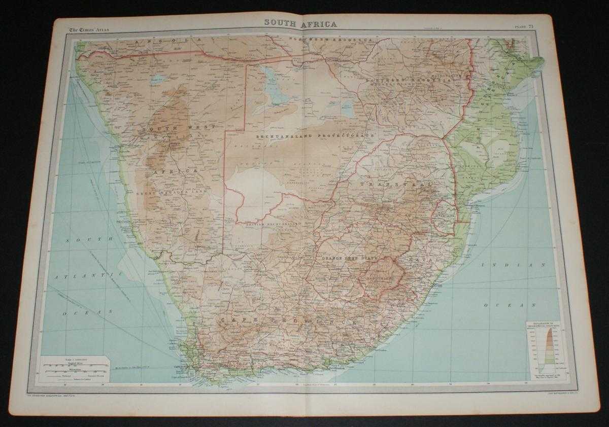
Map of South Africa from the 1920 Times Survey Atlas (Plate 71) including Cape Province, Orange Free State, Transvaal, Bechuanaland Protectorate, Southern Rhodesia, South West Africa, Swaziland, Natal, Portuguese East Africa, etc.
The Times and J. G. Bartholomew · 1920
£24.00 (€28.77 | $31.68 | ¥5,052)
Map The Times, London, 1920. First Edition, Softcover. Very Good Condition/No Dust Jacket. Disbound single sheet with vertical centre fold from the 1920 "The Times Survey Atlas of the World". Map is in colour and suitable for framing. Colour on both land and sea according to c...
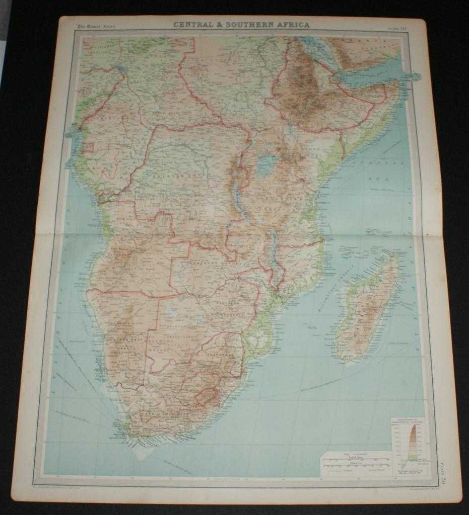
Map of Central & Southern Africa from the 1920 Times Survey Atlas (Plate 70) including Cameroons, Gambon, French Equatorial Africa, Abyssinia, Belgian Congo, Tanganyika Territory, Angola, Rhodesias, Transvaal, Madagascar, etc.
The Times and J. G. Bartholomew · 1920
£24.00 (€28.77 | $31.68 | ¥5,052)
Map The Times, London, 1920. First Edition, Softcover. Very Good Condition/No Dust Jacket. Disbound single sheet with vertical centre fold from the 1920 "The Times Survey Atlas of the World". Map is in colour and suitable for framing. Colour on both land and sea according to c...
Map of Northern Africa from the 1920 Times Survey Atlas (Plate 69) including Morocco, Algeria, Libya, Egypt, Senegal, French West Africa, Nigeria, Cameroon, Uganda, Red Sea, etc.
The Times and J. G. Bartholomew · 1920
£24.00 (€28.77 | $31.68 | ¥5,052)
Map The Times, London, 1920. First Edition, Softcover. Very Good Condition/No Dust Jacket. Disbound single sheet with vertical centre fold from the 1920 "The Times Survey Atlas of the World". Map is in colour and suitable for framing. Colour on both land and sea according to c...
Map of Canada from the 1920 Times Survey Atlas (Plate 82 Dominion of Canada - Political)
The Times and J. G. Bartholomew · 1920
£28.00 (€33.56 | $36.96 | ¥5,894)
Map The Times, London, 1920. First Edition, Softcover. Very Good Condition/No Dust Jacket. Disbound single sheet with vertical centre fold from the 1920 "The Times Survey Atlas of the World". Map is in colour and suitable for framing. Coloured according to province. Map at sca...
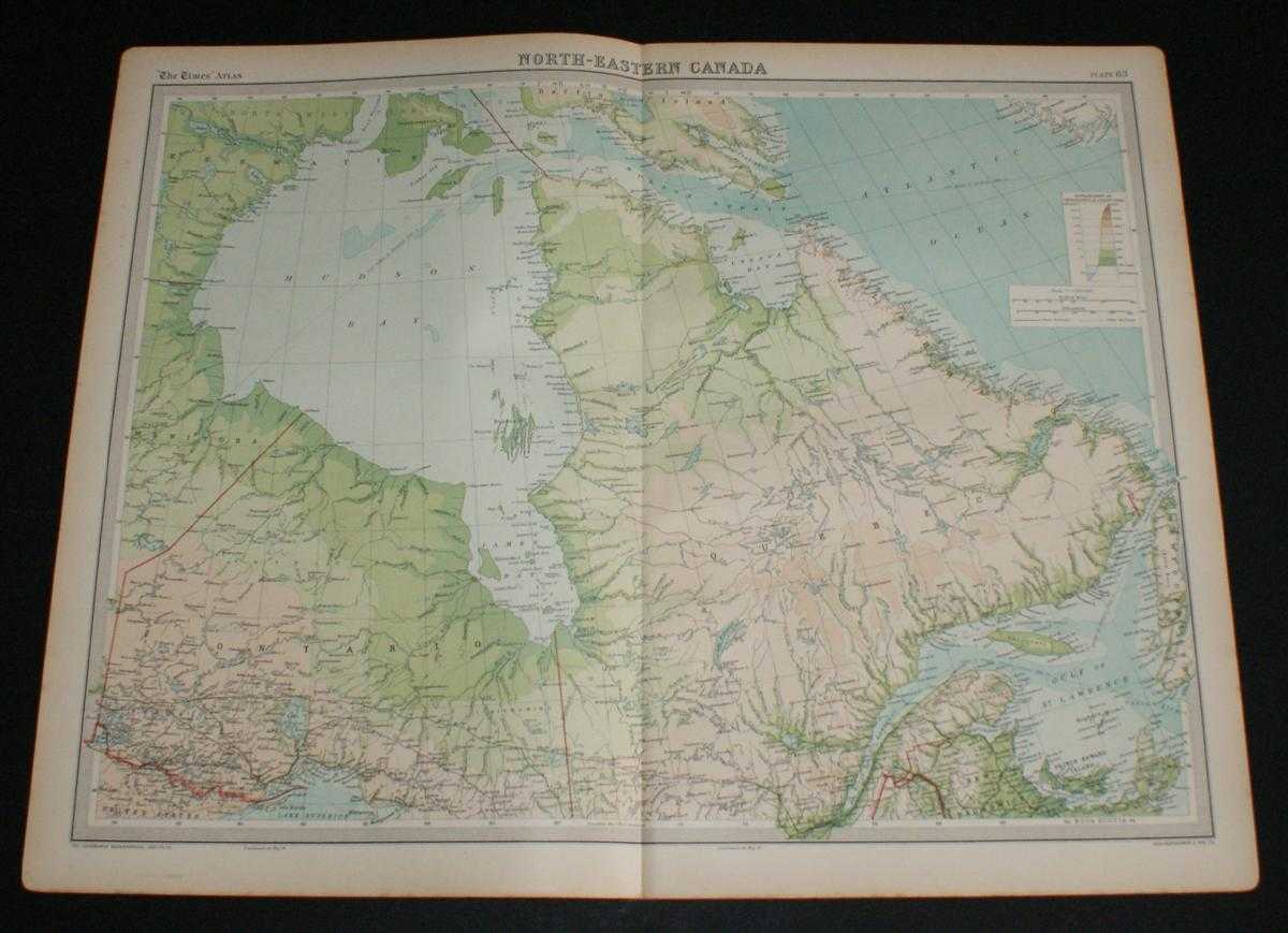
Map of North-Eastern Canada from the 1920 Times Survey Atlas (Plate 83) including Ontario, Quebec, Labrador, Hudson Bay and Gulf of St. Lawrence
The Times and J. G. Bartholomew · 1920
£26.00 (€31.16 | $34.32 | ¥5,473)
Map The Times, London, 1920. First Edition, Softcover. Very Good Condition/No Dust Jacket. Disbound single sheet with vertical centre fold from the 1920 "The Times Survey Atlas of the World". Map is in colour and suitable for framing. Colour on both land and sea according to c...
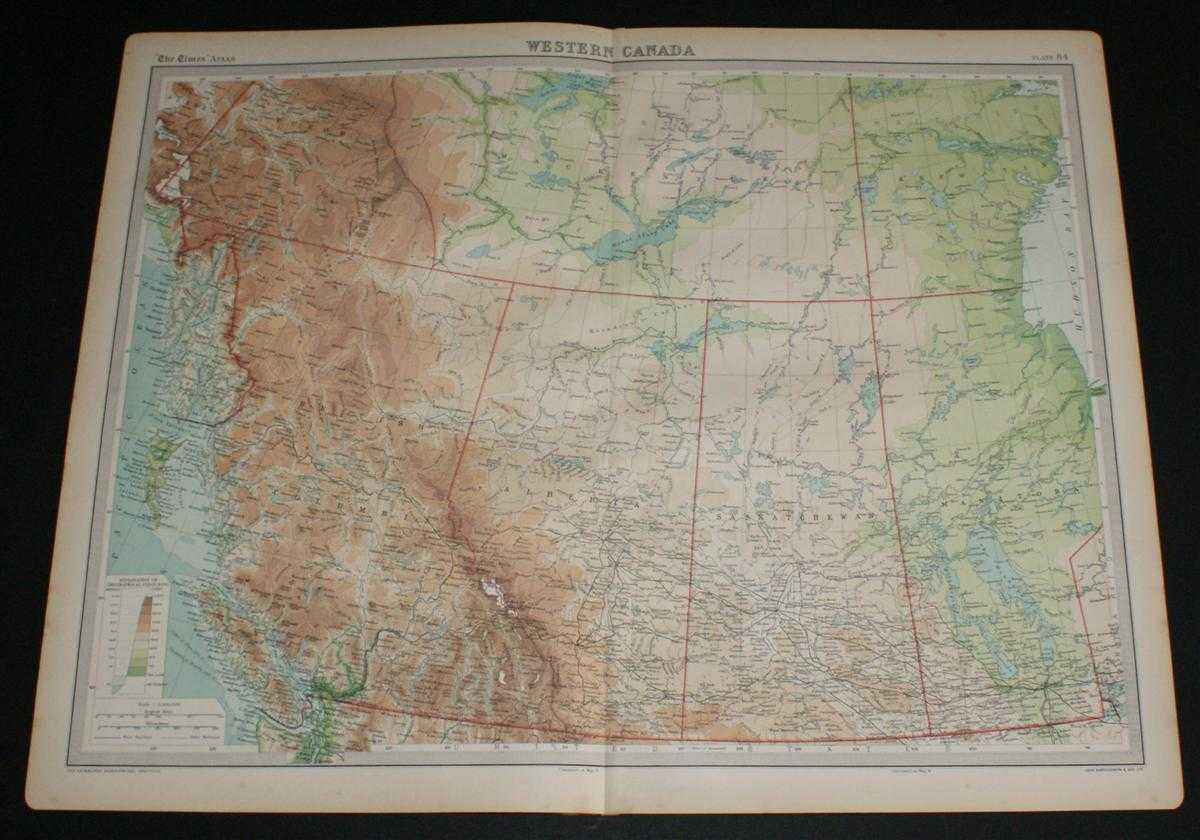
Map of Western Canada from the 1920 Times Survey Atlas (Plate 84) including British Columbia, Alberta, Saskatchewan, Manitoba and parts of Yukon, Mackenzie and Keewatin
The Times and J. G. Bartholomew · 1920
£26.00 (€31.16 | $34.32 | ¥5,473)
Map The Times, London, 1920. First Edition, Softcover. Very Good Condition/No Dust Jacket. Disbound single sheet with vertical centre fold from the 1920 "The Times Survey Atlas of the World". Map is in colour and suitable for framing. Colour on both land and sea according to c...
Map of Maritime Provinces and Newfoundland, Canada from the 1920 Times Survey Atlas (Plate 85) including Prince Edward Island, Anticost Island, New Brunswick, Nova Scotia, Cape Breton Island and the Gulf of St. Lawrence
The Times and J. G. Bartholomew · 1920
£22.00 (€26.37 | $29.04 | ¥4,631)
Map The Times, London, 1920. First Edition, Softcover. Very Good Condition/No Dust Jacket. Disbound single sheet with vertical centre fold from the 1920 "The Times Survey Atlas of the World". Map is in colour and suitable for framing. Colour on both land and sea according to c...

Map of Ontario and Quebec, Canada from the 1920 Times Survey Atlas (Plate 86) including Lake Huron, Niagara Falls, Quebec, Montreal, Ottawa, Toronto, Boston and Detroit
The Times and J. G. Bartholomew · 1920
£24.00 (€28.77 | $31.68 | ¥5,052)
Map The Times, London, 1920. First Edition, Softcover. Very Good Condition/No Dust Jacket. Disbound single sheet with vertical centre fold from the 1920 "The Times Survey Atlas of the World". Map is in colour and suitable for framing. Colour on both land and sea according to c...
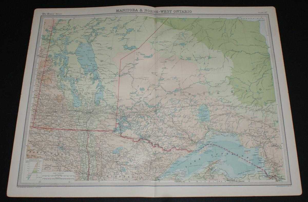
Map of Manitoba and North-West Ontario, Canada from the 1920 Times Survey Atlas (Plate 87)
The Times and J. G. Bartholomew · 1920
£20.00 (€23.97 | $26.40 | ¥4,210)
Map The Times, London, 1920. First Edition, Softcover. Very Good Condition/No Dust Jacket. Disbound single sheet with vertical centre fold from the 1920 "The Times Survey Atlas of the World". Map is in colour and suitable for framing. Colour according to contour. Map at scale ...