
Bailgate Books Ltd
Libri
8001 libri di Bailgate Books Ltd
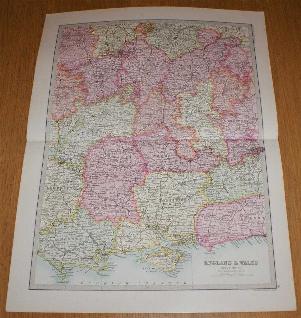
Map of England & Wales (Section 4) covering Worcester, Warwick, Northampton, Gloucester, Oxford, Buckingham, Hampshire, Isle of Wight, etc. - Sheet 15 Disbound from the 1890 'The Library Reference Atlas of the World'
John Bartholomew · 1890
£32.00 (€38.35 | $42.24 | ¥6,736)
Macmillan and Co. London, 1890. First Edition, Softcover. Very Good Condition/No Dust Jacket. Single disbound coloured map sheet from John Bartholomew's Library Reference Atlas. Section 4 only of 6 covering England and Wales. Approx size 35 x 46 cm, vertical centre fold. Corne...
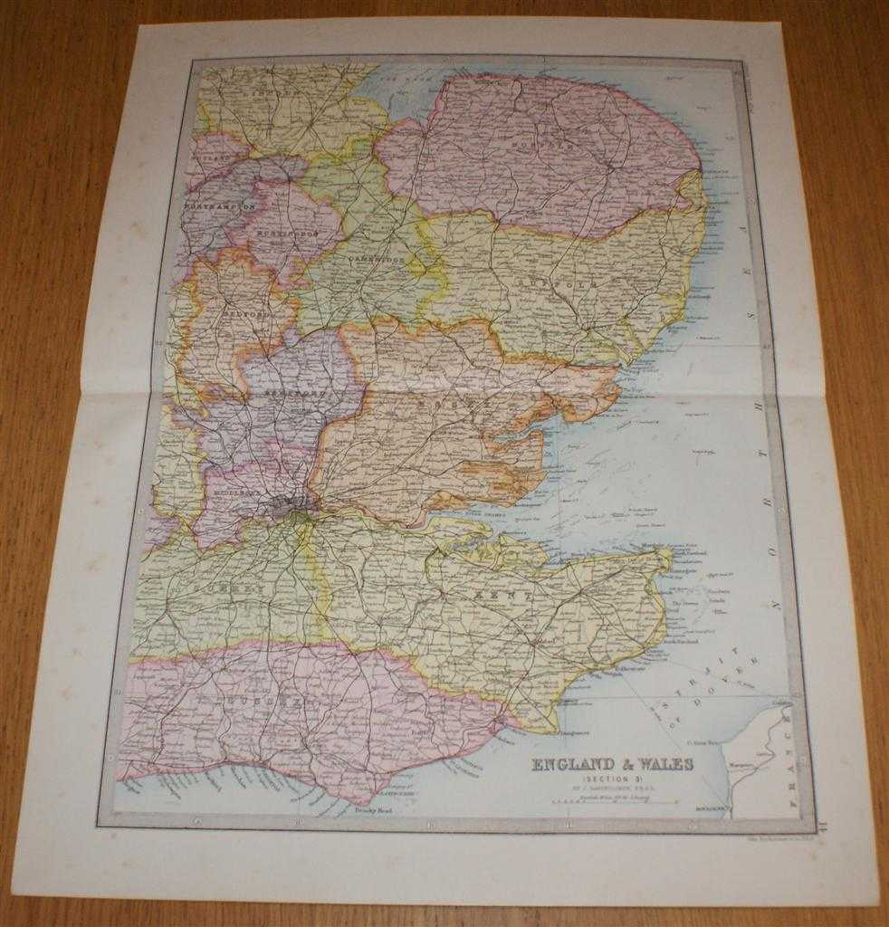
Map of England & Wales (Section 3) covering London, Kent, Essex, Suffolk, Norfolk, Cambridge, Huntingdon, Bedford, etc. - Sheet 14 Disbound from the 1890 'The Library Reference Atlas of the World'
John Bartholomew · 1890
£32.00 (€38.35 | $42.24 | ¥6,736)
Macmillan and Co. London, 1890. First Edition, Softcover. Very Good Condition/No Dust Jacket. Single disbound coloured map sheet from John Bartholomew's Library Reference Atlas. Section 3 only of 6 covering England and Wales. Approx size 35 x 46 cm, vertical centre fold. Light...
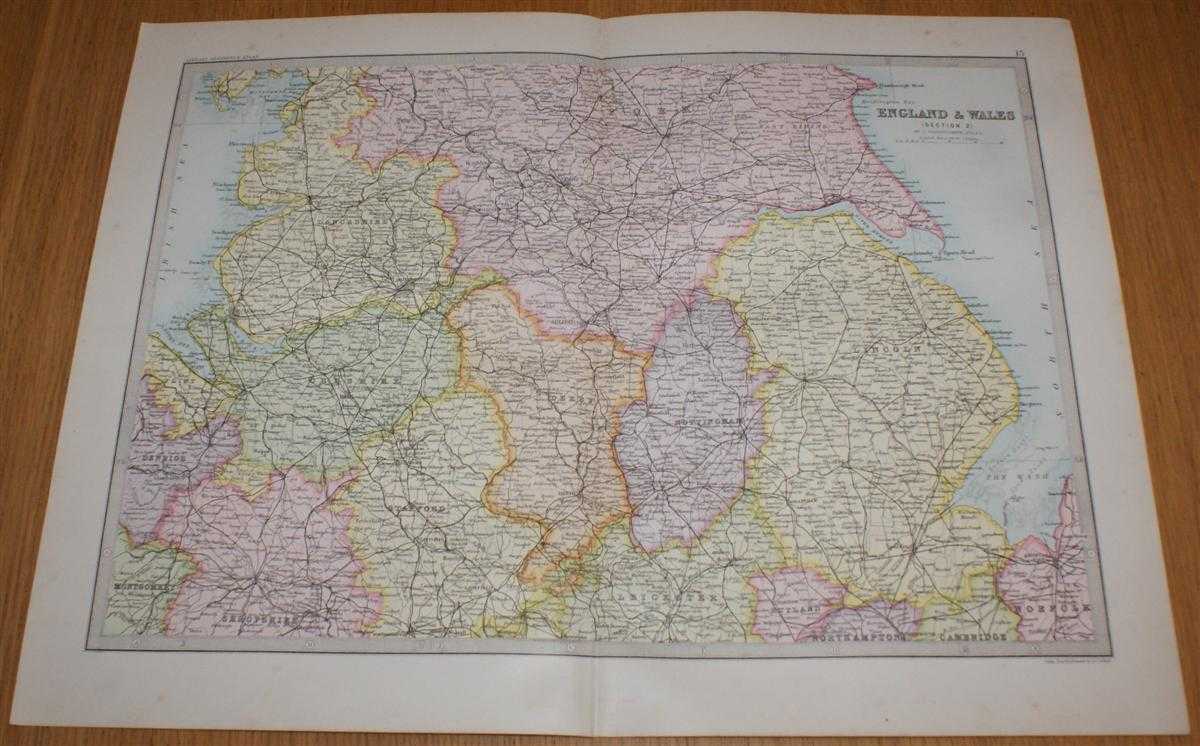
Map of England & Wales (Section 2) covering Cheshire, Lincolnshire, Derbyshire, Nottinghamshire, East and West Ridings of Yorkshire, etc. - Sheet 13 Disbound from the 1890 'The Library Reference Atlas of the World'
John Bartholomew · 1890
£32.00 (€38.35 | $42.24 | ¥6,736)
Macmillan and Co. London, 1890. First Edition, Softcover. Very Good Condition/No Dust Jacket. Single disbound coloured map sheet from John Bartholomew's Library Reference Atlas. Section 2 only of 6 covering England and Wales. Approx size 35 x 46 cm, vertical centre fold. Sligh...
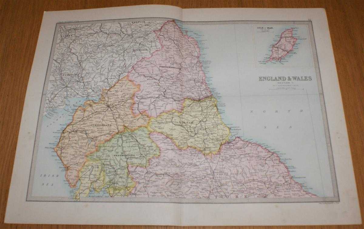
Map of England & Wales (Section 1) covering Northumberland, Durham, Cumberland, Westmorland, Scottish Border, etc. with inset of Isle of Man - Sheet 12 Disbound from the 1890 'The Library Reference Atlas of the World'
John Bartholomew · 1890
£32.00 (€38.35 | $42.24 | ¥6,736)
Macmillan and Co. London, 1890. First Edition, Softcover. Very Good Condition/No Dust Jacket. Single disbound coloured map sheet from John Bartholomew's Library Reference Atlas. Section 1 only of 6 covering England and Wales. Approx size 35 x 46 cm, vertical centre fold. Sligh...
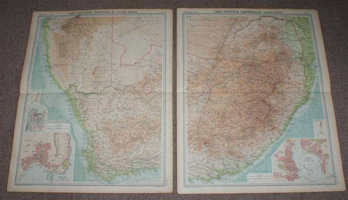
Map of South Africa from 1920 Times Atlas on two sheets (Plates 72 and 73) including Cape Province, Orange Free State, Transvaal, British Bechuanaland, Basutoland (Lesotho) and Swaziland (Eswatini)
The Times and J. G. Bartholomew · 1920
£38.00 (€45.54 | $50.17 | ¥7,999)
The Times, London, 1920. First Edition, Softcover. Very Good Condition/No Dust Jacket. Two disbound map sheets with horizontal centre folds from the 1920 "The Times Survey Atlas of the World". Maps are in colour and suitable for framing. Colour is according to contour, boundar...

Map of "Germany - Eastern Section" from 1920 Times Atlas (Plate 41) including Berlin, Magdeburg, Leipzip, Dresden, Chemnitz, Halle, Breslau, Posen, Stettin, Stralsund, Gorlitz, Liegnitz, Dessau, etc.
The Times and J. G. Bartholomew · 1920
£22.00 (€26.37 | $29.04 | ¥4,631)
The Times, London, 1920. First Edition, Softcover. Very Good Condition/No Dust Jacket. Disbound single sheet with horizontal centre fold from the 1920 "The Times Survey Atlas of the World". Map is in colour and suitable for framing. Colour is according to contour, boundaries o...

Map of "Germany - Western Section" from 1920 Times Atlas (Plate 40) including Hamburg, Lubeck, Bremen, Essen, Hanover, Brunswick, Magdeburg, Cologne, Dusseldorf, Erfurt, Cassel, Weimar, Coblenz and Kiel
The Times and J. G. Bartholomew · 1920
£22.00 (€26.37 | $29.04 | ¥4,631)
The Times, London, 1920. First Edition, Softcover. Very Good Condition/No Dust Jacket. Disbound single sheet with horizontal centre fold from the 1920 "The Times Survey Atlas of the World". Map is in colour and suitable for framing. Colour is according to contour, boundaries o...

Map of South Atlantic Ocean from the 1920 Times Atlas (Plate 97) including South America, Brazil, Argentina, Venezuela, Galapagos Islands, Falkland Islands, South Georgia, Belgian Congo, Cape of Good Hope, Cape Horn, etc.
The Times and J. G. Bartholomew · 1920
£24.00 (€28.77 | $31.68 | ¥5,052)
The Times, London, 1920. First Edition, Softcover. Very Good Condition/No Dust Jacket. Disbound single sheet with vertical centre fold from the 1920 "The Times Survey Atlas of the World". Map is in colour and sheet is suitable for framing. Land is coloured grey and sea is shad...

Map of South Pacific Ocean from the 1920 Times Atlas (Plate 102) including Australia, Hawaii, Papua New Guinea, Philippines, New Zealand, Fiji, Tonga, New Hebrides, Caroline Islands, East Indian Archipelago, Marquesas Islands, etc.
The Times and J. G. Bartholomew · 1920
£24.00 (€28.77 | $31.68 | ¥5,052)
The Times, London, 1920. First Edition, Softcover. Very Good Condition/No Dust Jacket. Disbound single sheet with vertical centre fold from the 1920 "The Times Survey Atlas of the World". Map is in colour and sheet is suitable for framing. Land is coloured grey and sea is shad...

"Mapping of the World" - Plate 1 from the 1920 Times Atlas, single sheet with numerous small historical World Maps from 450BC to 1921 including Herodotus, Strabo, Mela, Ptolemy and Ortelius maps
The Times and J. G. Bartholomew · 1920
£24.00 (€28.77 | $31.68 | ¥5,052)
The Times, London, 1920. First Edition, Softcover. Very Good Condition/No Dust Jacket. Disbound single sheet with vertical centre fold from the 1920 "The Times Survey Atlas of the World". Maps are in colour and sheet is suitable for framing. Sheet contains representations of t...

Maps of Europe showing Orography, Vegetation, Ethnography and Population from the 1920 Times Atlas (Plate 11 "Europe - Physical Features & Population") - single sheet containing 4 maps
The Times and J. G. Bartholomew · 1920
£22.00 (€26.37 | $29.04 | ¥4,631)
The Times, London, 1920. First Edition, Softcover. Very Good Condition/No Dust Jacket. Disbound single sheet with vertical centre fold from the 1920 "The Times Survey Atlas of the World". Sheet is subdivided into four maps - Orography, Vegetation, Ethnography and Population. M...
World Maps showing Commerce from the 1920 Times Atlas (Plate 6) - single sheet containing 3 maps; Commercial Development, Occupations and Means of Traffic
The Times and J. G. Bartholomew · 1920
£22.00 (€26.37 | $29.04 | ¥4,631)
The Times, London, 1920. First Edition, Softcover. Very Good Condition/No Dust Jacket. Disbound single sheet with vertical centre fold from the 1920 "The Times Survey Atlas of the World". Sheet is subdivided into three maps. Maps are in colour and sheet is suitable for framing...
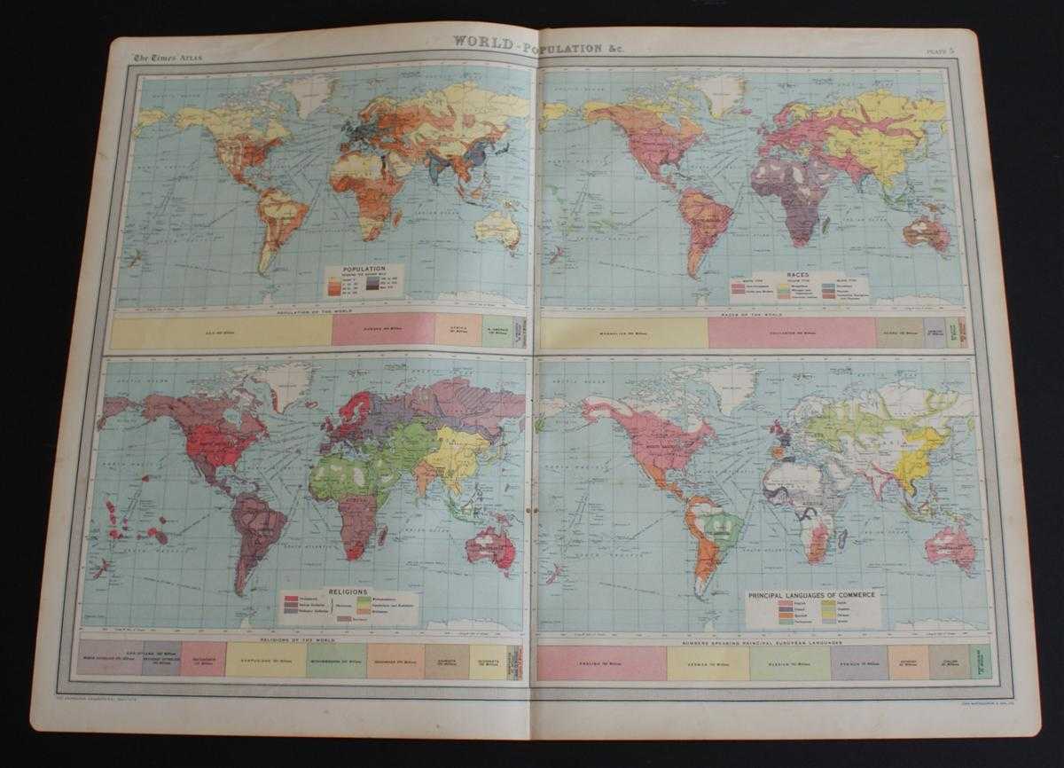
World Maps showing Population, Races, Religions and Principal Languages of Commerce from the 1920 Times Atlas (Plate 5) - single sheet containing 4 maps
The Times and J. G. Bartholomew · 1920
£22.00 (€26.37 | $29.04 | ¥4,631)
The Times, London, 1920. First Edition, Softcover. Very Good Condition/No Dust Jacket. Disbound single sheet with vertical centre fold from the 1920 "The Times Survey Atlas of the World". Sheet is subdivided into four maps. Maps are in colour and sheet is suitable for framing....

World Vegetation and Ocean Currents Map from the 1920 Times Atlas (Plate 4)
The Times and J. G. Bartholomew · 1920
£22.00 (€26.37 | $29.04 | ¥4,631)
The Times, London, 1920. First Edition, Softcover. Very Good Condition/No Dust Jacket. Disbound single sheet with vertical centre fold from the 1920 "The Times Survey Atlas of the World". Map is in colour and sheet is suitable for framing. Colour on land is by vegetation type ...
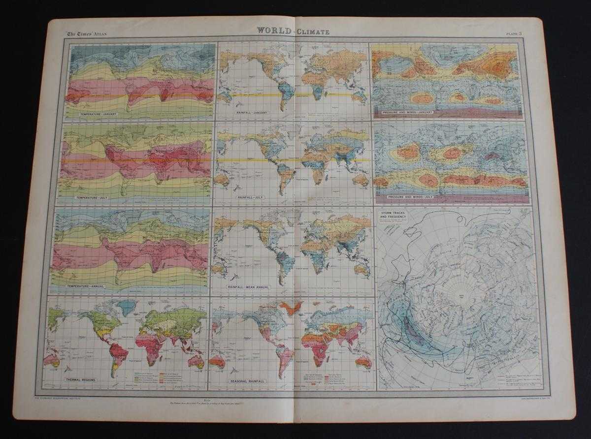
World Climate Maps from the 1920 Times Atlas (Plate 3) - single sheet containing 11 small maps depicting World Temperature levels, Rainfall and Pressure and Winds
The Times and J. G. Bartholomew · 1920
£22.00 (€26.37 | $29.04 | ¥4,631)
The Times, London, 1920. First Edition, Softcover. Very Good Condition/No Dust Jacket. Disbound single sheet with vertical centre fold from the 1920 "The Times Survey Atlas of the World". Maps are in colour and sheet is suitable for framing. Sheet is divided into 11 panels whi...

Map of South America in two sheets from the 1920 Times Atlas (Northern Section Plate 99 and Southern Section Plate 100) with small inset plans of Lima, Bahia, Valparaiso, Montevideo, Rio de Janeiro and Buenos Aires
The Times and J. G. Bartholomew · 1920
£36.00 (€43.15 | $47.52 | ¥7,578)
The Times, London, 1920. First Edition, Softcover. Very Good Condition/No Dust Jacket. Two disbound map sheets with vertical centre folds from the 1920 "The Times Survey Atlas of the World". Sheets are titled South America - Northern Section (Plate 99) and South America - Sout...

Map of Ireland in two sheets from the 1920 Times Atlas (Northern Section Plate 23 and Southern Section Plate 24) with small inset plans of Dublin, Belfast, Cork and Killarney
The Times and J. G. Bartholomew · 1920
£36.00 (€43.15 | $47.52 | ¥7,578)
The Times, London, 1920. First Edition, Softcover. Very Good Condition/No Dust Jacket. Two disbound map sheets with vertical centre folds from the 1920 "The Times Survey Atlas of the World". Sheets are titled Ireland - Northern Section (Plate 23) and Ireland - Southern Section...
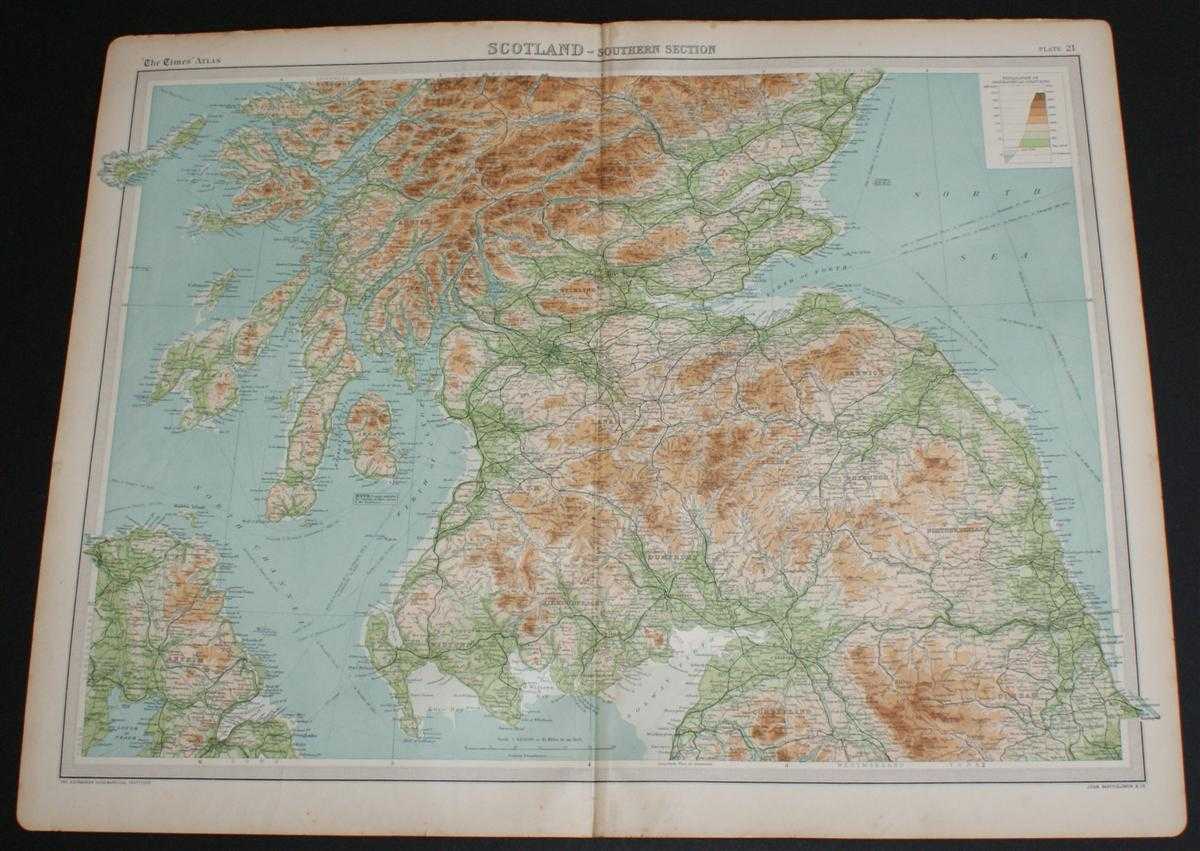
Map of "Scotland - Southern Section" from the 1920 Times Atlas (Plate 21) covering Solway Firth to Montrose including Glasgow, Endinburgh, Arran, Mull, Carlisle, Durham and Belfast
The Times and J. G. Bartholomew · 1920
£22.00 (€26.37 | $29.04 | ¥4,631)
The Times, London, 1920. First Edition, Softcover. Very Good Condition/No Dust Jacket. Disbound single sheet with vertical centre fold from the 1920 "The Times Survey Atlas of the World". Map is in colour and is suitable for framing. Colour on both land and sea according to co...
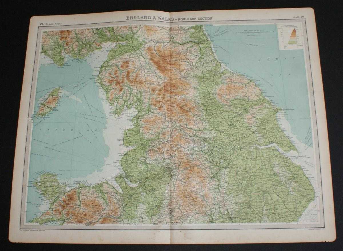
Map of "England and Wales - Northern Section" from the 1920 Times Atlas (Plate 20) covering Yorkshire, Cumbria, Anglesey, Durham, Cheshire, Lancashire, Denbigh and parts of Lincolnshire, Nottinghamshire and Derbyshire
The Times and J. G. Bartholomew · 1920
£22.00 (€26.37 | $29.04 | ¥4,631)
The Times, London, 1920. First Edition, Softcover. Very Good Condition/No Dust Jacket. Disbound single sheet with vertical centre fold from the 1920 "The Times Survey Atlas of the World". Map is in colour and is suitable for framing. Colour on both land and sea according to co...
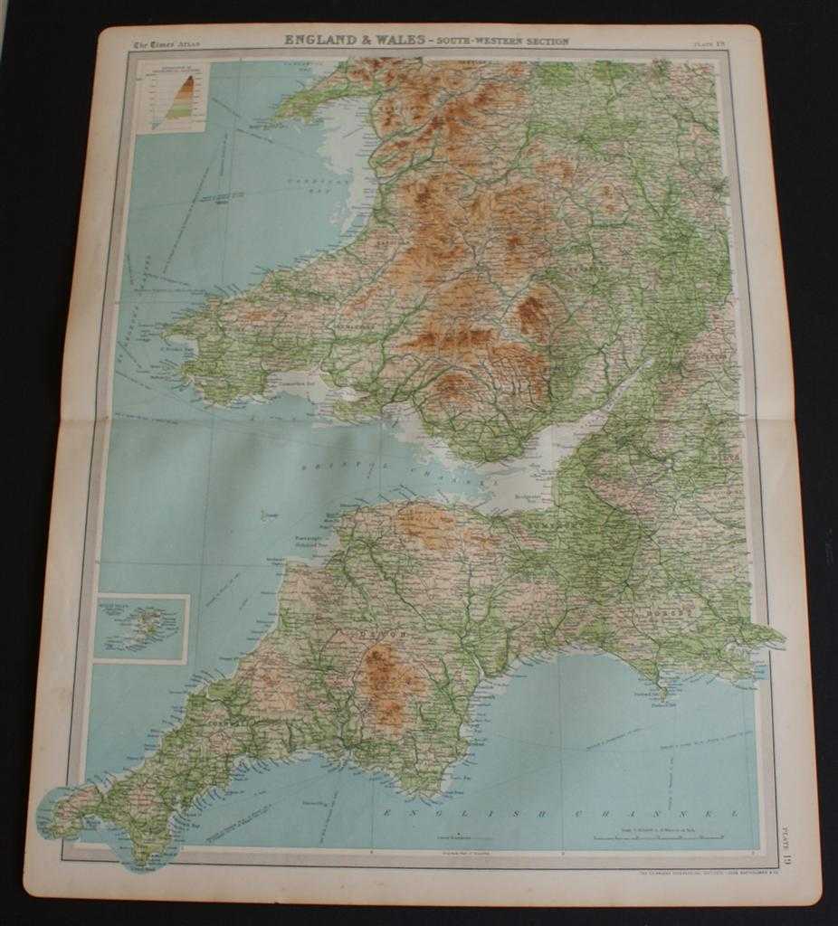
Map of South West England and South Wales from the 1920 Times Atlas (Plate 19 "England & Wales - South-Western Section") covering Cornwall, Devon, Somerset, Dorset, Glamorgan, Monmouth, Merioneth, Shropshire, etc.
The Times and J. G. Bartholomew · 1920
£22.00 (€26.37 | $29.04 | ¥4,631)
The Times, London, 1920. First Edition, Softcover. Very Good Condition/No Dust Jacket. Disbound single sheet with horizontal centre fold from the 1920 "The Times Survey Atlas of the World". Map is in colour and is suitable for framing. Colour on both land and sea according to ...