
Bailgate Books Ltd
Libri
8001 libri di Bailgate Books Ltd

Map of Spain and Portugal (with the Balearic Islands and Andorra) - Sheet 37 disbound from the 1890 'The Library Reference Atlas of the World'
John Bartholomew · 1890
£38.00 (€45.54 | $50.17 | ¥7,999)
Macmillan and Co. London, 1890. First Edition, Softcover. Very Good Condition/No Dust Jacket. Single disbound coloured map sheet, from John Bartholomew's Library Reference Atlas. Suitable for framing. Approx size 35 x 46cm, vertical centre fold. Sheet has occasional light mark...
Map of Italy (with Sicily, Sardinia, Corsica and Malta) - Sheet 36 disbound from the 1890 'The Library Reference Atlas of the World'
John Bartholomew · 1890
£35.00 (€41.95 | $46.20 | ¥7,367)
Macmillan and Co. London, 1890. First Edition, Softcover. Good Condition/No Dust Jacket. Single disbound coloured map sheet, from John Bartholomew's Library Reference Atlas. Suitable for framing. Approx size 46 x 35cm, horizontal centre fold. Map has occasional small marks, fo...
Map of 'Turkey in Europe, Greece, Roumania, Servia &c.' - Sheet 35 disbound from the 1890 'The Library Reference Atlas of the World' covering modern day Greece, Albania, Bulgaria and North Macedonia
John Bartholomew · 1890
£36.00 (€43.15 | $47.52 | ¥7,578)
Macmillan and Co. London, 1890. First Edition, Softcover. Very Good Condition/No Dust Jacket. Single disbound coloured map sheet, from John Bartholomew's Library Reference Atlas. Map covers modern day Greece, Albania, Bulgaria, North Macedonia, Montenegro, Kosovo and parts of ...
Map of 'German Empire, Holland & Belgium' - Sheet 32 disbound from the 1890 'The Library Reference Atlas of the World'
John Bartholomew · 1890
£36.00 (€43.15 | $47.52 | ¥7,578)
Macmillan and Co. London, 1890. First Edition, Softcover. Good Condition/No Dust Jacket. Single disbound coloured map sheet, from John Bartholomew's Library Reference Atlas. Suitable for framing. Approx size 35 x 46cm, vertical centre fold. Map is crisp, clear and bright. Smal...

Map of Switzerland - Sheet 33 disbound from the 1890 'The Library Reference Atlas of the World'
John Bartholomew · 1890
£36.00 (€43.15 | $47.52 | ¥7,578)
Macmillan and Co. London, 1890. First Edition, Softcover. Very Good Condition/No Dust Jacket. Single disbound coloured map sheet, from John Bartholomew's Library Reference Atlas. Suitable for framing. Approx size 35 x 46cm, vertical centre fold. Map is clean, crisp, clear and ...
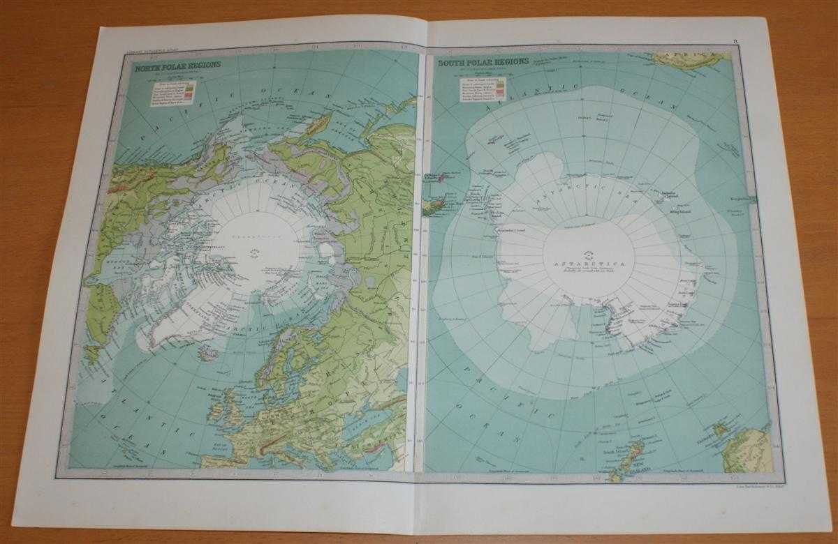
Map of The North and South Polar Regions, including Siberia, Greenland and Alaska - Sheet 8, disbound from the 1890 'The Library Reference Atlas of the World' (Antarctica and the Arctic)
John Bartholomew · 1890
£36.00 (€43.15 | $47.52 | ¥7,578)
Macmillan and Co. London, 1890. First Edition, Softcover. Very Good Condition/No Dust Jacket. Single disbound coloured map sheet, from John Bartholomew's Library Reference Atlas. Suitable for framing. Approx size 35 x 46cm, vertical centre fold. Ocassional light foxing, map is...
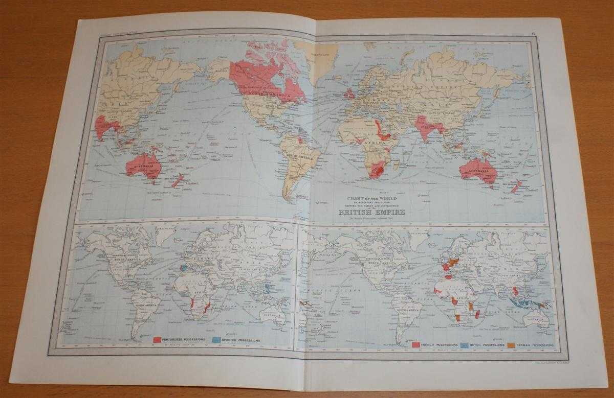
Map of The World showing the Extent and Distribution of the British Empire - Sheet 6 disbound from the 1890 'The Library Reference Atlas of the World'
John Bartholomew · 1890
£32.00 (€38.35 | $42.24 | ¥6,736)
Macmillan and Co. London, 1890. First Edition, Softcover. Good Condition/No Dust Jacket. Single disbound coloured map sheet, from John Bartholomew's Library Reference Atlas. Suitable for framing. Approx size 35 x 46cm, vertical centre fold. Map is clean, crisp, clear and brigh...
Commercial Map of The World - Sheet 7 disbound from the 1890 'The Library Reference Atlas of the World' with principal rail, steam and sailing routes
John Bartholomew · 1890
£34.00 (€40.75 | $44.88 | ¥7,157)
Macmillan and Co. London, 1890. First Edition, Softcover. Very Good Condition/No Dust Jacket. Single disbound coloured map sheet, from John Bartholomew's Library Reference Atlas. Suitable for framing. Approx size 35 x 46cm, vertical centre fold. Map is clean, crisp, clear and ...

Map of The World; Temperature and Climate - Sheet 5 disbound from the 1890 'The Library Reference Atlas of the World'
John Bartholomew · 1890
£33.00 (€39.55 | $43.56 | ¥6,946)
Macmillan and Co. London, 1890. First Edition, Softcover. Very Good Condition/No Dust Jacket. Single disbound coloured map sheet, from John Bartholomew's Library Reference Atlas. Suitable for framing. Approx size 35 x 46cm, vertical centre fold. Ocassional light foxing in marg...

Map of The World showing Prevailing Winds, Mean Annual Rainfall, Races of Man and Prevailing Religions - Sheet 4, disbound from the 1890 'The Library Reference Atlas of the World'
John Bartholomew · 1890
£33.00 (€39.55 | $43.56 | ¥6,946)
Macmillan and Co. London, 1890. First Edition, Softcover. Very Good Condition/No Dust Jacket. Single disbound coloured map sheet, from John Bartholomew's Library Reference Atlas. Suitable for framing. Approx size 35 x 46cm, vertical centre fold. Ocassional light foxing, map is...

Map of The World showing Characteristic Land Surface Features and Ocean Currents - Sheet 3, disbound from the 1890 'The Library Reference Atlas of the World'
John Bartholomew · 1890
£34.00 (€40.75 | $44.88 | ¥7,157)
Macmillan and Co. London, 1890. First Edition, Softcover. Very Good Condition/No Dust Jacket. Single disbound coloured map sheet, from John Bartholomew's Library Reference Atlas. Suitable for framing. Approx size 35 x 46cm, vertical centre fold. Ocassional light foxing in marg...

Map of The World showing the Limits of the Oceans and their Drainage Area - Sheet 2 disbound from the 1890 'The Library Reference Atlas of the World'
John Bartholomew · 1890
£32.00 (€38.35 | $42.24 | ¥6,736)
Macmillan and Co. London, 1890. First Edition, Softcover. Very Good Condition/No Dust Jacket. Single disbound coloured map sheet, from John Bartholomew's Library Reference Atlas. Suitable for framing. Approx size 35 x 46cm, vertical centre fold. Ocassional light foxing in marg...
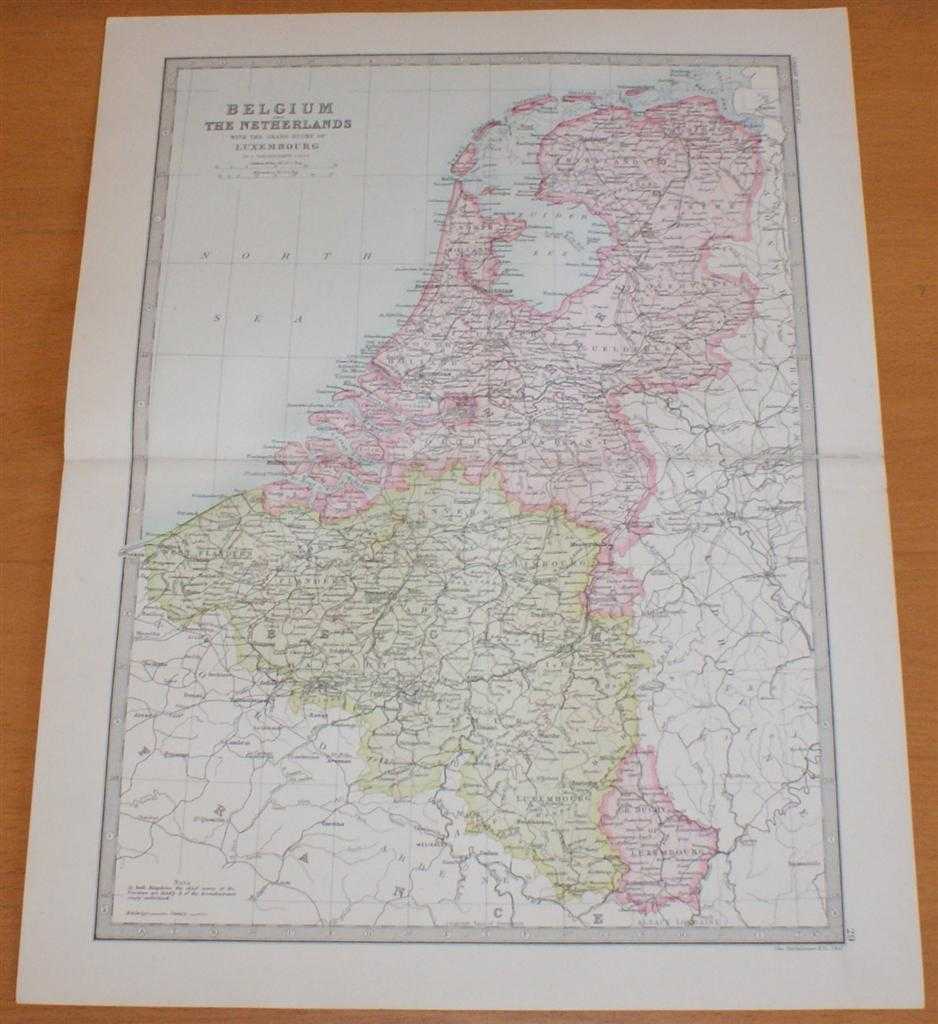
Map of Belgium and The Netherlands (Holland) with the Grand Duchy of Luxembourg - Sheet 29 disbound from the 1890 'The Library Reference Atlas of the World'
John Bartholomew · 1890
£34.00 (€40.75 | $44.88 | ¥7,157)
Macmillan and Co. London, 1890. First Edition, Softcover. Very Good Condition/No Dust Jacket. Single disbound coloured map sheet, from John Bartholomew's Library Reference Atlas, covering the British Isles, the North Sea or German Ocean and parts of neighboring Europe. Suitabl...

Map of France and Switzerland (including Corsica) - Sheet 30 disbound from the 1890 'The Library Reference Atlas of the World'
John Bartholomew · 1890
£36.00 (€43.15 | $47.52 | ¥7,578)
Macmillan and Co. London, 1890. First Edition, Softcover. Very Good Condition/No Dust Jacket. Single disbound coloured map sheet, from John Bartholomew's Library Reference Atlas, covering France, Switzerland, Corsica and the Channel Islands. Suitable for framing. Approx size 3...

Plans of European Towns; London, Paris, Vienna, St. Petersburg, Berlin, Rome etc. (including railway lines) - Sheet 31 disbound from the 1890 'The Library Reference Atlas of the World'
John Bartholomew · 1890
£36.00 (€43.15 | $47.52 | ¥7,578)
Macmillan and Co. London, 1890. First Edition, Softcover. Very Good Condition/No Dust Jacket. Single disbound coloured map sheet, from John Bartholomew's 1890 Library Reference Atlas. Suitable for framing. Approx size 35 x 46cm, vertical centre fold. Sheet is divided into 8 pa...

Map of California, Nevada, Oregon, Washington, Idaho, Utah, Arizona and part of Montana - Sheet 74, Pacific States of USA, disbound from the 1890 'The Library Reference Atlas of the World'
John Bartholomew · 1890
£32.00 (€38.35 | $42.24 | ¥6,736)
Macmillan and Co. London, 1890. First Edition, Softcover. Very Good Condition/No Dust Jacket. Single disbound coloured map sheet, from John Bartholomew's Library Reference Atlas, covering part of the United States of America. Suitable for framing. Approx size 46 x 35 cm, horiz...
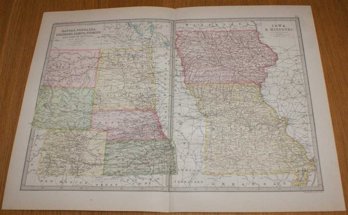
Map of Kansas, Nebraska, Colorado, Dakota, Wyoming, Iowa and Missouri - Sheet 73 (part of USA) Disbound from the 1890 'The Library Reference Atlas of the World'
John Bartholomew · 1890
£32.00 (€38.35 | $42.24 | ¥6,736)
Macmillan and Co. London, 1890. First Edition, Softcover. Very Good Condition/No Dust Jacket. Single disbound coloured map sheet, from John Bartholomew's Library Reference Atlas, covering part of the United States of America. Suitable for framing. Approx size 35 x 46 cm, verti...
Map of Michigan, Wisconsin and Minnesota - Sheet 72 (part of USA) Disbound from the 1890 'The Library Reference Atlas of the World'
John Bartholomew · 1890
£32.00 (€38.35 | $42.24 | ¥6,736)
Macmillan and Co. London, 1890. First Edition, Softcover. Very Good Condition/No Dust Jacket. Single disbound coloured map sheet, from John Bartholomew's Library Reference Atlas, covering part of the United States of America. Suitable for framing. Approx size 35 x 46 cm, verti...

Map of Tennessee, Georgia, Mississippi, Louisiana, Alabama, Arkansas and the Northern part of Florida - Sheet 70 (part of USA) Disbound from the 1890 'The Library Reference Atlas of the World'
John Bartholomew · 1890
£32.00 (€38.35 | $42.24 | ¥6,736)
Macmillan and Co. London, 1890. First Edition, Softcover. Very Good Condition/No Dust Jacket. Single disbound coloured map sheet, from John Bartholomew's Library Reference Atlas, covering part of the United States of America. Suitable for framing. Approx size 35 x 46 cm, verti...
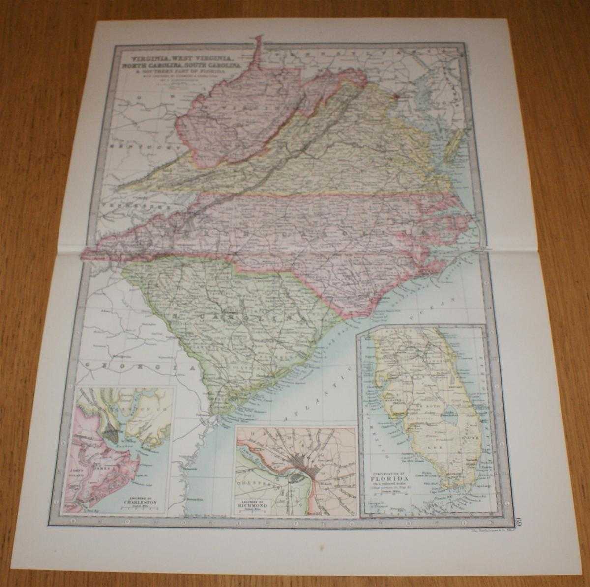
Map of Virginia, West Virginia, North Carolina, South Carolina and the Southern part of Florida with inset plans showing Environs of Charleston and Richmond - Sheet 69, (part of USA), disbound from the 1890 'The Library Reference Atlas of the World'
John Bartholomew · 1890
£32.00 (€38.35 | $42.24 | ¥6,736)
Macmillan and Co. London, 1890. First Edition, Softcover. Very Good Condition/No Dust Jacket. Single disbound coloured map sheet, from John Bartholomew's Library Reference Atlas, covering part of the United States of America. Suitable for framing. Approx size 46 x 35 cm, horiz...