
Bailgate Books Ltd
Libri
8001 libri di Bailgate Books Ltd

Map of the River Systems of America with additional inset maps of the Niagara, Mississippi, Orinoca, Casiquiare and Negro Rivers
Alexander Keith Johnston · 1848
£32.00 (€38.36 | $42.28 | ¥6,749)
Map William Blackwood & Sons, Edinburgh and London, 1848. First Edition, Softcover, Illustrated by: Engraved by W & A K Johnston. Very Good Condition/No Dust Jacket. Disbound map with one sheet of accompanying notes from "The Physical Atlas, A Series of Maps & Notes Illustrati...
Map of the River Systems of Asia & Europe - Volga, Ganges, Danube, Elbe, Rhine, Rhone & Clyde
Alexander Keith Johnston · 1848
£32.00 (€38.36 | $42.28 | ¥6,749)
Map William Blackwood & Sons, Edinburgh and London, 1848. First Edition, Softcover, Illustrated by: Engraved by W & A K Johnston. Very Good Condition/No Dust Jacket. Disbound map with one sheet of accompanying notes from "The Physical Atlas, A Series of Maps & Notes Illustrati...
Tidal Chart of the British Seas. Showing the Progress of the Wave of High Water, the Hour of High Water in Greenwich Time at New and Full Moon; and the Depth of the Sea
Alexander Keith Johnston · 1848
£34.00 (€40.75 | $44.92 | ¥7,171)
Map William Blackwood & Sons, Edinburgh and London, 1848. First Edition, Softcover, Illustrated by: Engraved by W & A K Johnston. Very Good Condition/No Dust Jacket. Disbound map with single sheet with further map and accompanying notes from "The Physical Atlas, A Series of Ma...

Physical Chart of the Pacific Ocean or the Great Sea (Mare Pacifico). Showing the Currents and Temperature of the Ocean, the Trade Routes &c.
Alexander Keith Johnston · 1848
£32.00 (€38.36 | $42.28 | ¥6,749)
Map William Blackwood & Sons, Edinburgh and London, 1848. First Edition, Softcover, Illustrated by: Engraved by W & A K Johnston. Very Good Condition/No Dust Jacket. Disbound map with one sheet of accompanying notes from "The Physical Atlas, A Series of Maps & Notes Illustrati...

Map showing Mountain Chains of South America inc. Quito and Bolivia
Alexander Keith Johnston · 1848
£32.00 (€38.36 | $42.28 | ¥6,749)
Map William Blackwood & Sons, Edinburgh and London, 1848. First Edition, Softcover, Illustrated by: Engraved by W & A K Johnston. Very Good Condition/No Dust Jacket. Disbound map with one sheet of accompanying notes from "The Physical Atlas, A Series of Maps & Notes Illustrati...

Mountain Chains in Asia & Europe inc. Luzon, Java and Reguain
Alexander Keith Johnston · 1848
£32.00 (€38.36 | $42.28 | ¥6,749)
Map William Blackwood & Sons, Edinburgh and London, 1848. First Edition, Softcover, Illustrated by: Engraved by W & A K Johnston. Very Good Condition/No Dust Jacket. Disbound map with one sheet of accompanying notes from "The Physical Atlas, A Series of Maps & Notes Illustrati...
Map of the Mountain Systems of Europe, Constructed on the Basis of Contour Lines
Alexander Keith Johnston · 1848
£32.00 (€38.36 | $42.28 | ¥6,749)
Map William Blackwood & Sons, Edinburgh and London, 1848. First Edition, Softcover, Illustrated by: Engraved by W & A K Johnston. Very Good Condition/No Dust Jacket. Disbound map with one sheet of accompanying notes from "The Physical Atlas, A Series of Maps & Notes Illustrati...
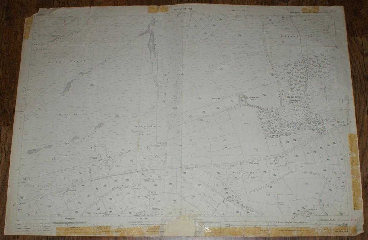
1:2,500 Ordnance Survey Map, Yorkshire (West Riding) Sheet CCLXXII.1. Edition of 1931, Re-Surveyed 1888, Revised 1929, Re-Levelled 1930, 75/31, Area Between Meltham and Holme
Ordnance Survey · 1931
£12.00 (€14.38 | $15.85 | ¥2,531)
Map Ordnance Survey, 1931. Revised Edition, Softcover. Fair Condition/No Dust Jacket. Black and white map. Map is lightly marked and smudged and has light pencil annotation. Slightly worn vertical centre fold with other creases with associated wear. Edges are slightly darkened...
1:2,500 Ordnance Survey Map, Yorkshire (West Riding) Sheet CCLXXII.4. Edition of 1932, Re-Surveyed 1888, Revised 1929, Re-Levelled 1930, 75/32 30/43, New Mill and Scholes (part) with Area to East
Ordnance Survey · 1932
£15.00 (€17.98 | $19.82 | ¥3,164)
Map Ordnance Survey, 1932. Revised Edition, Softcover. Good Condition/No Dust Jacket. Black and white map. Map is worn and slightly darkened and marked with additional darkening to edges and particularly the corners. One main vertical and horizontal fold. Both folds are worn a...
1:2,500 Ordnance Survey Map, Yorkshire (West Riding) Sheet CCLXXII.10. Second Edition 1905, Re-Surveyed 1887, Revised 1904, 50/38, Holme (part) & Area to S/E inc. Ramsden
Ordnance Survey · 1905
£15.00 (€17.98 | $19.82 | ¥3,164)
Map Ordnance Survey, 1905. Revised Edition, Softcover. Good Condition/No Dust Jacket. Black and white map. Wear and slight darkening to edges with tape marks down right hand edge. Several small tears, none of which extend beyond the margins. Central vertical fold is a little w...
1:2,500 Ordnance Survey Map, Yorkshire (West Riding) and Cheshire, Sheets CCLXXII.11 and II.11. (part), Second Edition 1905, Surveyed 1887 and 1872, Revised 1904 and 1896, 30/32 50/42, Moor Land Area N/W of Holme
Ordnance Survey · 1905
£15.00 (€17.98 | $19.82 | ¥3,164)
Map Ordnance Survey, 1905. Revised Edition, Softcover. Good Condition/No Dust Jacket. Black and white map. Map area almost clean with only faint smudges. Edges slightly darkened and worn with one tape strip on upper edge. One vertical fold (not central) with other light creasi...
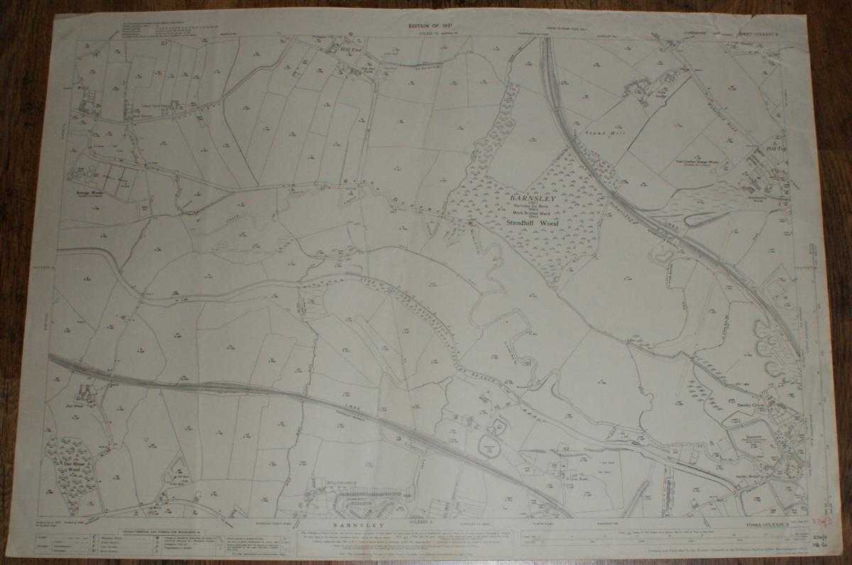
1:2,500 Ordnance Survey Map, Yorkshire (West Riding) Sheet CCLXXIV.3. Edition of 1931, Re-Surveyed 1891, Revised 1929, Re-Levelled 1930, Area North of Barnsley, Wilthorpe, Hill Top (part) & Hill End (part)
Ordnance Survey · 1931
£15.00 (€17.98 | $19.82 | ¥3,164)
Map Ordnance Survey, 1931. Revised Edition, Softcover. Good Condition/No Dust Jacket. Black and white map. Map is clean with slight wear and darkening to edges. Top right corner is torn and creased. Three vertical creases (all of which are slightly diagonal) but no formal cent...
1:2,500 Ordnance Survey Map, Yorkshire (North Riding) Sheet LIV.8. Edition of 1913, Re-Surveyed 1891, Revised 1911, Re-Levelled 1910, 30/25, Area SE of Catterick (now RAF Catterick) with South Ellerton and River Swale
Ordnance Survey · 1913
£15.00 (€17.98 | $19.82 | ¥3,164)
Map Ordnance Survey, 1913. Revised Edition, Softcover. Good Condition/No Dust Jacket. Black and white map. Map is has light smudges and small red/pink marks. There are three vertical creases with a diagonal crease across the top right corner. Edges are worn with slight darkeni...

1:2,500 Ordnance Survey Map, Yorkshire (North Riding) Sheet CVI.7. Edition of 1911, Re-Surveyed 1890, Revised 1910, 30/41, Area West of Brawby with River Rye
Ordnance Survey · 1911
£12.00 (€14.38 | $15.85 | ¥2,531)
Map Ordnance Survey, 1911. Revised Edition, Softcover. Good Condition/No Dust Jacket. Black and white map. Map is smudged and marked, particularly down the two vertical edges. The left hand edge is further affected with a darkened strip down the full vertical length of the she...
1:2,500 Ordnance Survey Map, Yorkshire (West Riding) Sheet CCLXXIV.1. Edition of 1931, Re-Surveyed 1891, Revised 1929, Re-Levelled 1930, Cawthorne and Area to NE
Ordnance Survey · 1931
£15.00 (€17.98 | $19.82 | ¥3,164)
Map Ordnance Survey, 1931. Revised Edition, Softcover. Good Condition/No Dust Jacket. Black and white map. Map is clean with light crumpling. Vertical centre fold with associated creasing and further vertical fold and creasing close to left edge. Right edge has filing strip ad...

1:2,500 Ordnance Survey Map, Yorkshire (West Riding) Sheet CCLXXIV.2. Edition of 1931, Re-Surveyed 1891, Revised 1929, Re-Levelled 1930, 100/31, Barugh with Low Barugh and Barugh Green
Ordnance Survey · 1931
£20.00 (€23.97 | $26.42 | ¥4,218)
Map Ordnance Survey, 1931. Revised Edition, Softcover. Good Condition/No Dust Jacket. Black and white map. Map is almost clean with very faint marks and very slight darkening to edges. Right hand edge is worn and has slight smudging and light brown speckling. Bottom right corn...
1:2,500 Ordnance Survey Map, Yorkshire (West Riding) Sheet CCLXXXI.3. Edition of 1931, Re-Surveyed 1891, Revised 1929, Re-Levelled 1930, 50/31 30/38 25/45Wa, Penistone (part) and Area to SW
Ordnance Survey · 1931
£15.00 (€17.98 | $19.82 | ¥3,164)
Map Ordnance Survey, 1931. Revised Edition, Softcover. Good Condition/No Dust Jacket. Black and white map. Map is very lightly marked with slight darkening and wear to edges. Three vertical folds or creases with some associated creasing. Handwritten firgures in bottom right co...
1:2,500 Ordnance Survey Map, Durham, Sheet XLII.11. Edition of 1897, Surveyed 1856, Revised 1896, 20/16, Shildon and New Shildon
Ordnance Survey · 1897
£22.00 (€26.37 | $29.07 | ¥4,640)
Map Ordnance Survey, 1897. Revised Edition, Softcover. Fair Condition/No Dust Jacket. Black and white map. Map is marked, smudged and darkened and has some faint pencil annotations. Edges are darkened and have adhesive fabric tape which is fraying and deteriorated in places. R...

1:2,500 Ordnance Survey Map, Durham, Sheet XLII.2. Edition of 1897, Surveyed 1856, Revised 1896, 50/07, Bishop Auckland and Area to West with Escomb (part) and Etherley Dene
Ordnance Survey · 1897
£25.00 (€29.97 | $33.03 | ¥5,273)
Map Ordnance Survey, 1897. Revised Edition, Softcover. Fair Condition/No Dust Jacket. Coloured map. Map is marked, smudged and darkened. Edges are slightly darker and are worn and in places torn. Three vertical folds and one horizontal fold. Folds are fragile, worn and rubbed,...
1:2,500 Ordnance Survey Map, Yorkshire (North Riding) Sheet LIV.4. Edition of 1913, Re-Surveyed 1891, Revised 1912, Re-Levelled 1910, 25/23, Catterick (part) and Area to NE with Bolton upon Swale and North Ellerton
Ordnance Survey · 1913
£15.00 (€17.98 | $19.82 | ¥3,164)
Map Ordnance Survey, 1913. Revised Edition, Softcover. Good Condition/No Dust Jacket. Black and white map. Map is lightly marked with slightly darkened edges. Edges are slightly worn with some small tears which do not extend beyond the margins. No formal fold but light vertica...