
Bailgate Books Ltd
Libri
495 libri di Bailgate Books Ltd
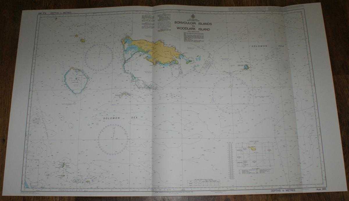
Nautical Chart No. AUS 383 Papua New Guinea - North East Coast, Bonvouloir Islands to Woodlark Islands
Admiralty · 2005
£26.00 (€31.17 | $34.28 | ¥5,466)
Admiralty, 2005. Revised Edition, Softcover. Very Good Condition/No Dust Jacket. Crisp and clean colour chart with two vertical folds. Nautical Chart No. AUS 383 Papua New Guinea - North East Coast, Bonvouloir Islands to Woodlark Islands. Copyright 1996 and with small correcti...
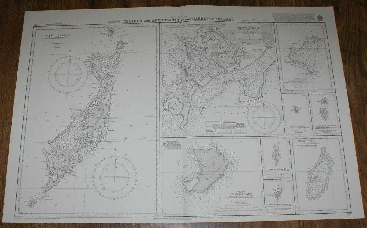
Nautical Chart No. 977 Pacific Ocean - Islands and Anchorages in the Caroline Islands
Admiralty · 2000
£26.00 (€31.17 | $34.28 | ¥5,466)
Admiralty, 2000. Revised Edition, Softcover. Very Good Condition/No Dust Jacket. Crisp and clean colour chart with single vertical fold. Nautical Chart No. 977 Pacific Ocean - Islands and Anchorages in the Caroline Islands. Copyright 1977 with small corrections to 2000. Sheet ...
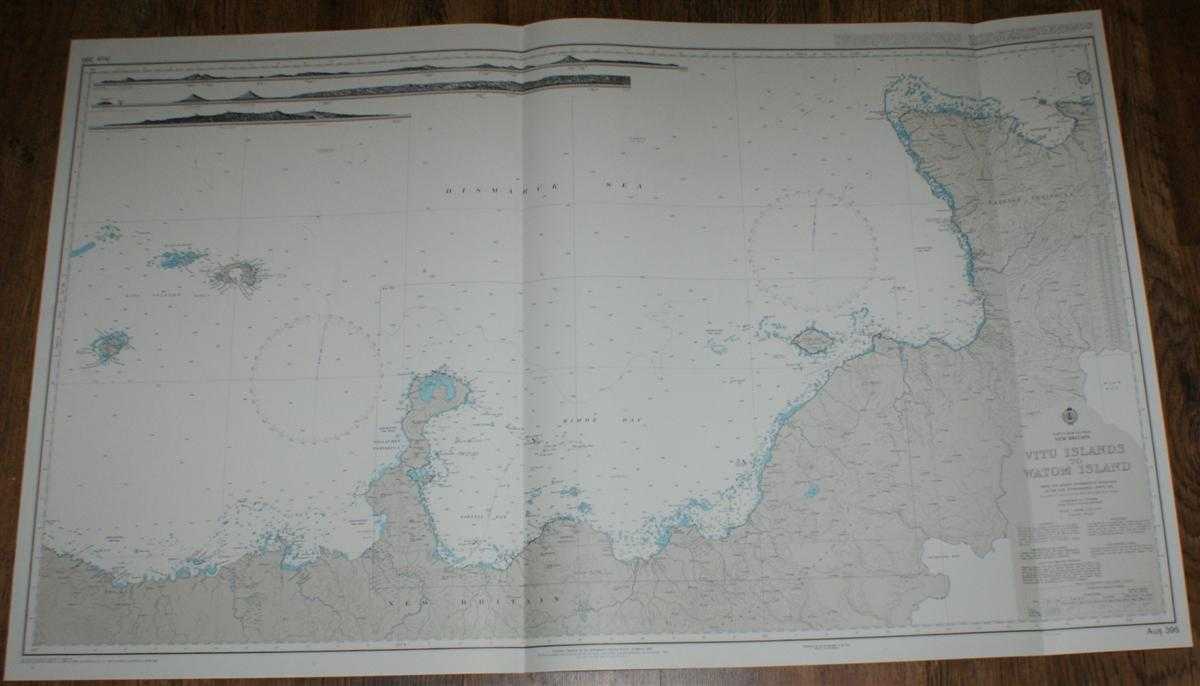
Nautical Chart No. AUS 395 Papua New Guinea - New Britain, Vitu Islands to Watom Island
Admiralty · 2005
£26.00 (€31.17 | $34.28 | ¥5,466)
Admiralty, 2005. Revised Edition, Softcover. Very Good Condition/No Dust Jacket. Crisp and clean colour chart with two vertical folds. Nautical Chart No. AUS 395 Papua New Guinea - New Britain, Vitu Islands to Watom Island. Copyright 1992 with small corrections to 2005. Scale ...
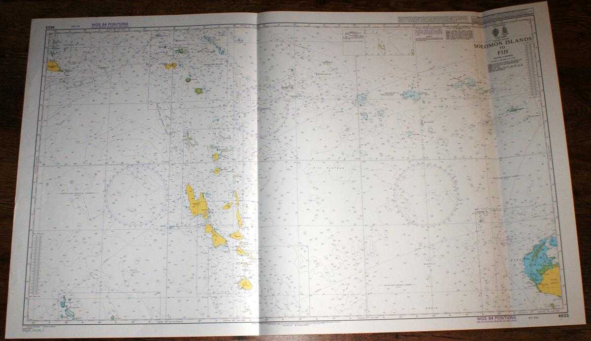
Nautical Chart No. 4633 Pacific Ocean - Soloman Islands to Fiji including Vanuatu
Admiralty · 2003
£26.00 (€31.17 | $34.28 | ¥5,466)
Admiralty, 2003. Revised Edition, Softcover. Very Good Condition/No Dust Jacket. Crisp and clean colour chart with two vertical folds. Nautical Chart No. 4633 Pacific Ocean - Soloman Islands to Fiji. 2003 edition of 1997 publication. Scale 1:1,500,000. Area Covered: Solomon Is...
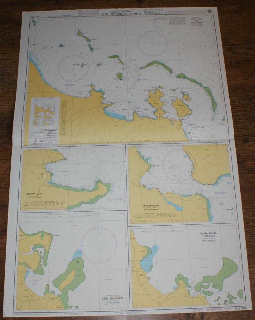
Nautical Chart No. AUS 683 South Pacific Ocean, Plans on the East Coast Bougainville Island
Admiralty · 2005
£26.00 (€31.17 | $34.28 | ¥5,466)
Admiralty, 2005. Revised Edition, Softcover. Very Good Condition/No Dust Jacket. Crisp and clean colour chart with single horizontal fold. Nautical Chart No. AUS 683 South Pacific Ocean, Plans on the East Coast Bougainville Island. Copyright 1999 with small corrections to 2005...
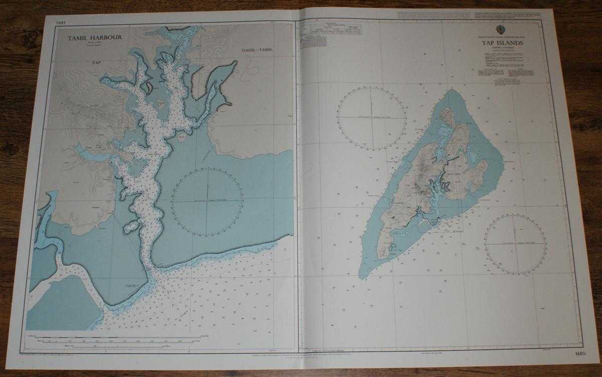
Nautical Chart No. 1485 North Pacific Ocean - Caroline Islands, Yap Islands
Admiralty · 2003
£26.00 (€31.17 | $34.28 | ¥5,466)
Admiralty, 2003. Revised Edition, Softcover. Very Good Condition/No Dust Jacket. Crisp and clean colour chart with single vertical fold. Nautical Chart No. 1485 North Pacific Ocean - Caroline Islands, Yap Islands. Copyright 1987 with small corrections to 2003. Sheet is divided...
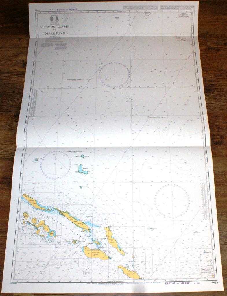
Nautical Chart No. 4623 Pacific Ocean - Solomon Islands to Kosrae Island
Admiralty · 1998
£26.00 (€31.17 | $34.28 | ¥5,466)
Admiralty, 1998. Revised Edition, Softcover. Very Good Condition/No Dust Jacket. Crisp and clean colour chart with two horizontal folds. Nautical Chart No. 4623 Pacific Ocean - Solomon Islands to Kosrae Island. Copyright 1998. Scale 1:1,500,00. Area Covered: Solomon Islands, N...

Nautical Chart No. 1735 South Pacific Ocean, Solomon Islands, Plans in the New Georgia Group
Admiralty · 1999
£26.00 (€31.17 | $34.28 | ¥5,466)
Admiralty, 1999. Revised Edition, Softcover. Very Good Condition/No Dust Jacket. Crisp and clean colour chart with two vertical folds. Nautical Chart No. 1735 South Pacific Ocean, Solomon Islands, Plans in the New Georgia Group. Copyright 1980 with small corrections to 1999. S...
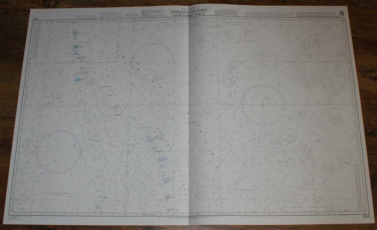
Nautical Chart No. 3552 North Pacific Ocean - Mariana Islands (Northern Part)
Admiralty · 2003
£26.00 (€31.17 | $34.28 | ¥5,466)
Admiralty, 2003. Revised Edition, Softcover. Very Good Condition/No Dust Jacket. Crisp and clean colour chart with single vertical fold. Nautical Chart No. 3552 North Pacific Ocean - Mariana Islands (Northern Part). 2003 edition of 1991 publication. Scale 1:1,500,000. Area Cov...
Nautical Chart No. 1750 South Pacific Ocean - Solomon Islands, Anchorages in Guadalcanal Island
Admiralty · 2004
£26.00 (€31.17 | $34.28 | ¥5,466)
Admiralty, 2004. Revised Edition, Softcover. Very Good Condition/No Dust Jacket. Crisp and clean colour chart with single vertical fold. Very slight wear to left and right hand edges. Nautical Chart No. 1750 South Pacific Ocean - Solomon Islands, Anchorages in Guadalcanal Isla...
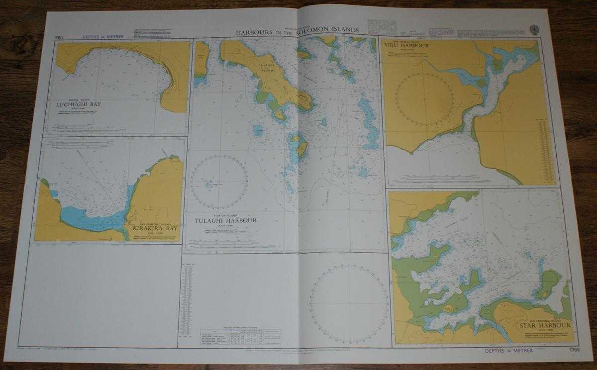
Nautical Chart No. 1766 South Pacific Ocean - Harbours in the Solomon Islands
Admiralty · 2004
£26.00 (€31.17 | $34.28 | ¥5,466)
Admiralty, 2004. Revised Edition, Softcover. Very Good Condition/No Dust Jacket. Crisp and clean colour chart with single vertical fold. Nautical Chart No. 1766 South Pacific Ocean - Harbours in the Solomon Islands. Copyright 1978 with small corrections to 2004. Sheet contains...
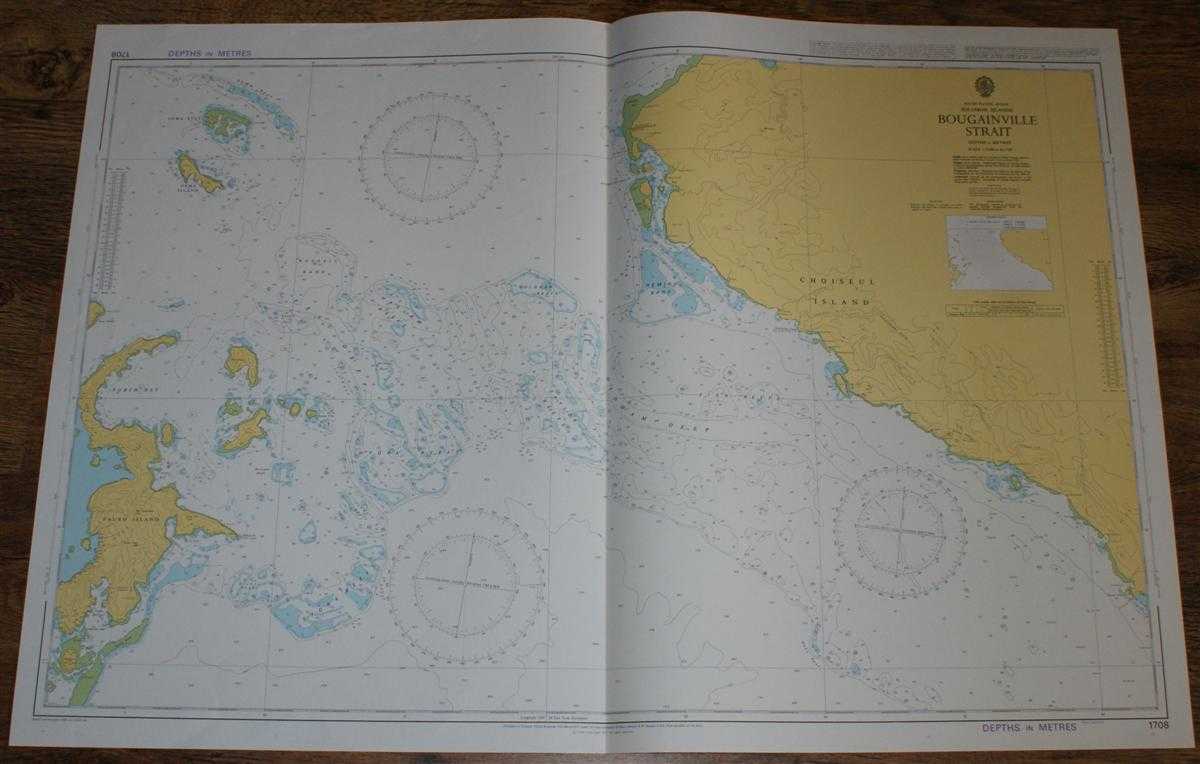
Nautical Chart No. 1708 South Pacific Ocean - Solomon Islands, Bougainville Strait
Admiralty · 2004
£26.00 (€31.17 | $34.28 | ¥5,466)
Admiralty, 2004. Revised Edition, Softcover. Very Good Condition/No Dust Jacket. Crisp and clean colour chart with single vertical fold. Nautical Chart No. 1708 South Pacific Ocean - Solomon Islands, Bougainville Strait. Copyright 1977 with small corrections to 2004. Scale 1:7...
Nautical Chart No. 3996 South Pacific Ocean - Solomon Islands, Santa Isabel Island to Guadalcanal Island
Admiralty · 2003
£26.00 (€31.17 | $34.28 | ¥5,466)
Admiralty, 2003. Revised Edition, Softcover. Very Good Condition/No Dust Jacket. Crisp and clean colour chart with single horizontal fold. Nautical Chart No. 3996 South Pacific Ocean - Solomon Islands, Santa Isabel Island to Guadalcanal Island. Copyright 1998 with small correc...
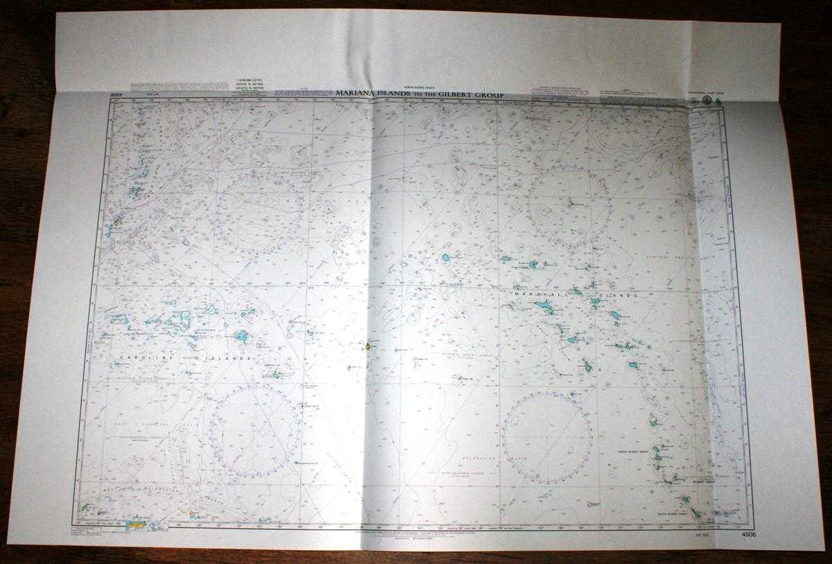
Nautical Chart No. 4506 North Pacific Ocean, Mariana Islands to the Gilbert Group
Admiralty · 2005
£26.00 (€31.17 | $34.28 | ¥5,466)
Admiralty, 2005. Revised Edition, Softcover. Very Good Condition/No Dust Jacket. Crisp and clean colour chart with one horizontal and two vertical folds. Slight crinkling to top edge. Nautical Chart No. Nautical Chart No. 4506 North Pacific Ocean, Mariana Islands to the Gilber...
Nautical Chart No. 221 Mediterranean Sea, Greece - Korinthiakos Kolpos, Krissaios Kolpos (Ormos Iteas)
Admiralty · 1960
£22.00 (€26.38 | $29.01 | ¥4,625)
Map Admiralty, 1960. Revised Edition, Softcover. Good Condition/No Dust Jacket. Colour chart with no fold. Edges and corners are slightly bumped. Chart has small stains on the left hand edge and has faint red rub marks in the right hand portion. Nautical Chart No. 221 Mediterr...