
Bailgate Books Ltd
Libri
495 libri di Bailgate Books Ltd

Nautical Chart No. 762 North Pacific Ocean - Caroline Islands, Eastern Part
Admiralty · 2005
£26.00 (€31.17 | $34.32 | ¥5,464)
Map Admiralty, 2005. Revised Edition, Softcover. Very Good Condition/No Dust Jacket. Crisp and clean colour chart with single vertical fold. Sheet is slightly crinkled along the top edge and very lightly marked on reverse. Nautical Chart No. 762 North Pacific Ocean - Caroline ...
Nautical Chart No. 763 North Pacific Ocean, Caroline Islands - Western Part
Admiralty · 2005
£26.00 (€31.17 | $34.32 | ¥5,464)
Map Admiralty, 2005. Revised Edition, Softcover. Very Good Condition/No Dust Jacket. Crisp and clean colour chart with single vertical fold. Nautical Chart No. 763 North Pacific Ocean, Caroline Islands - Western Part. 2002 edition of 1990 publication with notices to 2005. Scal...
Nautical Chart No. 2993 Central Pacific Ocean - Plans in Christmas Island
Admiralty · 1983
£26.00 (€31.17 | $34.32 | ¥5,464)
Map Admiralty, 1983. Revised Edition, Softcover. Very Good Condition/No Dust Jacket. Crisp and clean black and white chart with no folds. Nautical Chart No. 2993 Central Pacific Ocean - Plans in Christmas Island. Copyright 1963 with small corrections to 1983. Sheet contains tw...
Nautical Chart No. AUS 462 Pacific Ocean - Bismarck Archipelago, North Cape, New Ireland to Wuvulu Island
Admiralty · 2005
£26.00 (€31.17 | $34.32 | ¥5,464)
Map Admiralty, 2005. Revised Edition, Softcover. Very Good Condition/No Dust Jacket. Crisp and clean colour chart with two vertical folds. Nautical Chart No. AUS 462 Pacific Ocean - Bismarck Archipelago, North Cape, New Ireland to Wuvulu Island. Copyright 1993 with small corre...
Nautical Chart No. AUS 519 Papua New Guinea - North East Coast, Ward Hunt Strait to Star Reefs Passage
Admiralty · 2005
£26.00 (€31.17 | $34.32 | ¥5,464)
Map Admiralty, 2005. Revised Edition, Softcover. Very Good Condition/No Dust Jacket. Crisp and clean colour chart with two horizontal folds. Small "Reef and Shoal Delimitation" notice pasted to sheet under title block. Nautical Chart No. AUS 519 Papua New Guinea - North East C...
Nautical Chart No. AUS 387 South Pacific Ocean - Papua New Guinea, Vitiaz Strait to Isumrud Strait
Admiralty · 2005
£26.00 (€31.17 | $34.32 | ¥5,464)
Map Admiralty, 2005. Revised Edition, Softcover. Very Good Condition/No Dust Jacket. Crisp and clean colour chart with single vertical fold. Nautical Chart No. AUS 387 South Pacific Ocean - Papua New Guinea, Vitiaz Strait to Isumrud Strait. Copyright 1992 with small correction...
Nautical Chart No. AUS 389 Papua New Guinea - North Coast, Kairiru Island to Vanimo Harbour
Admiralty · 2005
£26.00 (€31.17 | $34.32 | ¥5,464)
Map Admiralty, 2005. Revised Edition, Softcover. Very Good Condition/No Dust Jacket. Crisp and clean colour chart with single vertical fold. Nautical Chart No. 389 Papua New Guinea - North Coast, Kairiru Island to Vanimo Harbour. Copyright 1969 with small corrections to 2005. ...
Nautical Chart No. AUS 388 Papua New Guinea - North Coast, Karkar Island to Kairiru Island
Admiralty · 2005
£26.00 (€31.17 | $34.32 | ¥5,464)
Map Admiralty, 2005. Revised Edition, Softcover. Very Good Condition/No Dust Jacket. Crisp and clean colour chart with two vertical folds. Nautical Chart No. 388 Papua New Guinea - North Coast, Karkar Island to Kairiru Island. Copyright 1991 with small corrections to 2005. Sca...
Nautical Chart No. AUS 397 Papua New Guinea - Gazelle Peninsula and St. Georges Channel
Admiralty · 2005
£26.00 (€31.17 | $34.32 | ¥5,464)
Map Admiralty, 2005. Revised Edition, Softcover. Very Good Condition/No Dust Jacket. Crisp and clean colour chart with single vertical fold. Nautical Chart No. AUS 397 Papua New Guinea - Gazelle Peninsula and St. Georges Channel. Copyright 1993 with small corrections to 2005. ...
Nautical Chart No. AUS 399 South Pacific Ocean - Bougainville Island
Admiralty · 2005
£26.00 (€31.17 | $34.32 | ¥5,464)
Map Admiralty, 2005. Revised Edition, Softcover. Very Good Condition/No Dust Jacket. Crisp and clean colour chart with two horizontal folds. Nautical Chart No. AUS 399 South Pacific Ocean - Bougainville Island. Copyright 1999 with small corrections to 2005. Scale 1:300,000. Ar...
Nautical Chart No. 2062 India - East Coast, False Divi Pt. to Kakinada
Admiralty · 2000
£28.00 (€33.57 | $36.96 | ¥5,884)
Admiralty, 2000. Revised Edition, Softcover. Very Good Condition/No Dust Jacket. Crisp and clean colour chart with two vertical folds. Nautical Chart No. 2062 India - East Coast, False Divi Pt. to Kakinada. Copyright 1978 with small corrections to 2000. Scale 1:300,000. Area C...
Nautical Chart No. 3250 New Guinea - North Coast, Tanjong Narwaku (Cape D'Urville) to Wuvulu Island
Admiralty · 2005
£28.00 (€33.57 | $36.96 | ¥5,884)
Admiralty, 2005. Revised Edition, Softcover. Very Good Condition/No Dust Jacket. Crisp and clean colour chart with two vertical folds. Nautical Chart No. 3250 New Guinea - North Coast, Tanjong Narwaku (Cape D'Urville) to Wuvulu Island. Copyright 1972 with small corrections to ...
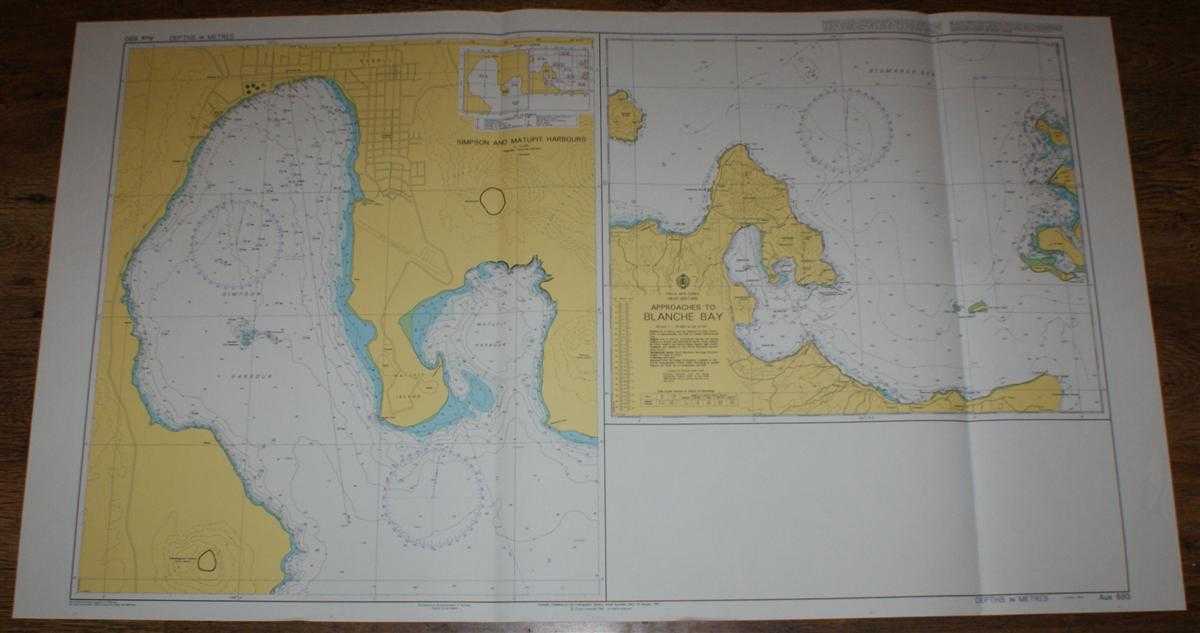
Nautical Chart No. AUS 680 Papua New Guinea, New Britain, Approaches to Blanche Bay and Simpson and Matupit Harbours
Admiralty · 2005
£28.00 (€33.57 | $36.96 | ¥5,884)
Admiralty, 2005. Revised Edition, Softcover. Very Good Condition/No Dust Jacket. Crisp and clean colour chart with two vertical folds. Nautical Chart No. AUS 680 Papua New Guinea, New Britain, Approaches to Blanche Bay and Simpson and Matupit Harbours. Copyright 1997 with smal...
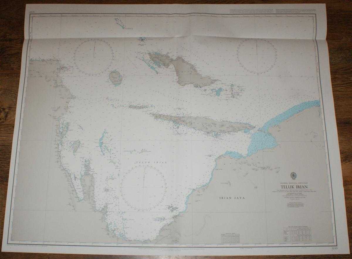
Nautical Chart No. 3249 Indonesia - Irian Jaya - North Coast, Teluk Irian
Admiralty · 1998
£28.00 (€33.57 | $36.96 | ¥5,884)
Admiralty, 1998. Revised Edition, Softcover. Very Good Condition/No Dust Jacket. Crisp and clean colour chart with vertical centre fold and horizontal fold near upper edge. Top edge is very slightly creased. Nautical Chart No. 3249 Indonesia - Irian Jaya - North Coast, Teluk I...

Nautical Chart No. 1398 Andaman Islands, Southern Approaches to Port Blair including Duncan Passage
Admiralty · 2000
£28.00 (€33.57 | $36.96 | ¥5,884)
Admiralty, 2000. Revised Edition, Softcover. Very Good Condition/No Dust Jacket. Crisp and clean colour chart with two vertical folds. Nautical Chart No.1398 Andaman Islands, Southern Approaches to Port Blair including Duncan Passage. Copyright 1996 with small corrections to 2...

Nautical Chart No. 952 Japan, Honshu - South Coast, Miki Saki to Omae Saki Including Ise Wan
Admiralty · 1997
£28.00 (€33.57 | $36.96 | ¥5,884)
Admiralty, 1997. Revised Edition, Softcover. Very Good Condition/No Dust Jacket. Crisp and clean colour chart with single vertical fold. Left and right hand edges are very slightly creased. Very slight crease to bottom of centre fold. Nautical Chart No. 952 Japan, Honshu - Sou...
Nautical Chart No. 951 Japan, Shikoku - East Coast and Honshu - South Coast, Muroto Saki to Miki Saki including Kii Suido
Admiralty · 1997
£28.00 (€33.57 | $36.96 | ¥5,884)
Admiralty, 1997. Revised Edition, Softcover. Very Good Condition/No Dust Jacket. Crisp colour chart with two vertical folds. Some minor annotations or bearings in faint pencil but otherwise clean. Nautical Chart No. 951 Japan, Shikoku - East Coast and Honshu - South Coast, Mur...

Nautical Chart No. 953 Japan, Honshu - South Coast, Omae Saki to Tokyo Wan
Admiralty · 1997
£28.00 (€33.57 | $36.96 | ¥5,884)
Admiralty, 1997. Revised Edition, Softcover. Very Good Condition/No Dust Jacket. Crisp and clean colour chart with single vertical fold. Very slight creasing to bottom of centre fold. Nautical Chart No. 953 Japan, Honshu - South Coast, Omae Saki to Tokyo Wan. Copyright 1981 an...

Nautical Chart No. 954 Japan, Honshu - South Coast, Approaches to Uraga Suido
Admiralty · 1997
£28.00 (€33.57 | $36.96 | ¥5,884)
Admiralty, 1997. Revised Edition, Softcover. Very Good Condition/No Dust Jacket. Crisp and clean colour chart with single vertical fold. Slight creasing to left and right hand edges and down the centre. Three very faint pencil bearing lines. Nautical Chart No. 954 Japan, Honsh...

Nautical Chart No. 1100 Japan - Ogasawara Gunto, Chichishima Retto
Admiralty · 1995
£28.00 (€33.57 | $36.96 | ¥5,884)
Admiralty, 1995. Revised Edition, Softcover. Very Good Condition/No Dust Jacket. Crisp and clean colour chart with no formal fold. Nautical Chart No. 1100 Japan - Ogasawara Gunto, Chichishima Retto. Copyright 1982 and printed 1995, with small corrections to 1990. Sheet contain...