
Bailgate Books Ltd
Libri
495 libri di Bailgate Books Ltd

Plan of Ancient Rome - disbound sheet from 1857 "University Atlas"
Edward Stanford, W. B. Clarke · 1857
£34.00 (€40.76 | $44.88 | ¥7,145)
Edward Stanford, London, 1857. First Edition, Softcover. Good Condition/No Dust Jacket. Disbound single Sheet Map with vertical centre fold from "The University Atlas of Classical and Modern Geography, including all the Recent Geographical Discoveries". Sheet is lightly foxed ...

Map of Ancient Egypt - disbound sheet from 1857 "University Atlas"
Edward Stanford, G. Long · 1857
£28.00 (€33.57 | $36.96 | ¥5,884)
Edward Stanford, London, 1857. First Edition, Softcover. Good Condition/No Dust Jacket. Disbound single Sheet Map with horizontal centre fold from "The University Atlas of Classical and Modern Geography, including all the Recent Geographical Discoveries". Sheet is lightly foxe...

Map of Oriens (Modern Day Iran) - disbound sheet from 1857 "University Atlas"
Edward Stanford, George Welland · 1857
£26.00 (€31.17 | $34.32 | ¥5,464)
Edward Stanford, London, 1857. First Edition, Softcover. Good Condition/No Dust Jacket. Disbound single Sheet Map with vertical centre fold from "The University Atlas of Classical and Modern Geography, including all the Recent Geographical Discoveries". Sheet is lightly foxed ...

Map of Ancient Syria - disbound sheet from 1857 "University Atlas"
Edward Stanford, W. Hughes · 1857
£26.00 (€31.17 | $34.32 | ¥5,464)
Edward Stanford, London, 1857. First Edition, Softcover. Good Condition/No Dust Jacket. Disbound single Sheet Map with horizontal centre fold from "The University Atlas of Classical and Modern Geography, including all the Recent Geographical Discoveries". Sheet is lightly foxe...

Map of Asia Minor Antiqua - disbound sheet from 1857 "University Atlas"
Edward Stanford, William Henry Francis Plate · 1857
£26.00 (€31.17 | $34.32 | ¥5,464)
Edward Stanford, London, 1857. First Edition, Softcover. Good Condition/No Dust Jacket. Disbound single Sheet Map with vertical centre fold from "The University Atlas of Classical and Modern Geography, including all the Recent Geographical Discoveries". Sheet is lightly foxed ...

Map of Ancient Greece Southern Part - disbound sheet from 1857 "University Atlas"
Edward Stanford · 1857
£22.00 (€26.37 | $29.04 | ¥4,624)
Edward Stanford, London, 1857. First Edition, Softcover. Good Condition/No Dust Jacket. Disbound single Sheet Map with vertical centre fold from "The University Atlas of Classical and Modern Geography, including all the Recent Geographical Discoveries". Sheet is lightly foxed ...

Map of Ancient Greece Northern Part - disbound sheet from 1857 "University Atlas"
Edward Stanford · 1857
£22.00 (€26.37 | $29.04 | ¥4,624)
Edward Stanford, London, 1857. First Edition, Softcover. Good Condition/No Dust Jacket. Disbound single Sheet Map with vertical centre fold from "The University Atlas of Classical and Modern Geography, including all the Recent Geographical Discoveries". Sheet is lightly foxed ...

Map of Germania Magna, Rhaetia, Noricum and Pannonia - disbound sheet from 1857 "University Atlas"
Edward Stanford, George Welland · 1857
£26.00 (€31.17 | $34.32 | ¥5,464)
Edward Stanford, London, 1857. First Edition, Softcover. Good Condition/No Dust Jacket. Disbound single Sheet Map with vertical centre fold from "The University Atlas of Classical and Modern Geography, including all the Recent Geographical Discoveries". Sheet is lightly foxed ...
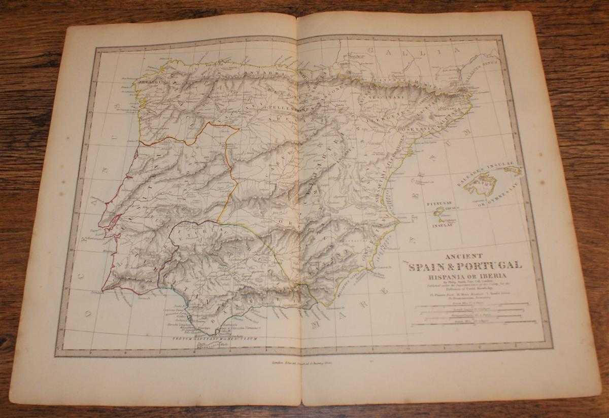
Map of Ancient Spain & Portugal (Hispania or Iberia) - disbound sheet from 1857 "University Atlas"
Edward Stanford, Drawn by Rev. Philip Smith · 1857
£26.00 (€31.17 | $34.32 | ¥5,464)
Edward Stanford, London, 1857. First Edition, Softcover. Good Condition/No Dust Jacket. Disbound single Sheet Map with vertical centre fold from "The University Atlas of Classical and Modern Geography, including all the Recent Geographical Discoveries". Sheet is very lightly f...

Map of Ancient Italy and Sicily in Three Sheets - disbound map sheets from 1857 "University Atlas"
Edward Stanford, Engraved by J & C Walker · 1857
£38.00 (€45.55 | $50.16 | ¥7,986)
Edward Stanford, London, 1857. First Edition, Softcover. Good Condition/No Dust Jacket. Three disbound map sheets, all with vertical centre folds, from "The University Atlas of Classical and Modern Geography, including all the Recent Geographical Discoveries". Sheets are light...

Map of Ancient France or Galliatransalpina - disbound sheet from 1857 "University Atlas"
Edward Stanford, Drawn by T Hewlett Key · 1857
£26.00 (€31.17 | $34.32 | ¥5,464)
Edward Stanford, London, 1857. First Edition, Softcover. Good Condition/No Dust Jacket. Disbound single Sheet Map with horizontal centre fold from "The University Atlas of Classical and Modern Geography, including all the Recent Geographical Discoveries". Sheet is lightly foxe...

Map of Ancient Britain - disbound sheet from 1857 "University Atlas"
Edward Stanford, J & C Walker · 1857
£29.00 (€34.76 | $38.28 | ¥6,095)
Edward Stanford, London, 1857. First Edition, Softcover. Good Condition/No Dust Jacket. Disbound single Sheet Map with horizontal centre fold from "The University Atlas of Classical and Modern Geography, including all the Recent Geographical Discoveries". Sheet is very lightly...

Map of The World as known to the Ancients - in Two Sheets
Edward Stanford, Drawn by Rev. Philip Smith · 1857
£36.00 (€43.16 | $47.52 | ¥7,566)
Edward Stanford, London, 1857. First Edition, Softcover. Good Condition/No Dust Jacket. Two disbound map sheets, both with horizontal centre folds, from "The University Atlas of Classical and Modern Geography, including all the Recent Geographical Discoveries". Sheets are titl...
1839 Map of the County of Herefordshire - taken from Pigot and Co's British Atlas Comprising the Counties of England (upon which are laid down all railways completed and in progress)
Pigot and Co · 1839
£28.00 (€33.57 | $36.96 | ¥5,884)
Map Pigot & Co, London and Manchester, 1839. Edition Unstated, Softcover. Very Good/No Dust Jacket. Dated from reference to British Library catalogue and title-page of atlas. This is the coloured map titled "Herefordshire" and sheet entitled "Herefordshire". The map, a hand-co...

1839 Map of the County of Somersetshire - taken from Pigot and Co's British Atlas Comprising the Counties of England (upon which are laid down all railways completed and in progress)
Pigot and Co · 1839
£28.00 (€33.57 | $36.96 | ¥5,884)
Map Pigot & Co, London and Manchester, 1839. Edition Unstated, Softcover. Very Good/No Dust Jacket. Dated from reference to British Library catalogue and title-page of atlas. This is the coloured map titled "Somersetshire" and sheet entitled "Somersetshire". The map, a hand-co...
Nautical Chart No. 3250 New Guinea - North Coast, Tanjong Narwaku (Cape D'Urville) to Wuvulu Island
Admiralty · 1997
£28.00 (€33.57 | $36.96 | ¥5,884)
Admiralty, 1997. Revised Edition, Softcover. Very Good Condition/No Dust Jacket. Crisp and clean colour chart with two vertical folds. Nautical Chart No. 3250 New Guinea - North Coast, Tanjong Narwaku (Cape D'Urville) to Wuvulu Island. Copyright 1972 with small corrections to ...
Nautical Chart No. 3537 Norway - West Coast, Nesvag to Kvassheim
Admiralty · 2005
£28.00 (€33.57 | $36.96 | ¥5,884)
Admiralty, 2005. Revised Edition, Softcover. Very Good Condition/No Dust Jacket. Clean and crisp colour chart with two vertical and one horizontal folds. Nautical Chart No. 3537 Norway - West Coast, Nesvag to Kvassheim. Published in 2003 with notices to 2005. Scale 1:50,000. A...
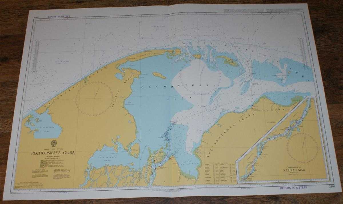
Nautical Chart No. 2961 Barents Sea - Russia, Pechorskaya Guba
Admiralty · 2005
£24.00 (€28.77 | $31.68 | ¥5,044)
Admiralty, 2005. Revised Edition, Softcover. Very Good Condition/No Dust Jacket. Crisp and clean colour chart with single vertical fold. Very small crease in bottom right hand margin and slight wear to vertical margins. Nautical Chart No. 2961 Barents Sea - Russia, Pechorskaya...

Nautical Chart No. 2967 Russia - Arctic Ocean, Approaches to Proliv Karskiye Vorota and Proliv Yugorskiy Shar
Admiralty · 2003
£28.00 (€33.57 | $36.96 | ¥5,884)
Admiralty, 2003. Revised Edition, Softcover. Near Fine Condition/No Dust Jacket. Crisp and clean colour chart with single vertical fold. Nautical Chart No. 2967 Russia - Arctic Ocean, Approaches to Proliv Karskiye Vorota and Proliv Yugorskiy Shar. Copyright 1986 with small cor...

Nautical Chart No. 275 North Sea - North West Approaches to Skagerrak, Norway
Admiralty · 2004
£24.00 (€28.77 | $31.68 | ¥5,044)
Admiralty, 2004. Revised Edition, Softcover. Very Good Condition/No Dust Jacket. Crisp and clean colour chart with two formal vertical folds. Nautical Chart No. 275 North Sea - North West Approaches to Skagerrak. 2004 edition of 1998 publication. Scale 1:200,000. Area Covered:...