
Viaggi e geografia
Letteratura di viaggio, esplorazioni, carte geografiche e topografia.
Risultati della ricerca
107384 libri in Viaggi e geografia

Militaire topografische kaarten en stadsplattegronden van Nederland 1579-1795. / Military topographical maps and town plans of the Netherlands, 1579-1795.
SCHOLTEN,F.W.J., · 1989 · Antiquariaat Goltzius
€40.25 ($44.36 | £33.57 | ¥7,085)
Alphen aan den Rijn, Canaletto, 1989. 248 pp. B./w. iIlls. Orig. hardcover (gilt lettered green cloth), d./j. - Dustjacket in good state. Dutch text. With a summary in English.

Chromolithograph map of Stroomgebied van den Roosendaalschen en Steenbergschen Vliet.
1920 · Antiquariaat Goltzius
€57.50 ($63.38 | £47.96 | ¥10,122)
Large fold out chromolithograph map by Pistoor 's-Hertogenbosch, [1920] 60x60cm, from the notulen of Provinciale Staten Noord-Brabant najaarszitting 1920.
De uitwatering van Woerden op Rijnland en de geschiedenis der daarop gemaakte bepalingen.
FOCKEMA ANDREAE, S.J., · 1930 · Antiquariaat Goltzius
€57.50 ($63.38 | £47.96 | ¥10,122)
[1930], 47pp. two fold out maps, original paper softcover binding. Spine gone, front and back loose. Scarce.
Handleiding voor de studie van de topografische kaarten van Nederland 1750-1850 / Guide to the study of topographical mapping in the Netherlands 1750-1850. [1e druk].
KOEMAN,C., · 1963 · Antiquariaat Goltzius
€28.75 ($31.69 | £23.98 | ¥5,061)
Groningen, J.B. Wolters, 1963. 120 pp. B./w. ills 7 7 loose fold. (index) maps in rear pocket. Orig. hardcover (gilt lettered dark blue cloth). - Small piece of first free endpaper cut out; cover with light shelfwear; cover sl. warped..With a summary in English.

Rapport van de commissie ter bestudering van het vraagstuk der afvalwaterzuivering in het stroomgebied van de Dommel (Dommelcommissie). 12 juli 1948.
1948 · Antiquariaat Goltzius
€143.75 ($158.44 | £119.91 | ¥25,304)
1948, 41pp. original binding, front loose, typewritten pages, scarce. Bookplate of Prof. G.P. van de Ven.
Beschrijving behorende bij de 5e editie van de waterstaatskaart Limburg.
1990 · Antiquariaat Goltzius
€28.75 ($31.69 | £23.98 | ¥5,061)
Delft, Rijkswaterstaat, 1990. 61 pp., fp., veel fign. & foto's, 5 gekleurde en gevouwen kaarten in achterflap. Orig. omslag,
De Mieden / een landschap in de Noorddelijke Friese Wouden
JAGER, S., · 2009 · Antiquariaat Goltzius
€28.75 ($31.69 | £23.98 | ¥5,061)
Matrijs, 2009, hardcover, 176pp, original illustrated hardcover binding. De Mieden. Een landschap in de Noordelijke Friese Wouden geeft voor het eerst een uitgebreid beeld van de Miedengebieden bij Surhuizum, Buitenpost, Twijzel en Zwaagwesteinde. Zowel historische, geografisc...

Historische topografische atlas 1843-1845 Achterhoek, Liemers, Rijk van Nijmegen.
2008 · Antiquariaat Goltzius
€80.50 ($88.73 | £67.15 | ¥14,170)
Tilburg, Nieuwland, 2008, 17pp text and reproductions of the maps from 1843-1845. Half linen binding, pictorial boards. Treasure trove for enthousiasts of this region. Bookplate of Prof. G.P. van de Ven.
De atlas van Huguenin. Militair-topografische kaarten van Noord-Nederland.
VERSFELT, H.J.; SCHROOR, M., · 2005 · Antiquariaat Goltzius
€51.75 ($57.04 | £43.17 | ¥9,110)
Heveskes, 2005, Hardcover. 34x24 cm.good and clean copy, minor fading of spine, bookplate of G.P. van de Ven.
Paysages de Frontieres. Tracés de limites et levés topographiques XVIIe-XIXe siècle.
WATELET, M., · 1992 · Antiquariaat Goltzius
€46.00 ($50.70 | £38.37 | ¥8,097)
Tielt / Paris / Louvain-la-Neuve, Lannoo / Duculot, 1992 .Original cloth, with dustjacket. 200 pp.; many color illustrations, 33.5x26 cm. \"Patrimoine Cartographique de Wallonie. Monumenta Cartographica Walloniae I\". Text in French. new state.
Waterschapsorganisatie in Nederland en in den vreemde.
FOCKEMA ANDREAE, S.J., · 1951 · Antiquariaat Goltzius
€34.50 ($38.03 | £28.78 | ¥6,073)
Amsterdam, N-H uitgeversmij, 1951, offprint, 22pp. original softcover binding.
Beschrijving van de provincie Overijssel.
1963 · Antiquariaat Goltzius
€57.50 ($63.38 | £47.96 | ¥10,122)
's Gravenhage, Staatsdrukkerij, Rijkswaterstaat, 1963, 77pp and appendices, original softcover binding.
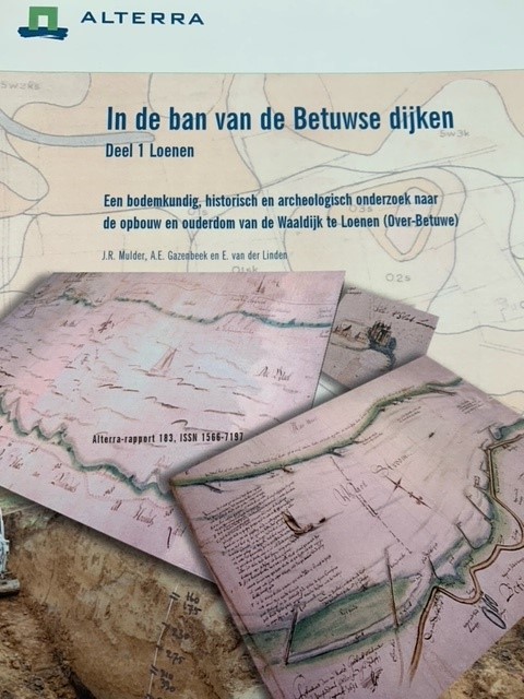
In de ban van de Betuwse dijken. Een bodemkundig, historisch en archeologisch onderzoek naar de opbouw en ouderdom van dijken. Complete set of 5 volumes. Deel 1: Loenen, Deel 2: Oosterhout, Deel 3: Doornenburg (Roswaard), Deel 4: Angeren, Deel 5: Malburgen.
MULDER, J.R.; KEUNEN, L.J.; ZWART, A.J.M, · 2001 · Antiquariaat Goltzius
€172.50 ($190.13 | £143.89 | ¥30,365)
Wageningen, WUR - Alterra, 2001-2004, 45+86+62+111+162pp. many illustrations and maps, original illustrated bindings.
Memorie betreffende de dijks- en polderdistricten in de Provincie Overijssel, meer bepaaldelijk met het oog op derzelver geldmiddelen. Met een kaartje van de grenzen der dijksdistricten.
DEVENTER, J. VAN, SANDBERG, W.T., · 1858 · Antiquariaat Goltzius
€143.75 ($158.44 | £119.91 | ¥25,304)
Zwolle, Erven J.J. Tijl, 1858, 85pp. handcoloured lithograph map \"Grenskaartje der Dijksdistricten in Overijssel\" (W. van Delden, Zwolle), original half linen binding, edges frayed of binding, otherwise solid binding.
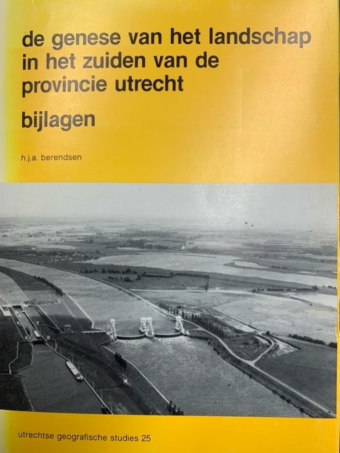
de genese van het landschap in het zuiden van de provincie Utrecht.
BERENDSEN, H.J.A., · 1982 · Antiquariaat Goltzius
€189.75 ($209.14 | £158.28 | ¥33,402)
Utrecht, Geografisch Instituut Rijks8universiteit Utrecht, 1982, Utrechtste Geografische Studies 25, 257pp. original softcover binding, complete set in two volumes, book and folder with 5 large fold out maps and legenda. Library stamp of Stichting film en wetenschap. Bookplate...

De oeververdediging in Zeeland sedert 1860. 3e stuk. De linkderoever der Westerschelde voor het waterschap de Vereenigde Polders van Ossenisse.
HOGERWAARD, M.B.G.,, · 1884 · Antiquariaat Goltzius
€109.25 ($120.42 | £91.13 | ¥19,231)
Middelburg, Van Benthem & Jutting, 1884, 18pp. 5 fold out lithograph maps, original paper softcover binding, spine reinforced, some wear and tear to binding. Handwritten \"Van den Schrijver\" on front. Bookplate of G.P. van de Ven.
Aan de Wieg van het Waterschap. Inventarisatie van dijken, kaden, watergangen in het Gelders rivierengebied. Ontwerphandreikingen voor wateropgaven.
2009 · Antiquariaat Goltzius
€51.75 ($57.04 | £43.17 | ¥9,110)
Gelderland, waterschap/Provincie, 2009, 65pp. original softcover binding, 4 fold out maps.
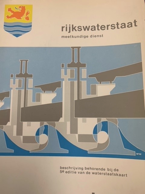
Beschrijving van de provincie Zeeland, behorende bij de 5e editie van de waterstaatskaart.
RIJKSWATERSTAAT, · 1984 · Antiquariaat Goltzius
€46.00 ($50.70 | £38.37 | ¥8,097)
Delft, Rijkswaterstaat Meetkundige dienst, 1984, 47 pp., original softcover binding, many ilustrations, 5 fold out maps.
Beschrijving van de provincie Zeeland, behorende bij de waterstaatskaart.
RIJKSWATERSTAAT, · 1971 · Antiquariaat Goltzius
€28.75 ($31.69 | £23.98 | ¥5,061)
1971. SDU, 's-Gravenhage. 139 pp., original linen binding, with original dustwrapper, many ilustrations, 16 fold out maps.
Historische Atlas van de Biesbosch
WIJK, W. VAN, · 2012 · Antiquariaat Goltzius
€28.75 ($31.69 | £23.98 | ¥5,061)
Zwolle, Uitgeverij WBOOKS, 2012, 208pp. many illustrations, original hardcover binding.