
Viaggi e geografia
Letteratura di viaggio, esplorazioni, carte geografiche e topografia.
Risultati della ricerca
107384 libri in Viaggi e geografia
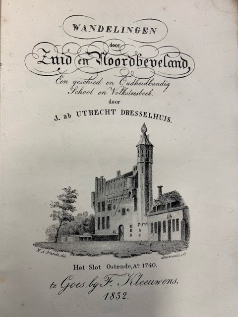
Wandelingen door Zuid- en Noordbeveland. Een geschied- en oudheidkundig school en volksleesboek. Eerste stukje en tweede stukje (van 3).
Dresselhuis, J. ab Utrecht · 1833 · Antiquariaat Goltzius
€86.25 ($95.07 | £71.95 | ¥15,183)
Goes: F. Kleeuwens, 1833-1834 (op gegraveerde titelpagina: 1832.) twee delen van de set van 3. 173pp. Gegraveerde titelpagina, gelithografeerde blik op Slot Ostende (M.A. Brandt/Steuerwald), uitvouwbare kaart. Gebonden in papieren softcover bandjes.

Buskaartje; Bus ticket. N.Z.H. nr. 92955 een rit 10ct.
0 · Antiquariaat Goltzius
€28.75 ($31.69 | £23.98 | ¥5,061)
Schiedam, Roelants, unused busticket 3x8,3cm, Noord en Zuid-Hollandse Busmaatschappij (N.Z.H.)
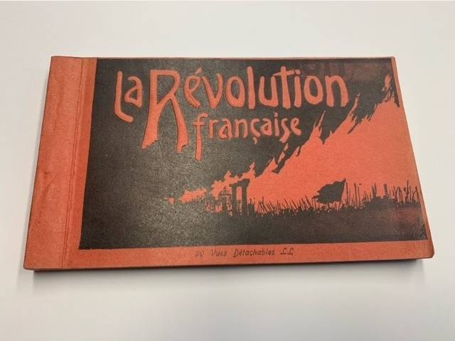
La Revolution Francaise, set of 20 postcards
0 · Antiquariaat Goltzius
€28.75 ($31.69 | £23.98 | ¥5,061)
Paris, Levy et Neurdein Reunis, 20 reproductions b/w of engravings and prints concerning the French Revolution 9x15cm.
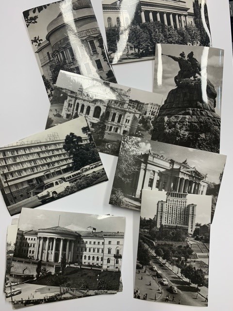
Kiev 20 photographs 1967
1967 · Antiquariaat Goltzius
€28.75 ($31.69 | £23.98 | ¥5,061)
Collection of 20 b/w photographs of the city of Kiev from 1967. 9x6cm. in original paper folder.

Beschrijving van de provincie Noord Holland. Behorende bij de waterstaatskaart. 1950.
1950 · Antiquariaat Goltzius
€34.50 ($38.03 | £28.78 | ¥6,073)
's-Gravenhage, Staatsdrukkerij, 1950, xvi,385pp. with 4 original maps and one map (V) in photocopy.
Oude kaarten en de geschiedenis van de kop van Noord-Holland. Verhandelingen der Koninklijke Nederlandse Akademie van Wetenschappen, Afd. Natuurkunde
WESTENBERG, J., · 1961 · Antiquariaat Goltzius
€40.25 ($44.36 | £33.57 | ¥7,085)
Amsterdam, Noord-Hollandsche Uitgevers Maatschappij, 1961, 68pp. and further plates, original softcover illustrated binding, some wear and tear. Bookplate of Prof. G.P. van de Ven.
Ooibossen. Bosecosystemen van Nederland 2
WOLF, R.J.A.M., [ED.], · 2001 · Antiquariaat Goltzius
€34.50 ($38.03 | £28.78 | ¥6,073)
(Utr.), KNNV Uitgeverij, (2001), 5x21 cm. 200pp. hardcover illustrated binding, bookplate of Prof. G.P. van de Ven.
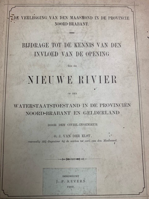
De Verlegging van den Maasmond in de Provincie Noord-Brabant. Bijdrage tot de Kennis van den Invloed van de Opening van de Nieuwe Rivier op den Waterstaatstoestand in de Provinciën Noord-Brabant en Gelderland
ELST, G.J. VAN DER, · 1902 · Antiquariaat Goltzius
€57.50 ($63.38 | £47.96 | ¥10,122)
Dordrecht. J.P. Revers, 1902, 153pp. later half linen hardback binding, library stamps on flyleaf and titlepage, bookplate of Prof. G.P. van de Ven. many charts and fold out charts, two fold out chromelithograph maps, from library of Aloysius-college Den Haag. Very good and cl...
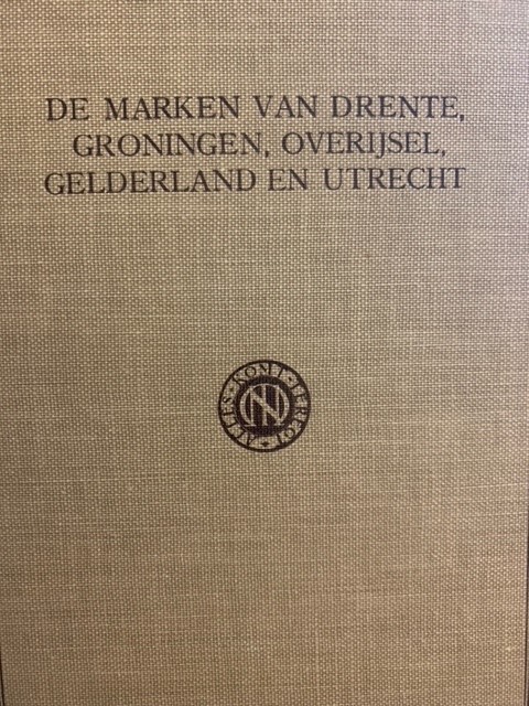
Geschiedkundige atlas van Nederland. De marken van Drente, Groningen, Overijsel en Gelderland. Eerste aflevering I. De Drentsche Marken en II. De Groningsche Marken, Marken in Gelderland, Marken in Overijssel, Marken in Utrecht.Tekst bij kaart 6.
JONGE VAN ELLEMEET, B.M. / JOOSTING, J.G.C., · 1920 · Antiquariaat Goltzius
€287.50 ($316.88 | £239.82 | ¥50,608)
Den Haag, Martinus Nijhoff, 1920-1925, 156+183+128pp. linen tooled binding, lettering on front and spine. complete set of the texts concerning the mentioned provinces. Good state. Several authors.

Topographical map of The Netherlands, topografische kaart van Nederland. Military map of the Netherlands. Bonnebladen.
1919 · Antiquariaat Goltzius
€40.25 ($44.36 | £33.57 | ¥7,085)
One page printed chromo topographical map paper on linen, 50x80cm. a so called bonneblad, based on the projection of Bonne. Attractive topographical maps in colour. scale 1:50000. The following maps are present: Heerlen 1919/1930; Oost Tiel 39 Oost 1977; Gennep 46 west 1978; G...

Topographical map of The Netherlands, topografische kaart van Nederland. Military map of the Netherlands. Bonnebladen.
1953 · Antiquariaat Goltzius
€40.25 ($44.36 | £33.57 | ¥7,085)
One page printed chromo topographical map paper on linen, 50x80cm. a so called bonneblad, based on the projection of Bonne. Attractive topographical maps in colour. scale 1:25000. The following maps are present: Oosterbeek 40A: 1953-1957; Biesbosch 44B 1956; Oosterhout 44D 195...
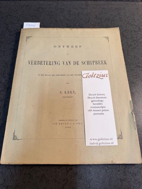
Ontwerp tot verbetering van de Schipbeek in het belang der afwatering van het Waterschap de Schipbeek
LELY, C., · 1884 · Antiquariaat Goltzius
€402.50 ($443.64 | £335.74 | ¥70,852)
Zwolle, Erven J.J. Tijl, 1884, 72,xvi,ii, 6 (fold out) lithograph plates (charts and a chromolithograph map), original softcover binding, some damage to edges of front and back, written by the famous engineer Cornelis Lely (1854-1929). Bookplate of Prof. G.P. van de Ven. Scarce.
Levend verleden. Een verkenning van de cultuurhistorische betekenis van het Nederlandse landschap
HAARTSEN, A.J. & A.P. DE KLERK, · 1989 · Antiquariaat Goltzius
€28.75 ($31.69 | £23.98 | ¥5,061)
s-Gravenhage, SDU, 1989; 166pp.original softcover binding.
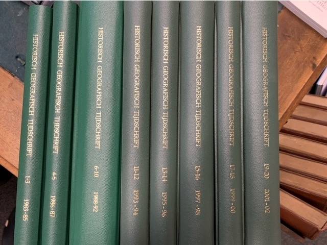
Historisch Geografisch Tijdschrift.
BARENDS, S. (ED.), · 1983 · Antiquariaat Goltzius
€287.50 ($316.88 | £239.82 | ¥50,608)
Utrecht, Matrijs, 1983-2002, complete set up to 2002 of this periodical, many illustrations and maps, all bound in uniform linen hardcover bindings, gilt titles on spines. From the library of Prof. G.P. van de Ven. Very good set. As new.
Agrarian Landscape Terms. A Glossary for Historical Geography.
ADAMS, I.H., · 1976 · Antiquariaat Goltzius
€40.25 ($44.36 | £33.57 | ¥7,085)
London: Institute of British Geographers, 1976 (reprinted and revised 1977), xii,328pp. original softcover illustrated binding. Good state.
Geschiedenis van de kartografie van Nederland. Zes eeuwen land- en zeekaarten en stadsplattegronden.
KOEMAN,C., · 1983 · Antiquariaat Goltzius
€34.50 ($38.03 | £28.78 | ¥6,073)
Alphen aan de Rijn, Canaletto, 1983, 1st edition, 274pp. excluding index,, ills, original linen binding, gilt lettering on front and spine. original illustrated dustjacket with usual wear and tear.
Pannerden (prov.Gelderland). Origineel gelithografeerd kaartje uit de Gemeenteatlas ca. 1867, 25x19 cm.folded, hand coloured boundary.
Kuyper, J. · 0 · Antiquariaat Goltzius
€57.50 ($63.38 | £47.96 | ¥10,122)
Published by Hugo Suringar, Leeuwarden.
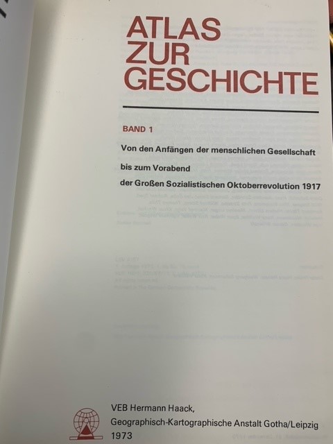
Atlas zur Geschichte .1 & 2., Von den Anfängen der menschlichen Gesellschaft bis zum Vorabend der Großen Sozialistischen Oktoberrevolution 1917/Von der GroBen Sozialistischen Oktoberrevolution 1917 bis 1972.
1973 · Antiquariaat Goltzius
€57.50 ($63.38 | £47.96 | ¥10,122)
Gotha/Leipzig, Hermann Haack/Goegrapish-Kartograpische Anstalt, 1973-1975, 256+232pp. fold out chart in each volume, original linen bindings, gilt lettering on front and spines, original dustjackets, interesting atlas printed in the German Democratic Republic (DDR). This atlas...
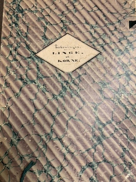
Set of 18 original maps of the river De Linge. \"Profielteekeningen van de rivier de Linge vanaf de groote brug, in de weg van Tiel naar Amerongen, tot de Lingesluis te Asperen.\"
0 · Antiquariaat Goltzius
€575.00 ($633.77 | £479.63 | ¥101,217)
18 handdrawn maps 51x51cm, each with handwritten note by Griffier of Staten van Gelderland Bauw on reverse, showing the stretch of the river De Linge in profile. In original half linen folder with title on front and marbled boards. Unique document.
Flugbild Europas
EGLI, E., · 1958 · Antiquariaat Goltzius
€28.75 ($31.69 | £23.98 | ¥5,061)
Artemis Verlag, Zürich, 1958, 225pp. original linen binding. many aerial photographs of Europe.