
Viaggi e geografia
Letteratura di viaggio, esplorazioni, carte geografiche e topografia.
Risultati della ricerca
107384 libri in Viaggi e geografia
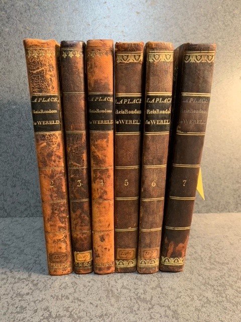
Reis rondom de wereld door de zeeën van Indië en China uitgevoerd met Z.M. korvet van oorlog, La Favorite, gedurende de jaren 1830, 1831 en 1832, onder bevel van de fregatskapitein C.P.T. La Place uitgegeven op last van den vice-admiraal Graaf de Rigny, minister van marine en kolonien (...).
LAPLACE, C. P. T., · 1834 · Antiquariaat Goltzius
€920.00 ($1,013.96 | £767.54 | ¥161,917)
Zaltbommel, J. Noman and Son 1834-1836, first Dutch edition 6 of 7 volumes (vol 1 is missing), 8vo, foxing to all volumes, severe waterdamage to third volume, fold out plate and other plate damaged in third volume, some (minor) waterstaining to all other volumes but generally ...

Help U Zelf / Jaar- en Adresboek van Bloemendaal, Overveen, Aerdenhout. Bentveld, Vogelenzang etc. 1951
Tideman, Mr. P. · 1951 · Antiquariaat Goltzius
€69.00 ($76.05 | £57.57 | ¥12,144)
Haarlem, Eikelenboom, 1951, hardcover gebonden, 143 pp. met naam- en adressenlijst van beroepen, etc, etc. In goede staat.
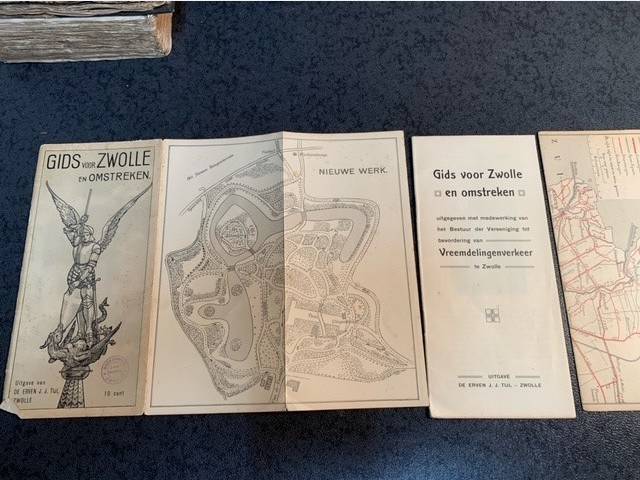
Gids voor Zwolle en omstreken.
1920 · Antiquariaat Goltzius
€92.00 ($101.40 | £76.75 | ¥16,192)
Zwolle, De erven J.J. Tijl, [no date, circa 1920] 32pp. original illustrated binding, front and back loose, these are two chromolithograph maps: Nieuwe werk/Platte grond van Zwolle and two sided map of Zwolle and its surroundings. Complete and scarce guide to Zwolle. Illustrat...
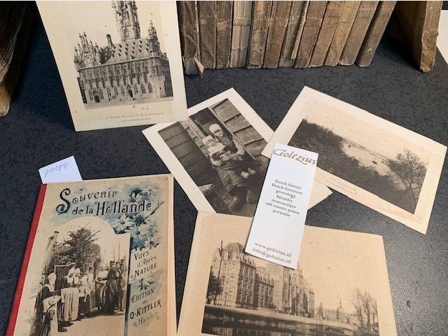
Souvenir de la Hollande. Vues d'Apres Nature.
0 · Antiquariaat Goltzius
€57.50 ($63.37 | £47.97 | ¥10,120)
Haarlem, O. Kittler, [last part 19th century/early 20th] phtographs by H. Kleinmann & Co. (Harlem, Hollande). original illustrated folder with 10 photographic reproductions of views of Holland: Nijmegen, Scheveningen, Utrecht, Arnhem, Marken, Prins Hendrukkade Amsterdam, Rijks...
Tijdschrift voor Waterstaatsgeschiedenis 2003-2017.
2011 · Antiquariaat Goltzius
€51.75 ($57.04 | £43.17 | ¥9,108)
Complete set in loose separate volumes of this important periodical on the history of watermanagement in the Netherlands. Illustrated. Two editions per year, except 2011 (only one volume published) and 2017 (only nr 1 present)
Verhandelingen der Koninklijke Akademie van Wetenschappen. Afdeeling letterkunde. Derde deel. Met eene kaart. (De kaart van Hollands Noorderkwartier in 1288).
VRIES, G. DE, · 1865 · Antiquariaat Goltzius
€80.50 ($88.72 | £67.16 | ¥14,168)
Amsterdam, C.G. van der Post, 1865, 104pp. with a large fold out chromolithograph map: Hollands Noorderkwartier in 1288. Map damaged in the folds.
Advies Integrale Verkenning Benedenrivieren. Vergroting van de afvoercapaciteit in de benedenloop van Rijn en Maas with bijlage.
2000 · Antiquariaat Goltzius
€46.00 ($50.70 | £38.38 | ¥8,096)
Rotterdam, 2000, complete set in two parts with original folder. Many charts, maps and illustrations. Edges of folder frayed.
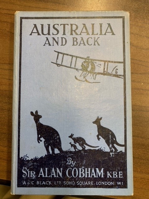
Australia and back.
COBHAM, A., · 1926 · Antiquariaat Goltzius
€46.00 ($50.70 | £38.38 | ¥8,096)
London, A. & C. Black,1926, (4),124pp. frontispiece photograph of the writer on a seaplane, minimal 26 other b/w photographs, endpapers show a map of his flight from June 30 to October 1, 1926. Original linen ilustrated binding, usual wear and tear, no DJ. Foreword by the RT. ...

All Aboard for Singapore. A Trip by Qantas flying boat from Sydney to Malaya.
CLUNE, FRANK, · 1941 · Antiquariaat Goltzius
€46.00 ($50.70 | £38.38 | ¥8,096)
Sydney/London, Angus and Robertson, 1941, x,241pp. original linen binding, lettering on soiled and faded spine, usual wear and tear to binding, no DJ, 13 photographs, coloured maps as endpapers, Francis Patrick Clune, OBE, (27 November 1893 - 11 March 1971) was a best-selling ...
Grondverliezen in Zeeland. De oevers van de Watering van Scherpenisse en Wissenkerke (1:80.000). Voormalige en tegenwoordige toestand der Rijnverdeeling 1:125.000. Een gedeelte van het Hollandsche polderland. Doorsnede over polders, enz. Lekdijk bovendams (bij Vreeswijk).
0 · Antiquariaat Goltzius
€46.00 ($50.70 | £38.38 | ¥8,096)
Chromolithograph Senefelder, Amsterdam, published by Thieme Zutphen, 36x45cm, attractive map with insets of 'doorsnede polders\" and \"een gedeelte van het Hollandsche Polderland (Wassenaar, Zoetermeer), with library stamp on front corner of Kaarten archief Geografisch Institu...
Bodemkaart van Nederland 1:250.000
1985 · Antiquariaat Goltzius
€28.75 ($31.69 | £23.99 | ¥5,060)
Wageningen, Stichting voor bodemkartering,1985, Set of 4 maps in plastic original folder with textbook. Complete set.
Fisher's drawing Room Scrap-Book. By the author of \"The women of England\".
NORTON, · 1845 · Antiquariaat Goltzius
€115.00 ($126.75 | £95.94 | ¥20,240)
London/Paris, Fisher, 1845, 64+(8)pp (text) and 36 engraved plates. Bound in publishers beige cloth with Blind stamped decor and gilt decoration of cherubs and flowers to boards, original spine with gilt title and decor to spine, foxing to some of the plates, text very clean b...
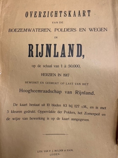
Overzichtskaart van de boezemwateren, polders en wegen in Rijnland op de schaal van 1 a 50.000 herzien in 1917 bewerkt en gedrukt op last van het Hoogheemraadschap van Rijnland.
1917 · Antiquariaat Goltzius
€661.25 ($728.78 | £551.67 | ¥116,378)
Leiden, P.J. Mulder & Zoon, [1917], softcover folded large paper binding (damaged) with the complete set of detailed chromolithograph maps of the complete area of the Hoogheemraadschap van Rijnland. 10 maps 83x127 and printed in 5 colours. Scarce.
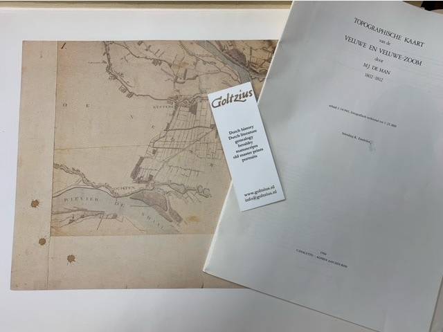
Topographische kaart van de Veluwe en Veluwe-zoom door M.J. de Man. (1802-1812). Inleiding door K. Zandvliet.
1984 · Antiquariaat Goltzius
€402.50 ($443.61 | £335.80 | ¥70,839)
Alphen aan den Rijn, Canaletto, 1984, 39pp. text with illustrations, in oblong white folder (some soiling to folder) with complete set of coloured reproduced maps.

Kaart van de hoofdrivieren op de schaal van 1:10.000: serie de O. en N. Merwede: Kaart van de rivieren de Oude en Nieuwe Merwede en de killen in het Bergsche veld in negen bladen. OPgemeten en vervaardigd door de landmeters E. Olivier Dz. en F.F. J. Machen.
1857 · Antiquariaat Goltzius
€2,070.00 ($2,281.41 | £1,726.96 | ¥364,313)
[Den Haag], Ministerie van Oorlog, Topografisch Bureau, [1857-1858], 10 large fold out maps 67x91cm in original folder. Detailed and chromolithograph maps of the Merwede river. Library stamp of Geografisch Instituut Utrecht on endpaper. Linen folder, some waterstains on bottom...
Reis door Noord-Holland in 1800. Gedaan door de gebroeders H. en J.P. Gildemeester met hunnen vriend F.W. Conrad.
SCHAIK, P. VAN, IJZENDOORN, A.E.L. VAN, ZAPPEY, W.M., · 2000 · Antiquariaat Goltzius
€34.50 ($38.02 | £28.78 | ¥6,072)
2000, 16e uitgave Kring van \"Vrienden van de Hondsbossche\", 38pp. illustrated, original softcover illustrated binding.

Naaukeurige aftekening van den loop der rivieren by Schenkenschans
TIRION, IS., · 1741 · Antiquariaat Goltzius
€109.25 ($120.41 | £91.14 | ¥19,228)
Map of the region around Schenkenschanz, which includes Pannerden, Zevenaar, Herwen and the castle at Elten. Engraving on hand laid paper, sheet size 302 x 211 mm., platemark 281 x 155 mm. Anonymous engraving, published by Isaak Tirion in 'Tegenwoordige staat der Vereenigde Ne...
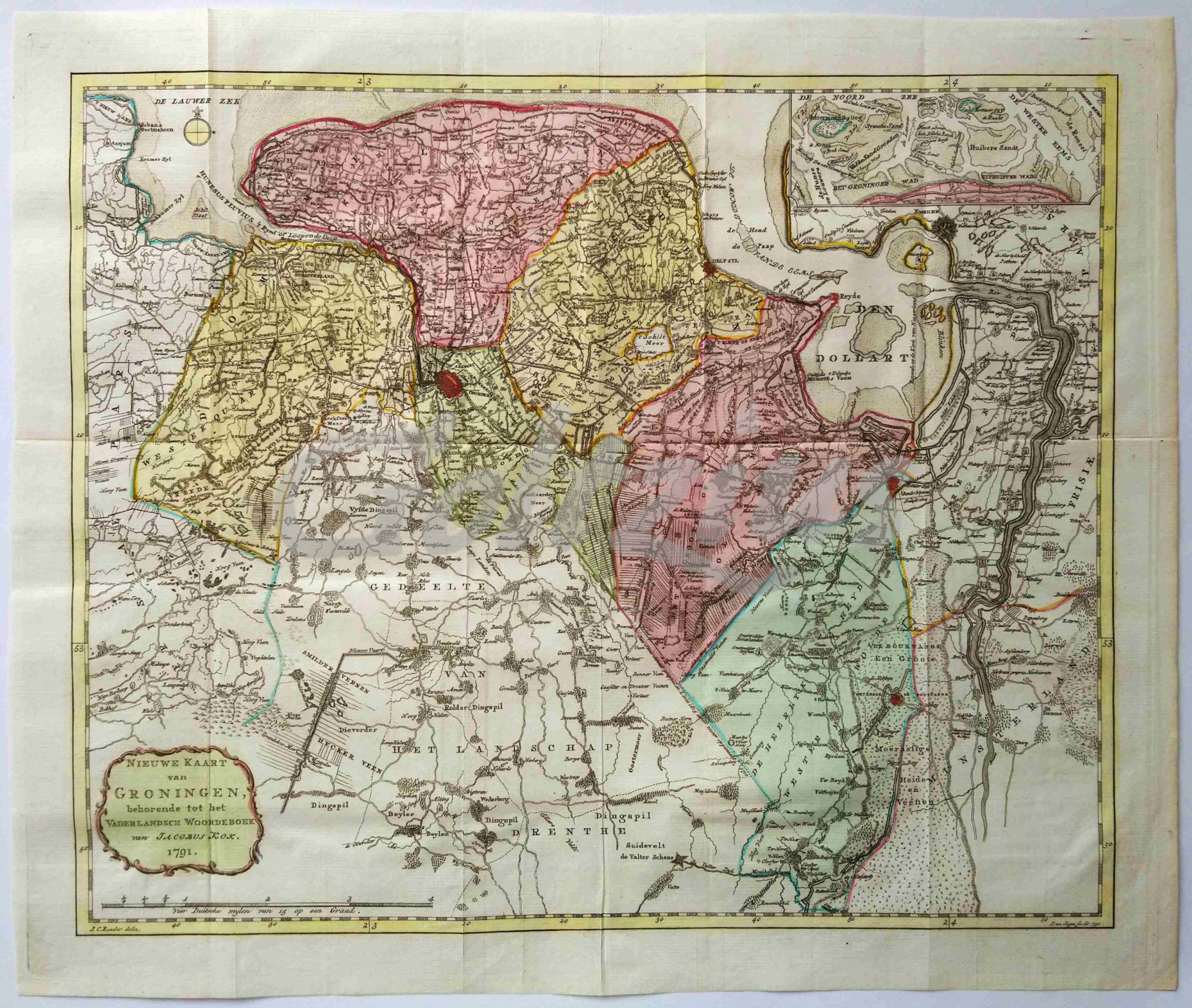
Nieuwe kaart van Groningen
JAGEN, JAN VAN, · 1707 · Antiquariaat Goltzius
€201.25 ($221.80 | £167.90 | ¥35,419)
Map of the Dutch province of Groningen. Engraving on hand laid paper, with hand colouring. Sheet size 435 x 364 mm., platemark 420 x 350 mm. Made by Jan van Jagen (1707-1800) after J.C. Roeder, and published in Jacobus Kok, 'Vaderlandsch Woordenboek', Amsterdam: Johannes Alla...

Het belegh der stadt Groningen in den Jaare MDXCIV
LUYKEN, JAN, · 1594 · Antiquariaat Goltzius
€143.75 ($158.43 | £119.93 | ¥25,300)
A plan of the siege of Groningen in 1594. The besieging force in the lower right corner. An inset with the Sint Walburgskerk lower right, a legend with coat of arms top right. A few important buildings are depicted in the plan. Etching and engraving on hand laid paper, sheet s...

De Stadt Zieric-Zee in Plattegront
ANONYMOUS, · 1721 · Antiquariaat Goltzius
€132.25 ($145.76 | £110.33 | ¥23,276)
A plan of the city Zierikzee in Zeeland, the Netherlands. Etching and engraving on hand laid paper, sheet size 431 x 293 mm., platemark 425 x 280 mm. Originally made for Smallegange's 'Kroniek van Zeeland'. This later version was made for Hugo Franciscus van Heussen's 'Oudhede...