Unamed — Hertfordshire
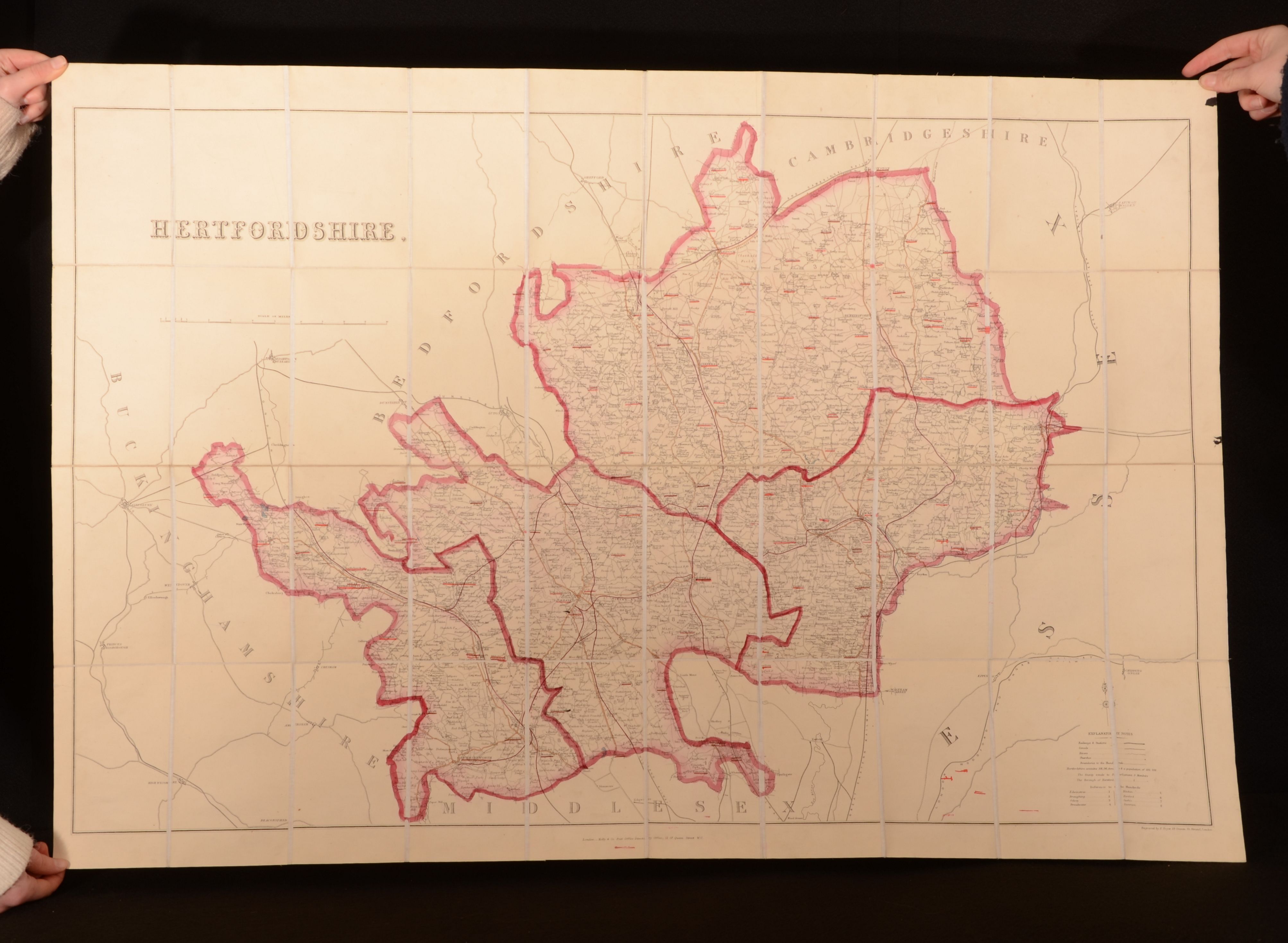
London, Edwards Stanford, c1878. Cloth. A very scarce large folding map being a illustration of the English county of Hertfordshire. A lovely example of this work of cartography. A large map held in the original cloth covered slipcase. Undated, dated using Copac. Hertfordshire is a county in the East of England, with this map being a example of the city in the 19th century. This large folding map is in excellent condition, with marbled endpapers. A lovely example of this work of British cartography. A large folding map, held in the original cloth covered slipcase. The map is very smart, with light patches of rubbing to the extremities. The map is bright and generally clean, with a small small ink spot to the top right corner of the map. The slipcase is generally smart, with light bumping to the extremities. Patches of rubbing to the boards. Label to the front board of the slipcase is lightly age toned, with a small ink spot to the head. The fading to the extremities. The slipcase is in very good condition. Very Good Indeed . Ill.: Unamed. Very Good Indeed .