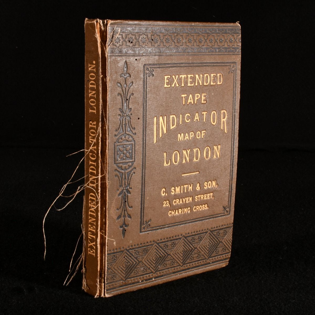
C. Smith & Son — Extended Tape Indicator Map of London
London, C. Smith & Son, 1902 . Cloth. A map of London for measuring distances, complete with a tape measure attached. Accompanied by an alphabetical list of streets, public buildings and railways.The map, which is backed on cloth and is in colour, is ruled in quarter-mile squares, and measure 37" by 24".Undated; dated from copies on Jisc. In the publisher's original full cloth binding. Externally a little worn, with backstrip lifting a touch as a result of wear to the joints; extremities are a little bumped. Ownership inscription to the first page. Internally, hinge is a little strained but remains firm. Pages are age toned. Good Only . Ill.: None. Good Only .
Machine translation by Google. The original description of the seller is leading.
Log in or create an account to translate descriptions. Accedi
Numero libro:
800R70
£59.00 (€70.72 | $77.95 | ¥12,443)