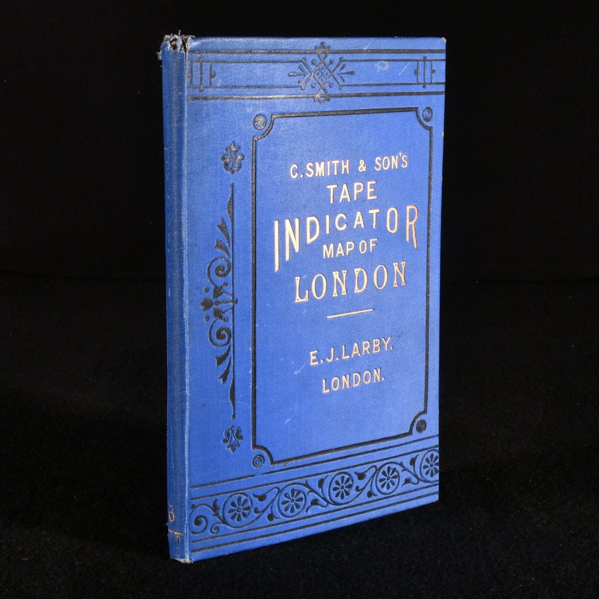
E. J. Larby — Tape Indicator Map of London
London, C. Smith & Son, 1910 . Cloth. A smart folding map of London printed by C. Smith & Son's, printed in colour for measuring distances. Map measures 36" by 24", is backed on cloth and in colour. Complete with an alphabetical list of seven thousand streets.The map is ruled in quarter-mile squares, and is accompanied with an index to public buildings, railway stations and places of amusement. Undated; dated from copies on Jisc. In the publisher's original full cloth binding. Externally generally smart; some slight bumping to the head and tail of the spine. Internally, firmly bound. Pages are a little age toned. The map is in excellent condition, with just the odd spot. Good . Ill.: None. Good .
Machine translation by Google. The original description of the seller is leading.
Log in or create an account to translate descriptions. Accedi
Numero libro:
800R69
£90.00 (€107.88 | $118.90 | ¥18,987)