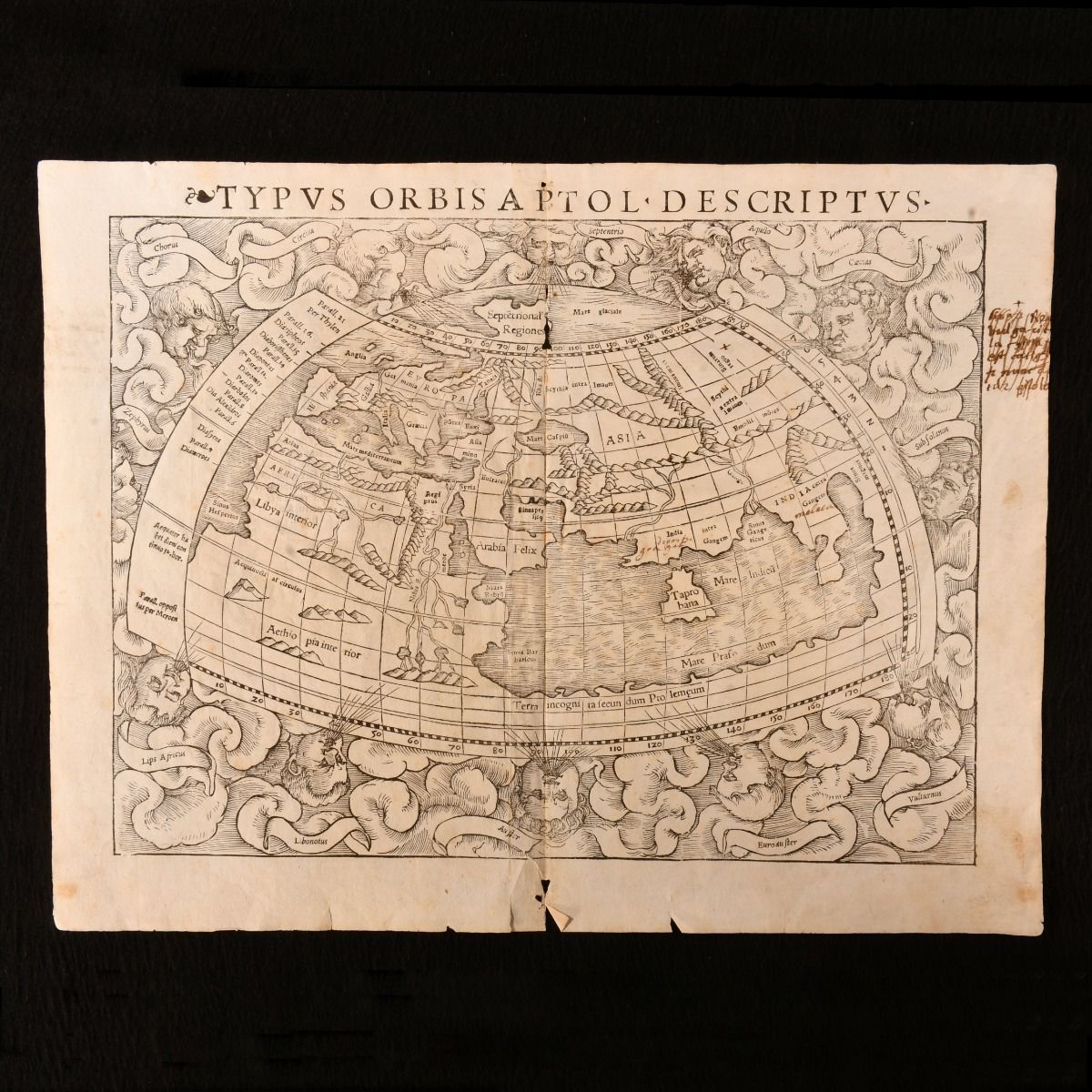
Sebastian Munster — Typus Orbis a Ptol. Descriptus
[Basileæ], [Henricum Petrum], 1545. Disbound. A very scarce map extracted from the 1545 edition of Sebastian Munster's 'Geographia Universalis', drawn from the written observations of Ptolemy. A single map from the very scarce 1545 edition of Munster's foundational work on geography. Identified as taken from the 1545 edition via the vertical crack in the ink that appears top right headwind, extending downwards.Clouds and eight named wind heads surround the world map, which depicts prevailing conception of world geography prior to the discovery of the New World, using the work of Claudius Ptolemy.No original maps created by Ptolemy survive, and so Munster undertook a recreation using his geographical coordinates and detailed instructions on how to create maps.àWith Latin text to verso. With crossed out ink marginalia to the upper right hand corner, and small ink notations beneath 'India' and 'Gangem&apos. Munster was a German cartographer and cosmographer, best known for his 'Cosmographia&apos.The map represents prevailing understanding of the day, and depicts an enclosed Indian Ocean, and multiple lake sources for the Nile. Disbound. Paper lightly age toned, with faint handling marks to perimeters. With a former owner's ink notation to the upper right hand corner. With central vertical fold. Small area of worming towards head of vertical fold, with minor loss and closed tear to fold tail. One further closed tear to the tail of the map. Small ink notations below 'India' and 'Gangem&apos. Light spotting to map reverse, concentrated at central fold. Good . Ill.: Sebastian MuÃÂOeÃÂnster. Good .