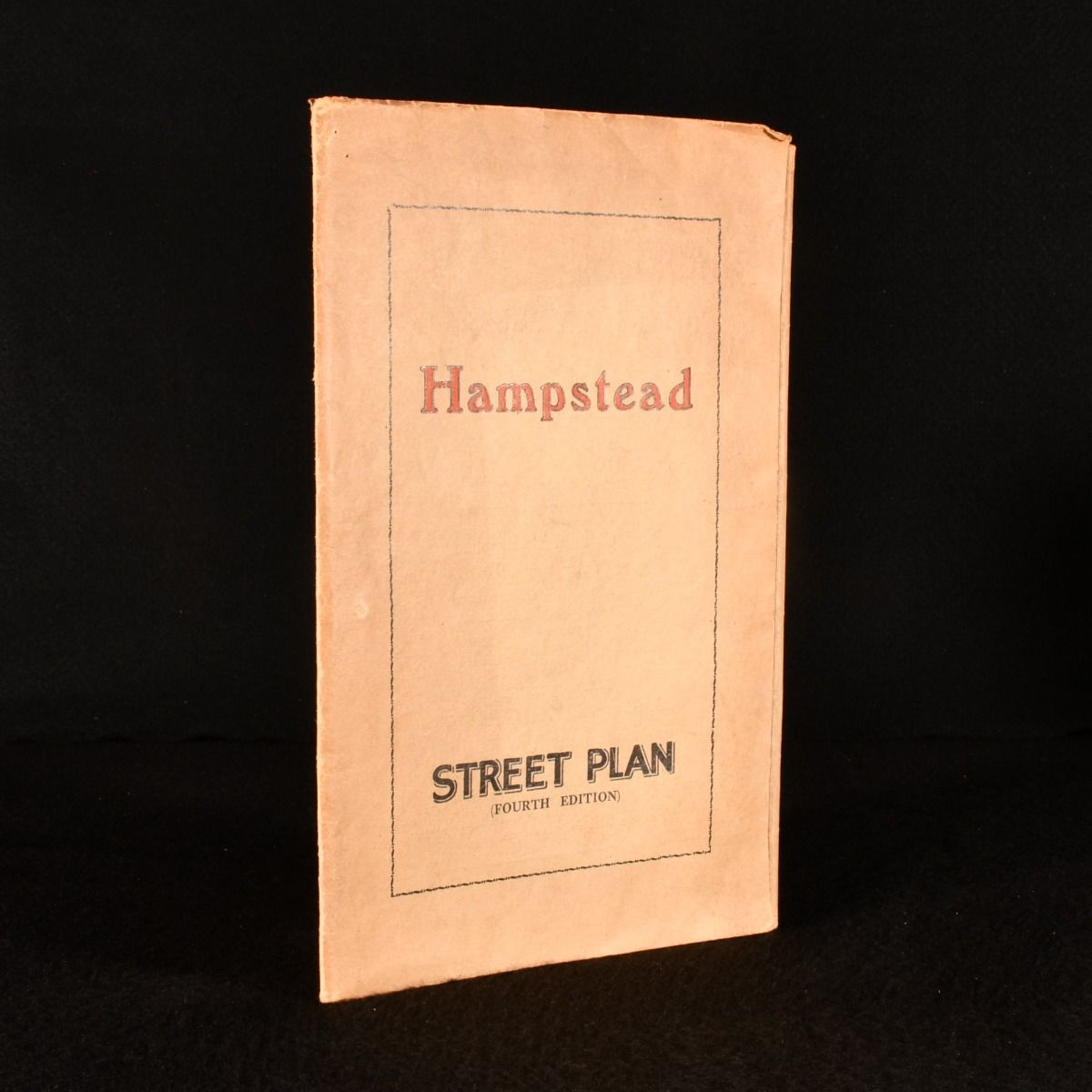
— Hampstead. Street Plan
London, G. W. May , c1930. Paperback. A very scarce folding street plan of Hampstead. A large folding lithographed street plan of Hampstead with tape measure housed in the original publisher's wraps. Containing a detailed street plan of the Hampstead borough of London, with topographical information printed to rear of the plan, and centred around advertisements for local business including seventeenth century pub 'King of Bohemia.'Â Undated, noted fourth edition on front wrap. The 'Places of Interest' information to rear notes the rebuilding of mentioned pub 'King of Bohemia,' which took place in the 1930s, dated from that information. A very scarce copy. In the original publisher's wraps. Externally sound with shelf wear, age toning to wraps. Map in mint condition with no marginal tears. Leaves slightly age toned as usual. Very Good Indeed . Ill.: Not Stated. Very Good Indeed .