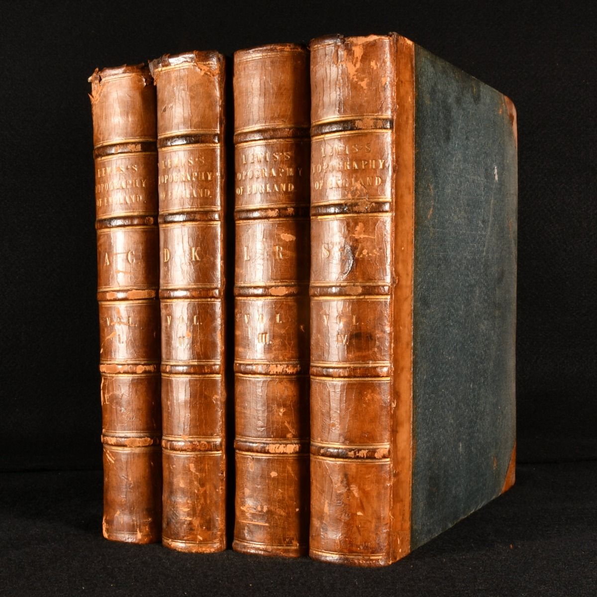
Samuel Lewis — A Topographical Dictionary of England
London, S. Lewis and Co. 1831. Leather. A smart four volume topographical work exploring Great Britain, complete with folding maps. This work is arranged alphabetically by place and describes English towns and villages at the time of publication. It ran six editions over the decades following.Samuel Lewis (c1782-1865) was a publisher of topographical texts of Great Britain.This is the first edition of this work.Volume I is illustrated with three folding maps and four plates. Volume II is illustrated with two folding maps and ten plates. Volume III is illustrated with six folding maps and six plates. Volume IV is illustrated with four folding maps and seven plates.Each volume also has in-text seals and coats of arms.Collated. In a half calf binding. Externally a trifle worn, with some slight loss to the leather of the spine and extremities, in particular to the heads of volumes I, III and IV. Ownership inscription to the front pastedown of each volume. Internally, generally firmly bound, with the front hinge all volumes exposed but remaining firm. Pages are mostly bright and clean, with a little offsetting opposing maps. The maps are somewhat spotted. The occasional tape repair to the maps, including the first map of volume I, the third and fourth map of volume III, and final map of volume IV. Good . Ill.: None. Good .