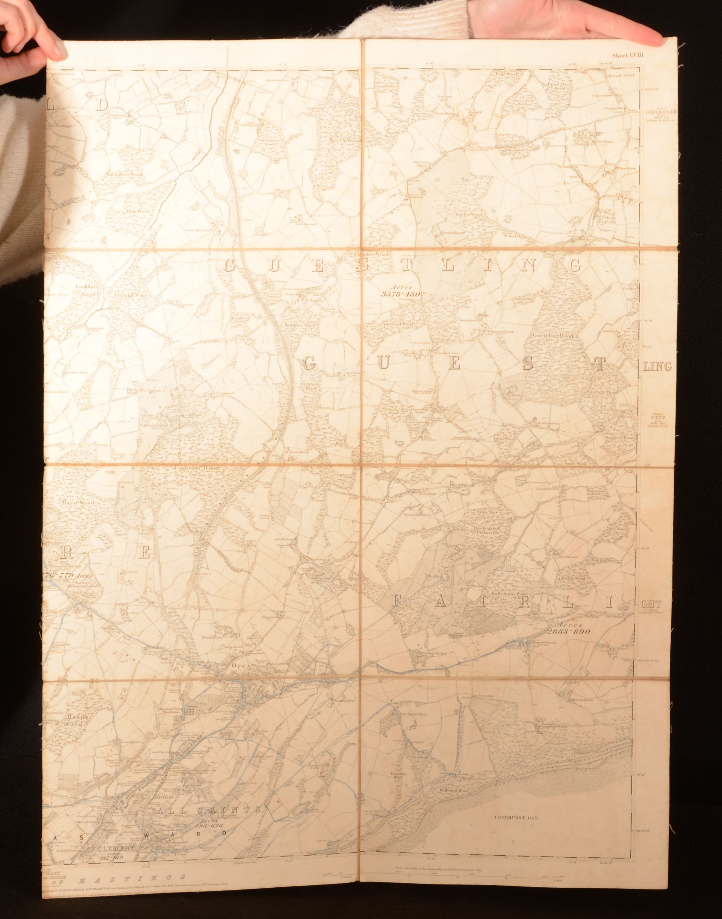
Unamed — Sussex
London, C Cooke, 1878. Disbound. A series of four large maps dating from the late nineteenth century being maps of the county of Sussex in the east of England. Four disbound maps. Each of the maps are neatly split in two halves. The maps are numbered as follows with to consecutive maps numbered LVII, LVIII, LXX and LXXI. Each of the maps are to the scale of 6 inches to 1 mile. Though the original source of these maps are unknown each are dated as published in the year 1878, with 1 published 30th November, and the following 3 on 31st October. The maps each entitled Sussex show parts of the county, including the coast, and areas such as Hastings and East Ward. Despite being split into half and detached, each of the maps are in very good condition. To the reverse of each map there are numerous library stamps and ink inscriptions, including library numbers. Disbound maps. Maps are lightly rubbed to the extremities when folded. Age toning and handling marks to the reverse of each map. Library stamps and ink inscriptions to the reverse of each maps. Each map is split in two halves neatly along the central fold. The maps themselves are generally clean with the odd handling mark, and the occasional spot. Light fraying to the extremities. The overall condition of the work is affected with but the maps binding. Good Only . Ill.: Unamed. Good Only .