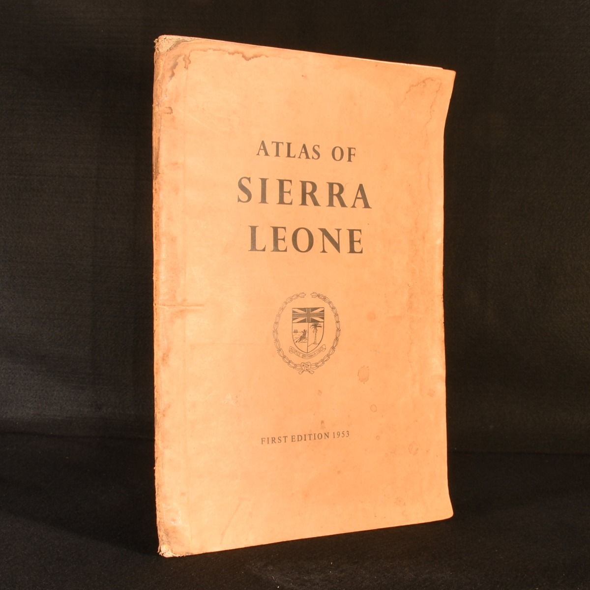
Anonymous [Survey and Lands Department Sierra Leone] — Atlas of Sierra Leone
Freetown, Survey and Lands Department Sierra Leone, 1953. First edition. Paperback. The first edition of a very scarce official atlas of Sierra Leone, showcasing the political and physical state of the West African nation before its independence. The first edition of the Atlas of Sierra Leone, an official Atlas created for the West African Nation, published in 1953, eight years before their independence in 1961, and compiled by the Survey and Lands Department. In the publisher's original paper wraps. Contains twenty-one colour maps across sixteen pages, as well as gazetteers of towns, rivers and hills as well as chiefdom names. Collated complete. Exploring both Sierra Leone's climate, vegetation, and physical geography, as well as political maps and tribal distribution, these in-depth maps offer readers valuable insight into the nation shortly before its independence. Maps of mineral deposits and agricultural products however emphasise how the country was still under British colonial rule. In the publisher's original paper wraps. Externally, browning and spots, mostly to the extremities. Signs of wear to head and tail of spine, and creasing to joints and edges. Darker spotting and smudging to spine, and to top rear wrap extremity. Browning to pastedown extremities. Internally, firmly bound. Pages are bright and generally clean with slight browning to leaf extremities. Good . Ill.: Anonymous [Survey and Lands Department Sierra Leone]. Good .