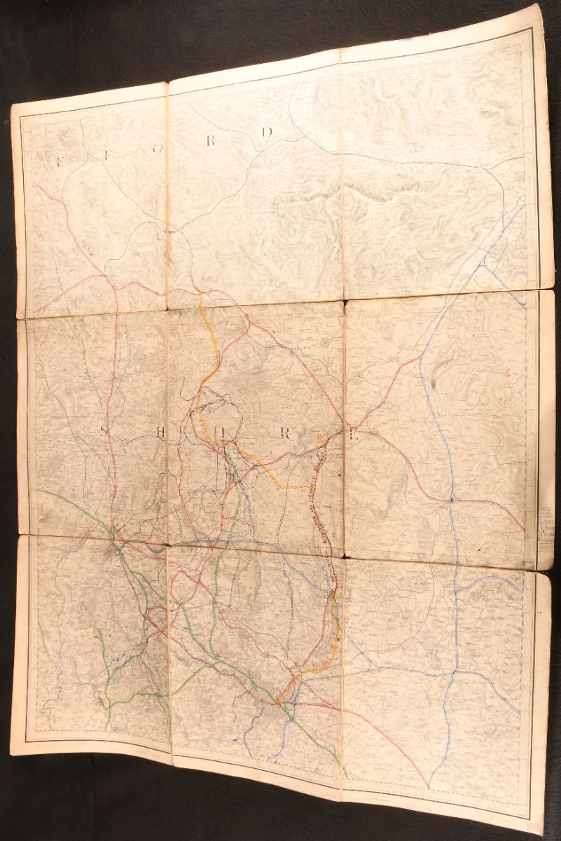
Lieut. Colonel Colby [Thomas Frederick Colby] — Sutton Coldfield, Lichfield & District
London, Ordnance Survey Office, 1876. Cloth. A very scarce Ordnance Survey map depicting Sutton Coldfield, Lichfield, and the surrounding region, completed by cartographer Thomas Frederick Colby. This copy of this very scarce map was electrotyped in 1876, from a map first engraved and published on January 9th, 1834.Unfolded, the map measures approx. 29.5" by 37.5".This map of the West Midlands of England was engraved under the direction of Thomas Frederick Colby, a British major-general and director of the Ordnance Survey, by Benjamin Baker and his assistants. Printed in partial colour.Rebound in cloth, the map is linen backed.Small neat pencil notations to margins.A wonderful and very scarce map, offering an impressive level of detail. Rebound in cloth, with typed label to front board. Rubbing to board perimeters. Light tide marks to tail of front board. Internally, firmly bound. The map is backed with linen. Map a touch age toned, with instances of light handling marks, and the odd marginal pencil notation. Good . Ill.: Lieut. Colonel Colby [Thomas Frederick Colby]; Benjamin Baker. Good .