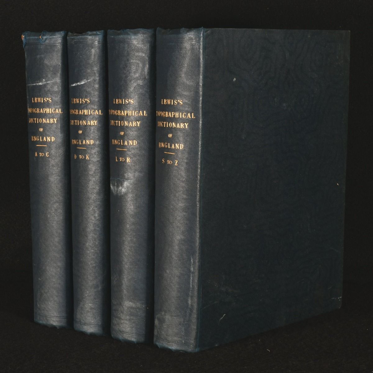
Samuel Lewis — A Topographical Dictionary of England
London , S. Lewis and Co, 1831. Cloth. A smart complete four volume set of A Topographical Dictionary of England, with folding maps. A first edition copy of this work. A complete four volume set of A Topographical Dictionary of England by Samuel Lewis, that comprises of the several counties, cities, boroughs, corporate and market towns, parishes, chapelries and townships and the Islands of Gurnsey, Jersey and Man with historical and statistical descriptions. These volumes complete a comprehensive and faithful delineation of the United Kingdom. The first volume, A-C, has a folding maps of England and Wales, Cheshire and Cumberland and has four plates. Volume two, D-K, has two folding maps and ten plates. Volume three, L-R, has six folding maps and six plates. Volume four, s-z, has four folding maps and seven plates. Collated, complete.Each volume also has in-text seals and coats of arms. Collated. All four volumes are bound in cloth. Externally, very smart with some bumping to the heads and tails of the spines and a few marks to the boards. Front hinge of volume one is starting but remains firm. Internally, firmly bound with generally bright and generally clean pages with the odd scattered spot throughout. Very Good . Ill.: Not Stated. Very Good .